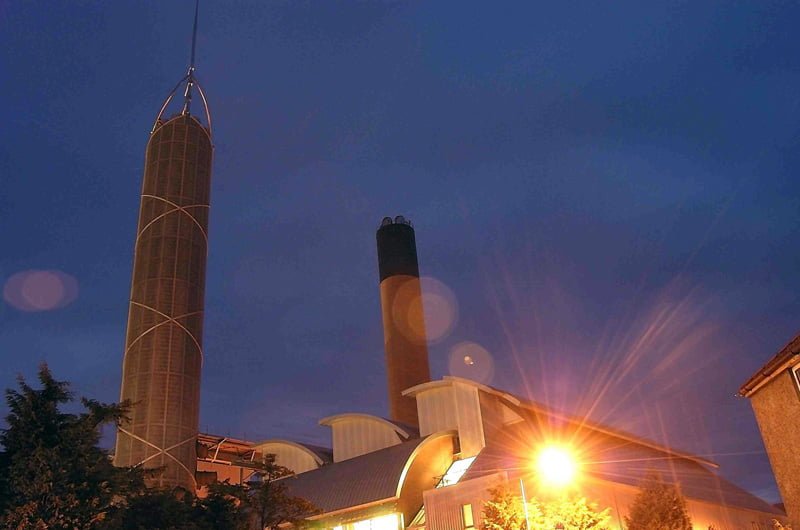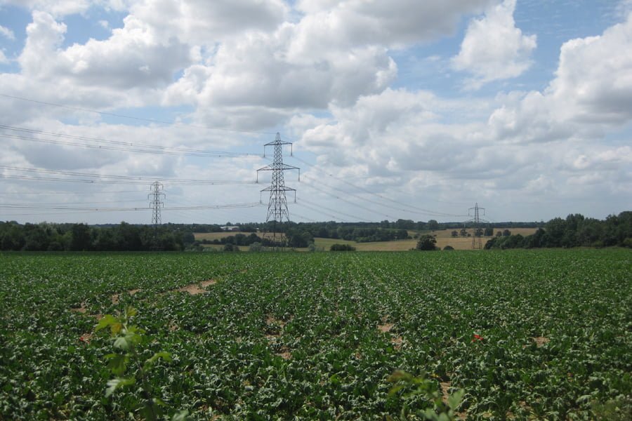

National Grid considered proposals for a 30km grid connection between Bramford and Twinstead. The identified route corridor crossed four river valleys: three are locally designated and the Box Valley is part of the Dedham Vale Area of Outstanding Natural Beauty.
TEP was the manager and coordinator of environmental impact assessment. TEP advised on the requirements of the Planning Act 2008 and the Infrastructure Planning (EIA) Regulations. TEP produced a Route Corridor Study which identified the key planning and environmental constraints and opportunities. This study was informed by consultation with planning authorities, statutory consultees and local communities.
TEP’s landscape architects, ecologists and heritage consultants provided detailed landscape, visual, ecological, arboricultural and historic environment assessment expertise. The Landscape Assessment considered the character of the south Suffolk and Essex landscape, using published assessments and site survey. The assessment considered the “Holford Rules” for routing of transmission infrastructure and other published good practice. The corridor was first considered as six ‘study areas’ of homogeneous landscape character. This allowed a second stage of assessment of the effects of connection options on the landscape.
The Visual Assessment considered views from public and private viewpoints. Chartered Landscape Architects recorded baseline views and considered the potential change to these views for each of the connection options. Zone of Theoretical Visibility (ZTV) mapping was used to inform and verify the visual assessment.
The Ecological and Arboricultural Assessment involved detailed surveys for bats, great crested newts, breeding and wintering birds, reptiles, water voles, otters and dormice. At the detailed design stage, arboricultural surveys were carried out to inspect trees of particular interest and identify mitigation measures which would be necessary.
The historic environment assessment involved desk-based and field surveys to identify the heritage resources within the corridor and to enable an assessment of the effects of connection options on the historic environment. The assessment included the identification of areas of high archaeological potential so that a strategy could be developed for the identification, avoidance and mitigation of archaeological remains. The contribution made by setting to the significance of heritage assets was also assessed and effects predicted.
The project closed when changes in generation proposals at that time meant that it was no longer a priority.