


TEP has recently finished a large upland peat and ecology survey commission. Results of this survey have been collated and the project is now in the reporting phase.
The aim of this project was to explore and map land function and ecological opportunity across a large (6034 ha) interconnected landscape. This included a detailed peat survey, hydrological mapping and ecology survey. The project report aims to identify landscape restoration opportunities considering all these factors to provide an integrated landscape strategy and a list of individual opportunities for the site.
The peat survey specifically involved the creation of a bespoke Fieldmaps peat survey tool which allows data to be inputted into a database in the field (offline or online). Data included;
- Peat depth and condition (according to peatland code classification),
- GPS tagged location and photos,
- Additional GPS tagged comments on vegetation, drainage and restoration opportunities.
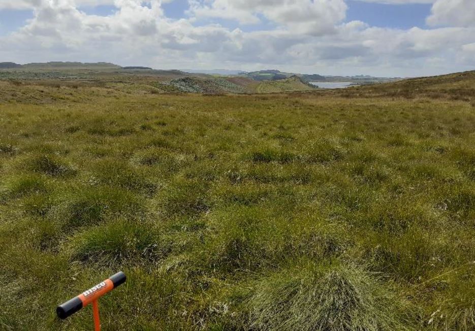
A total of 760.8 ha of peat was surveyed with over 976 data points. Maximum peat depth was 9.5 m and an average depth 1.85m. habitats surveyed included heavily grazed improved grassland, upland moor, fenland, deep peat bogs and blanket bog.
Project outputs have included a detailed webmap of peat data which has been shown in a variety of ways. This has included Individual peat points scaled to peat depth and interpolated heatmaps to estimate peat depth between survey points.
Services delivered included ecology surveys, hydrological mapping, peat surveying and mapping, long term landscape master planning, detailed GIS field and desktop mapping.