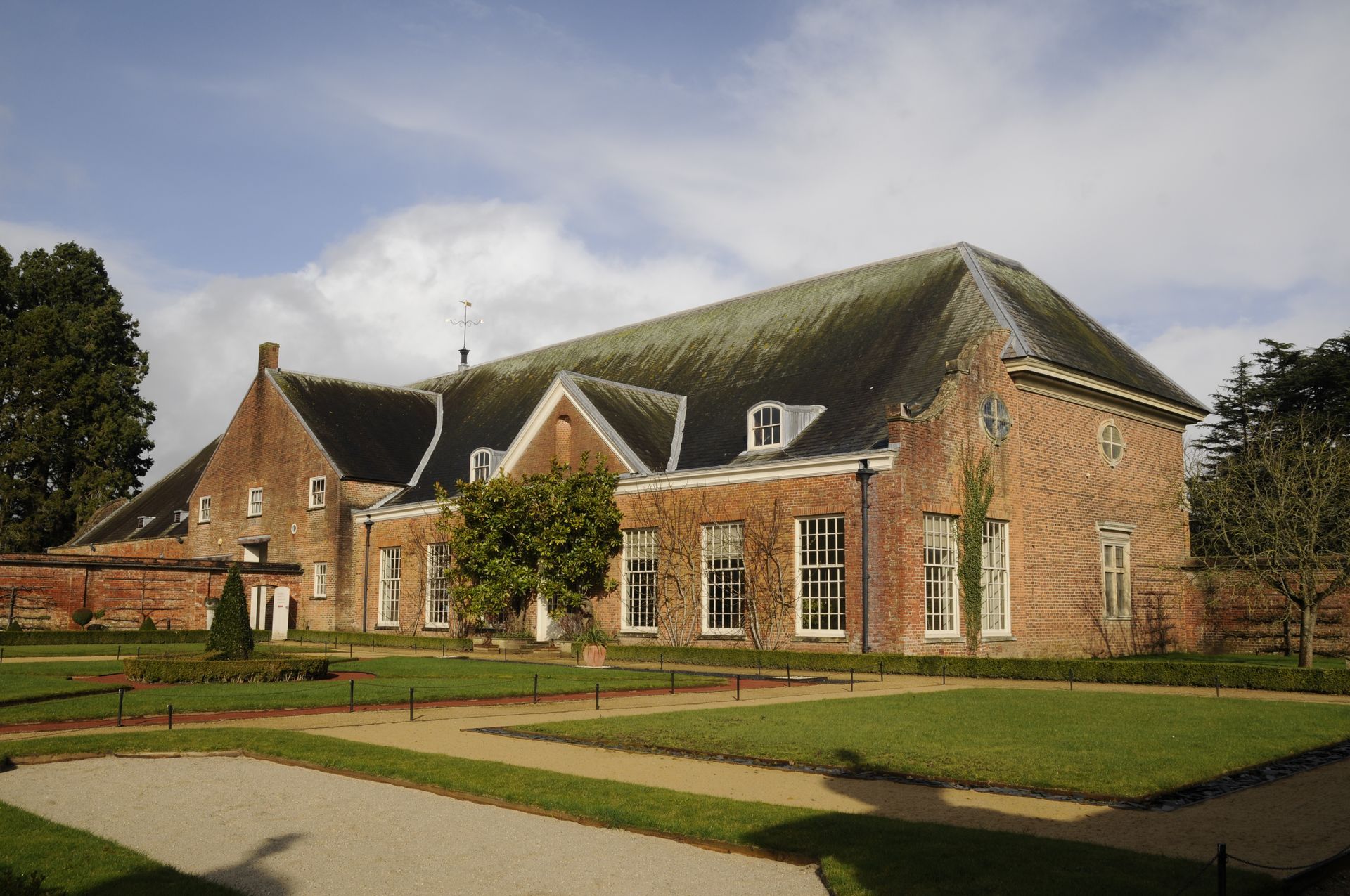
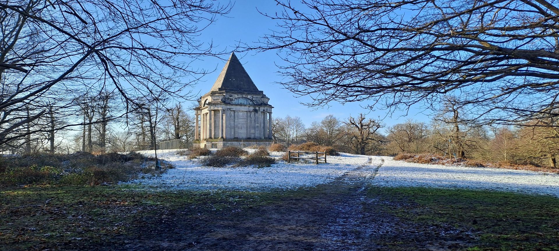
Tredegar House
Historic Environment
Cotswolds Visual Impact Provision
Planning and EIA
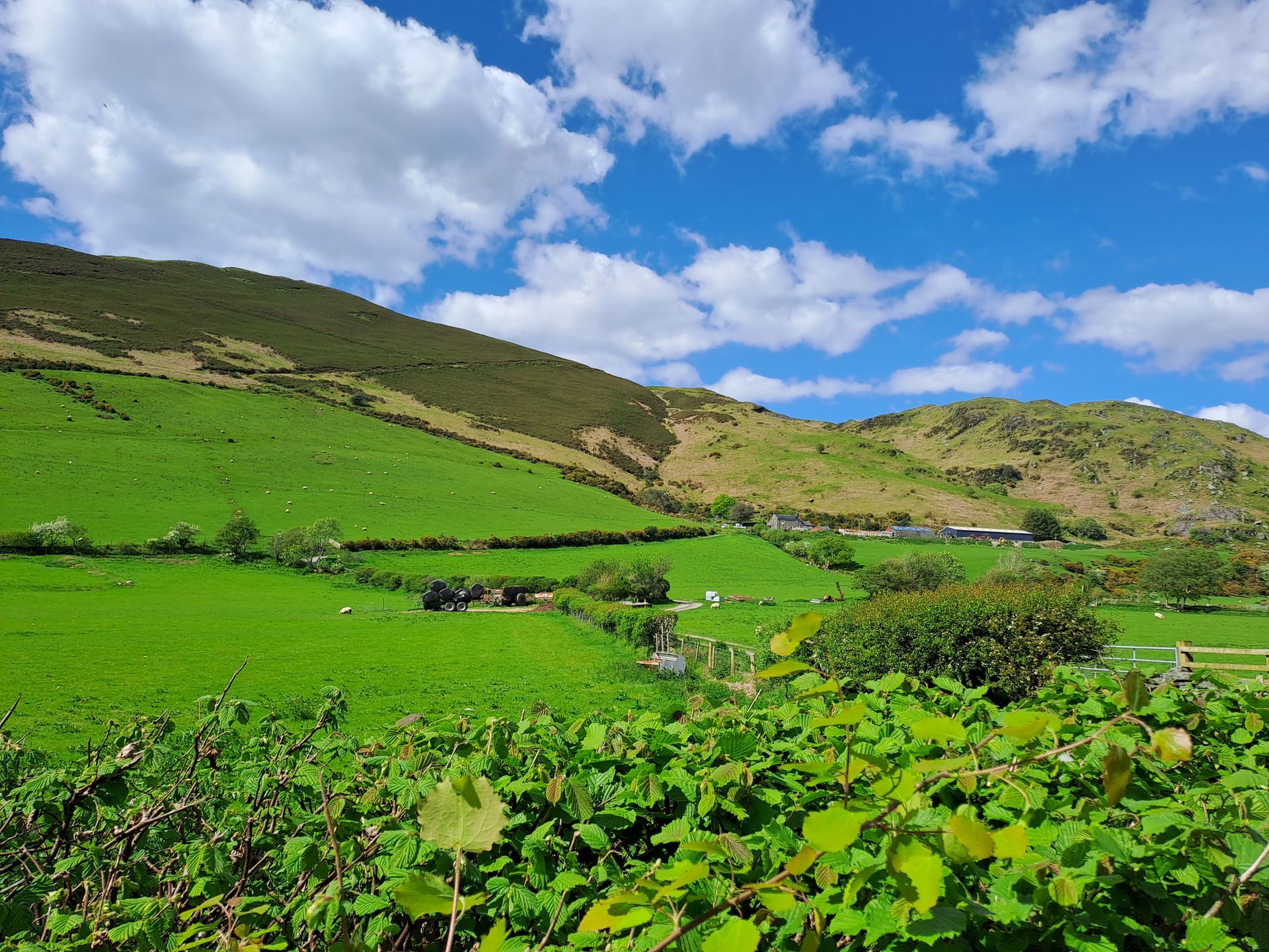
Tywyn Pipeline Replacement
Ecology, Landscape Assessment, Arboriculture, Historic Environment
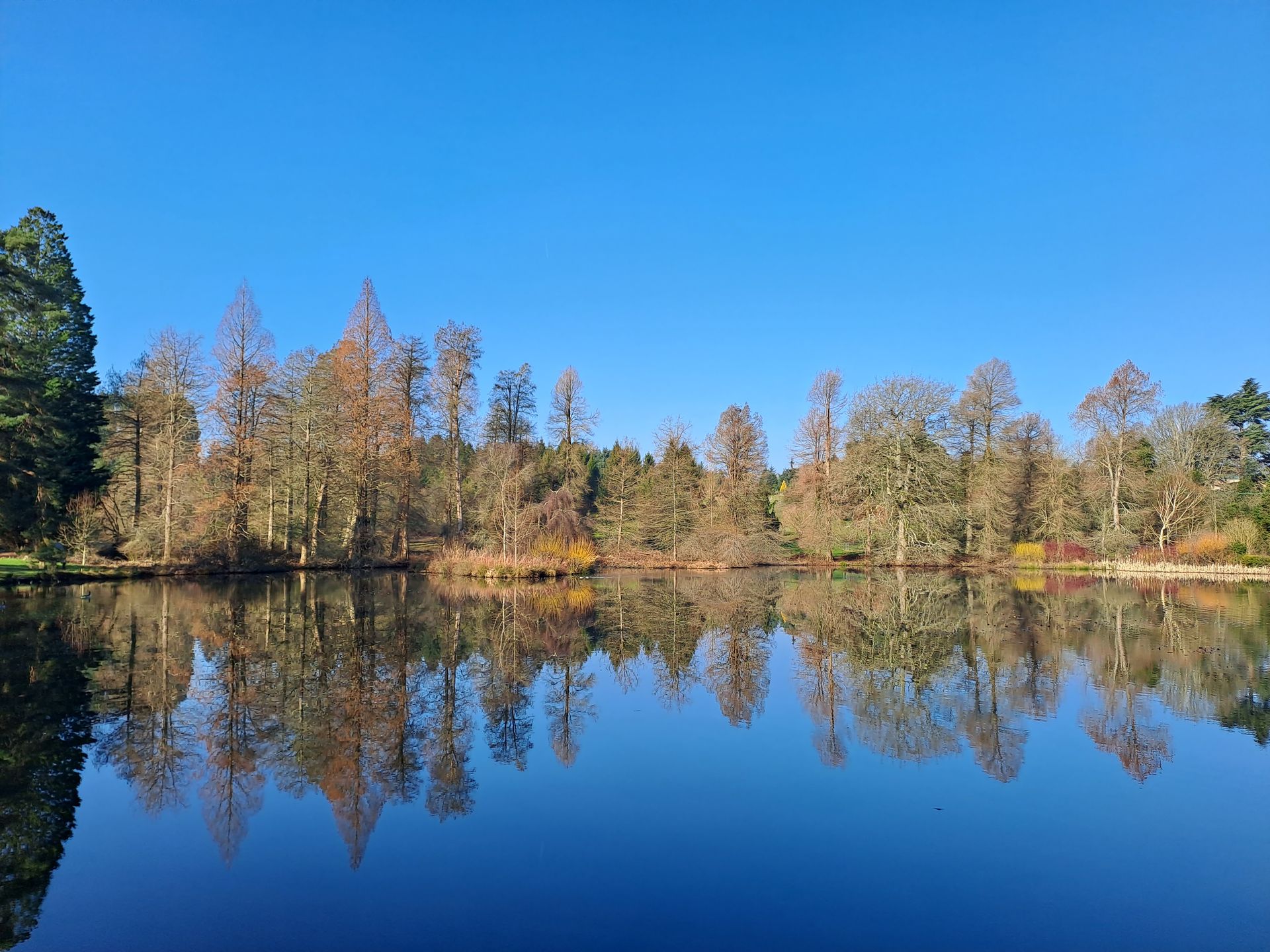
Bedgebury National Pinetum
Landscape Strategy, Geospatial
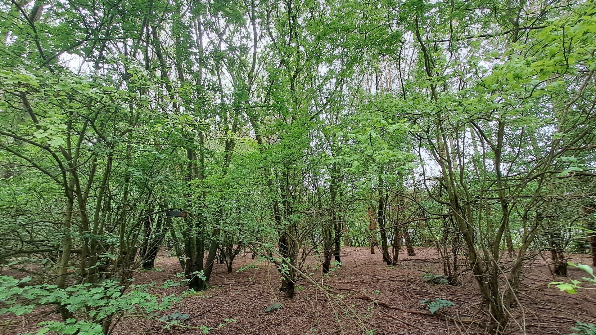
Timber Works
Landscape Design
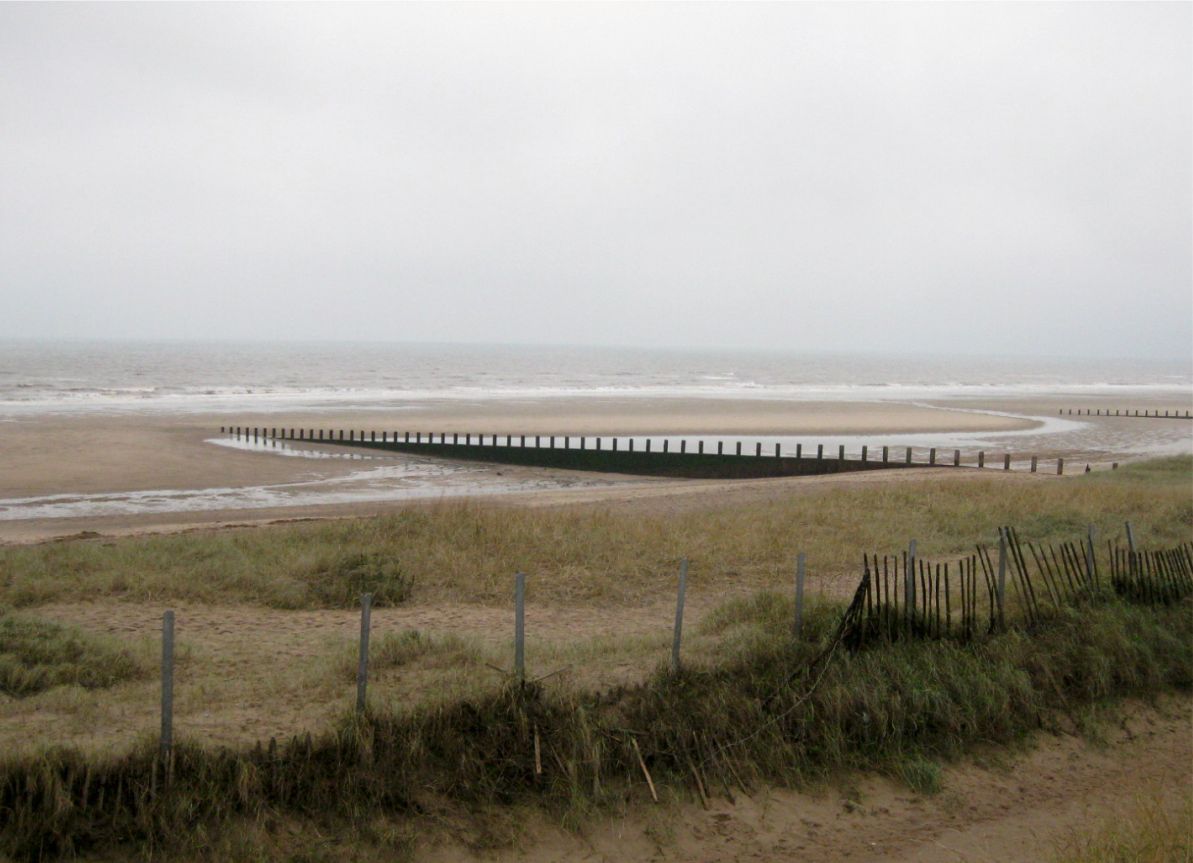
Rampion 2 Offshore Wind Farm
Arboriculture
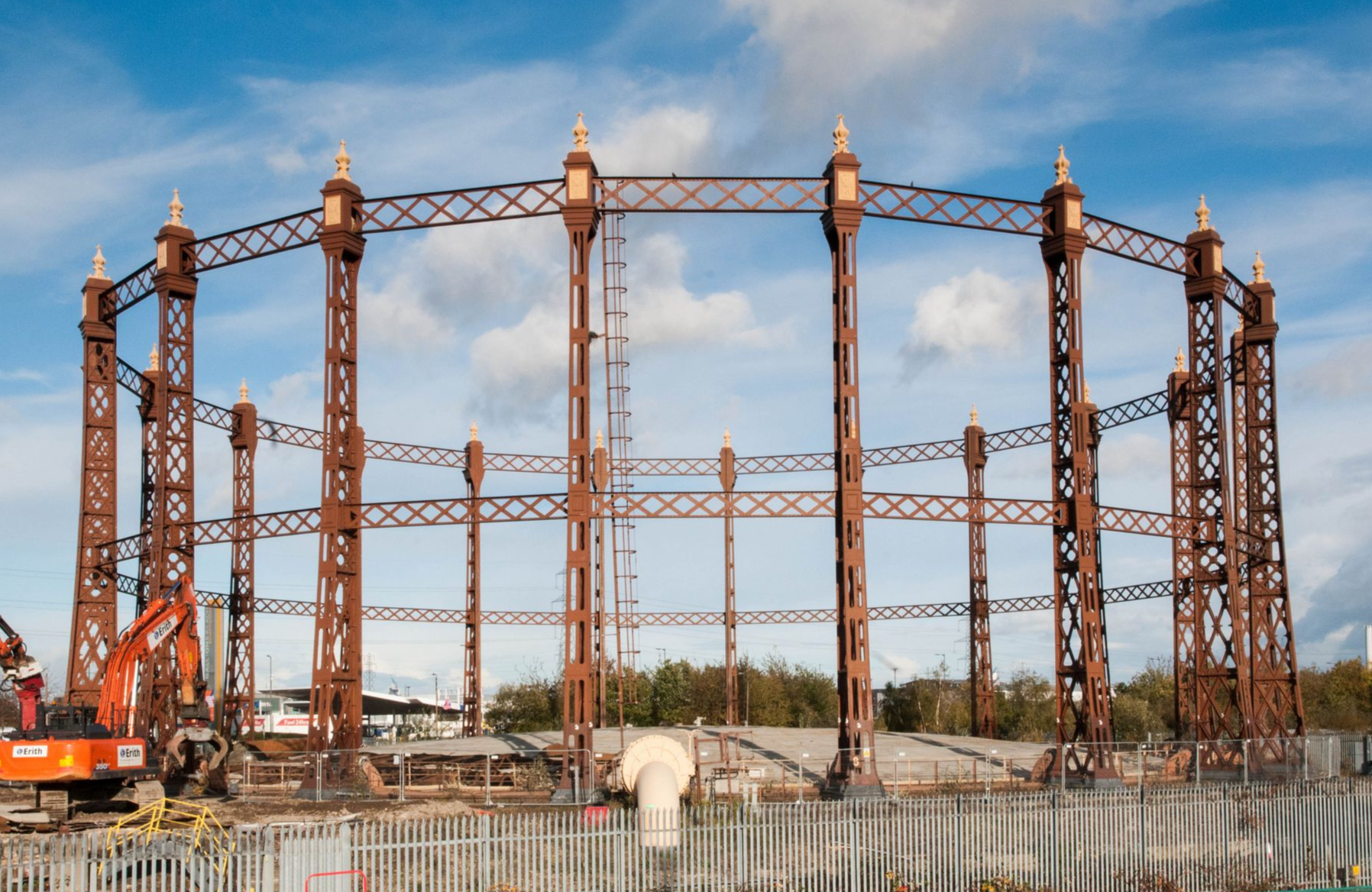
Beckton Gasworks, London
Historic Environment
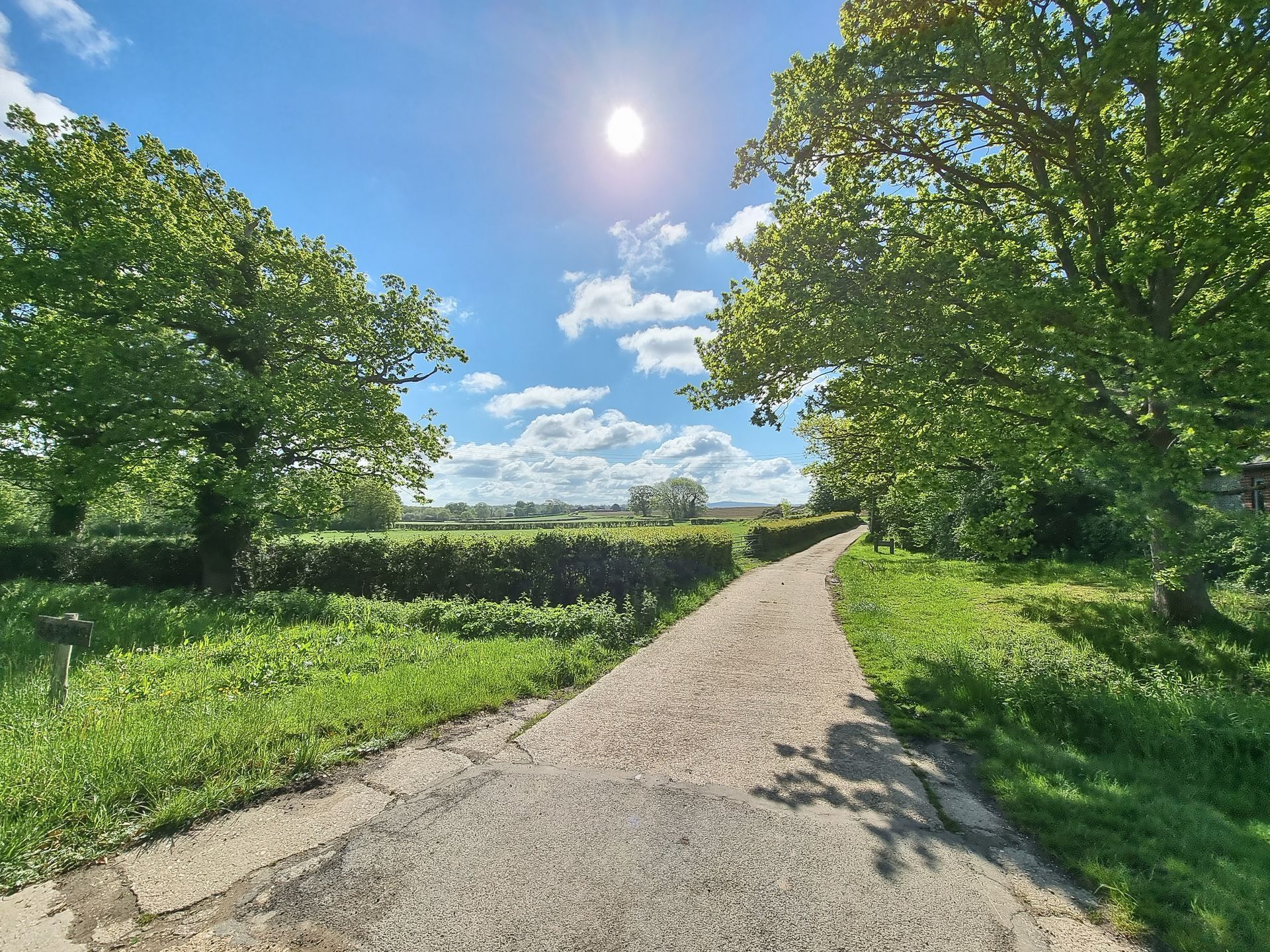
North Hykeham Relief Road
Historic Environment, Landscape Assessment, Planning and EIA, Ecology, Arboriculture, Landscape Design, Landscape and Estate Management
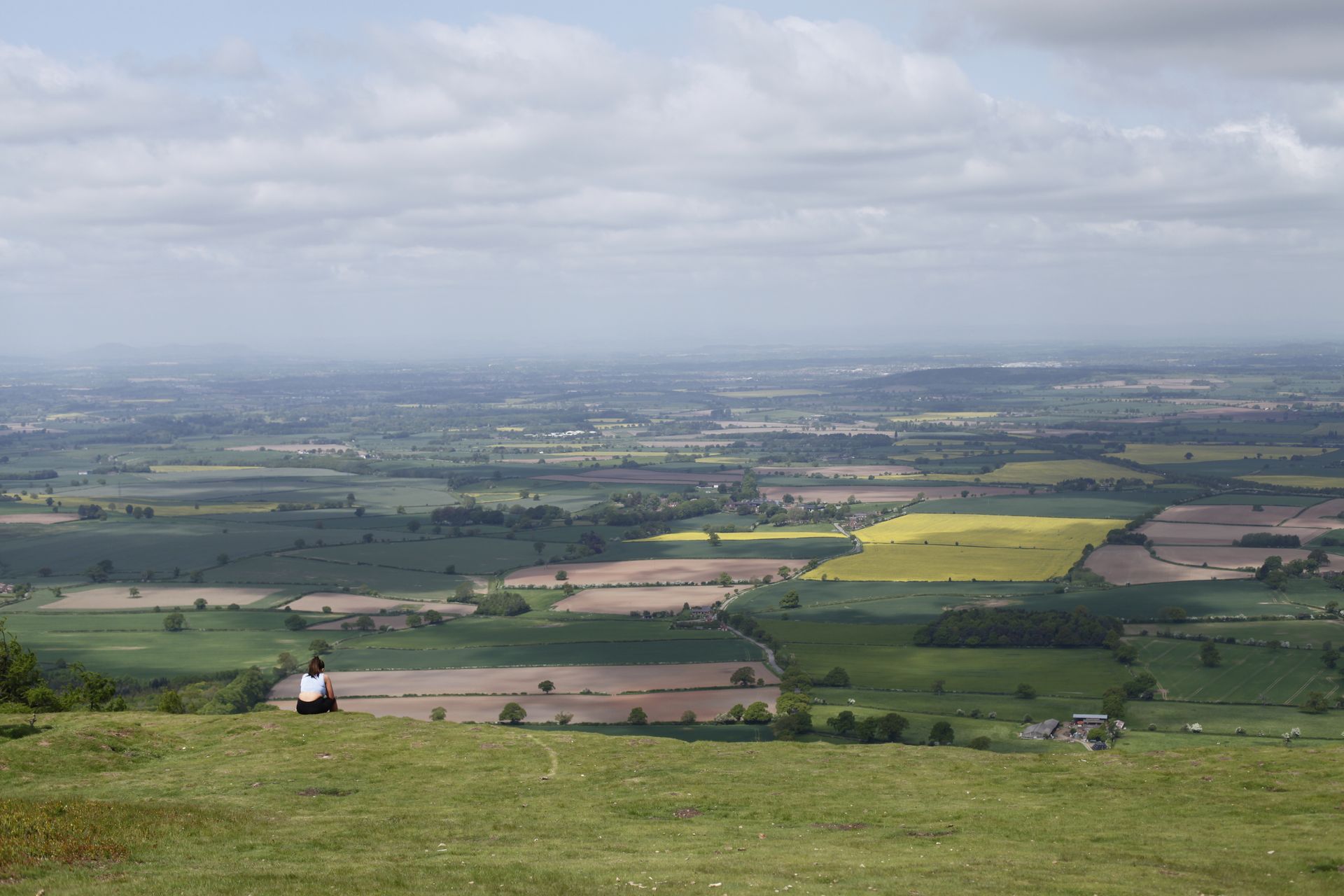
Telford Landscape Studies
Landscape Assessment
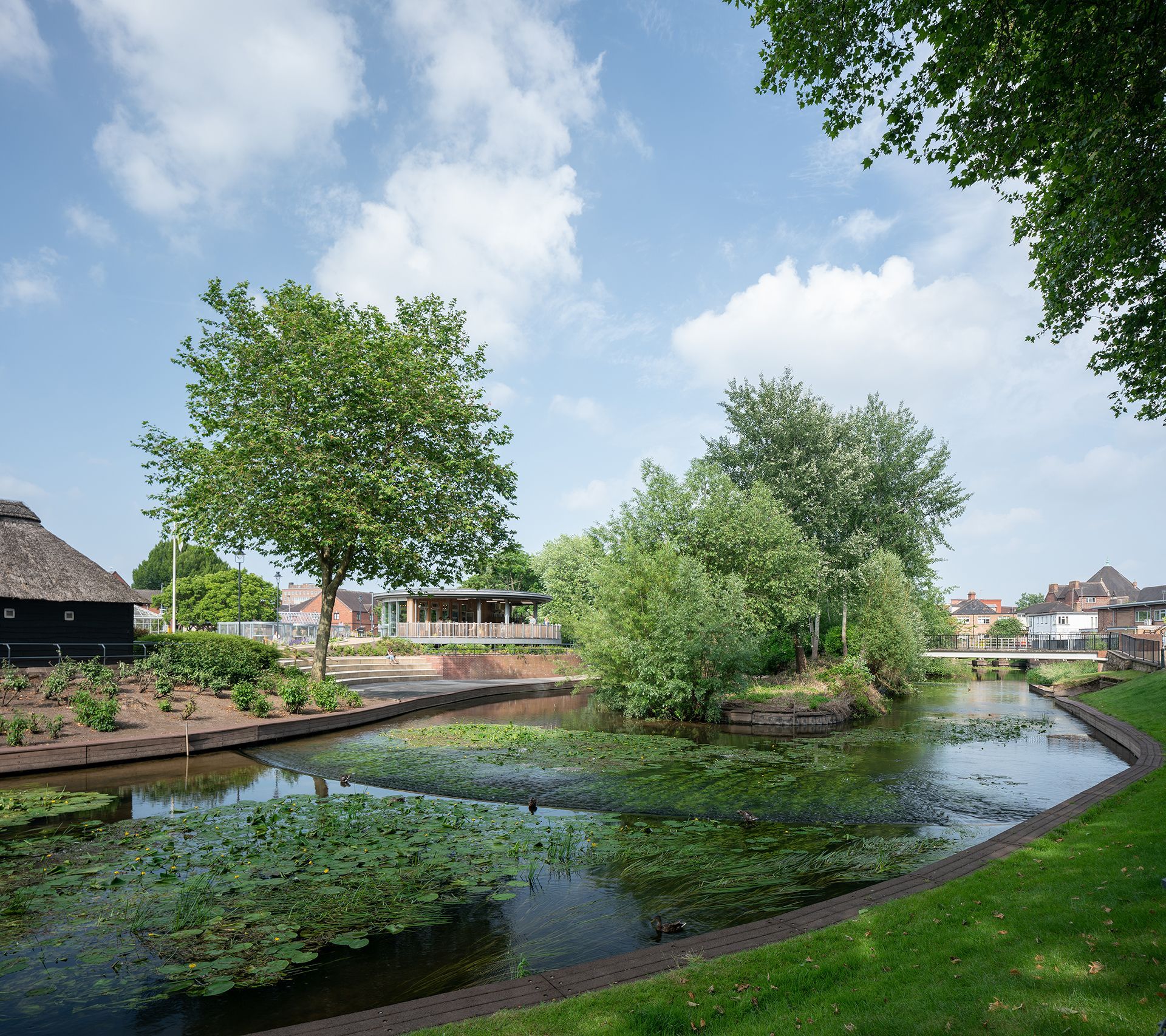
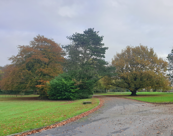
Victoria Park
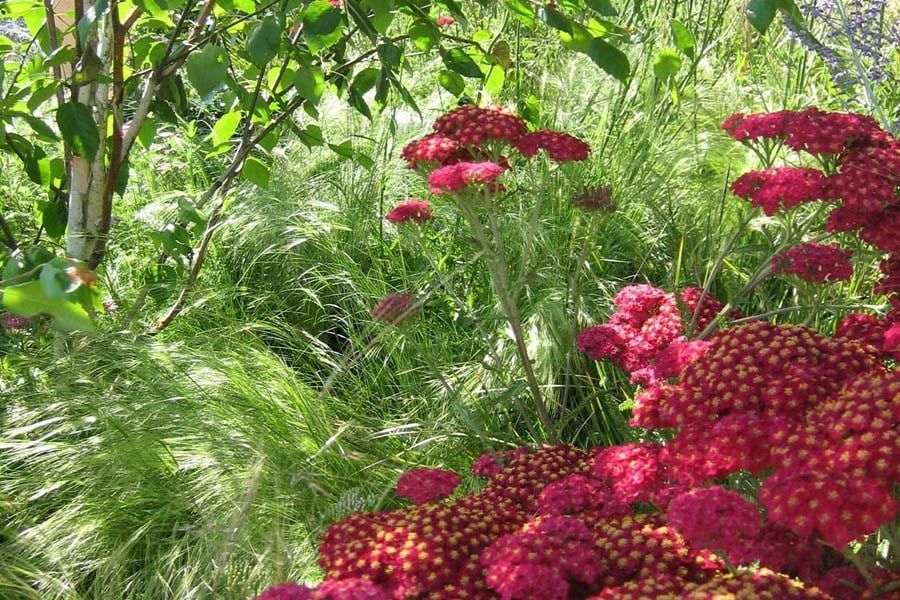
Landscape Design
Axbridge Road
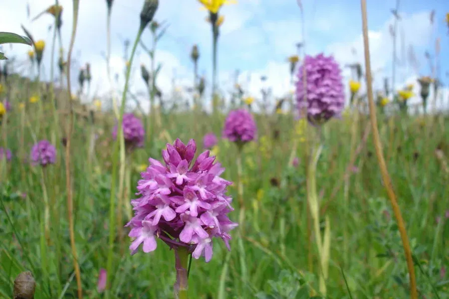
Ecology
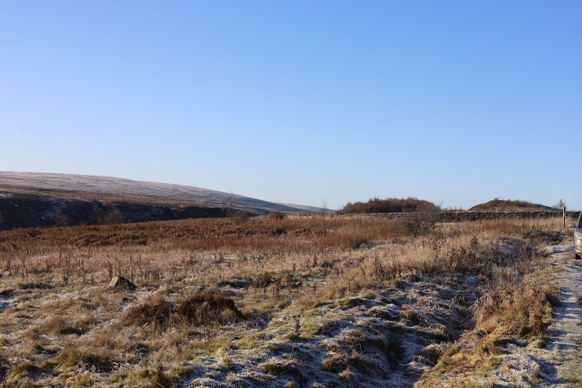
Blubberhouses Quarry
Planning and EIA, Landscape Assessment, Historic Environment, Ecology
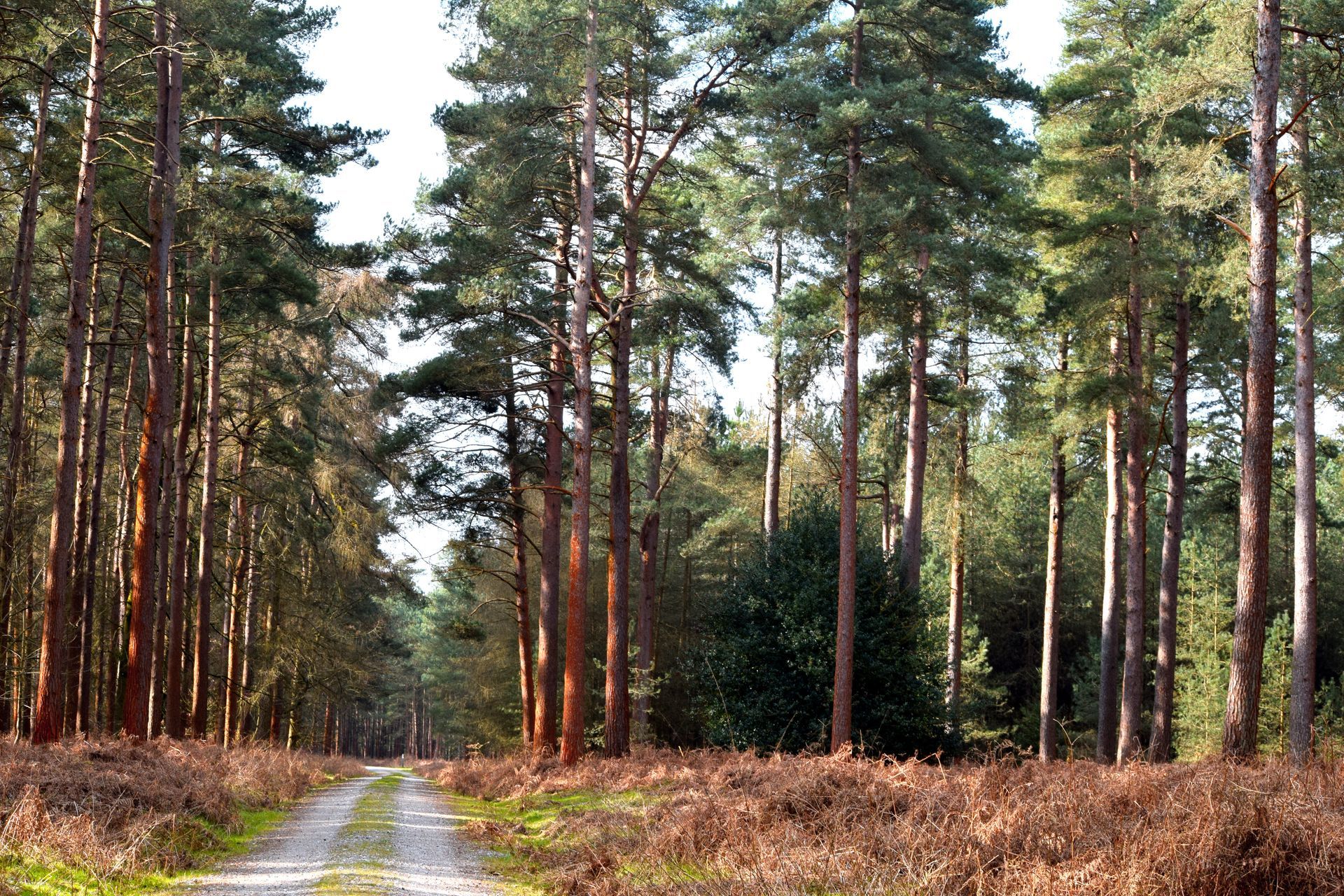
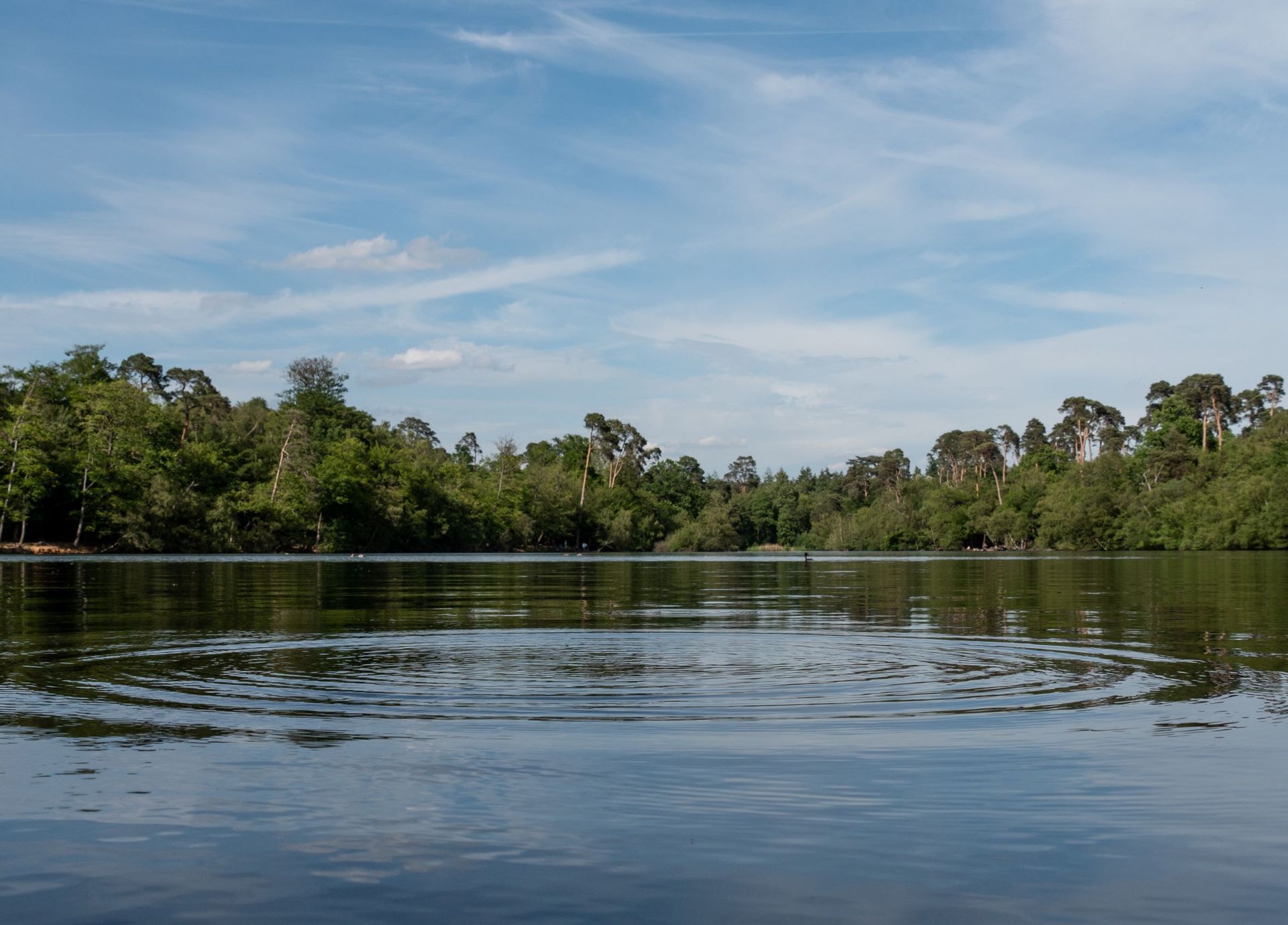
Thetford Forest
Landscape Strategy, Geospatial

Straws Hadley Solar Farm
Planning and EIA, Landscape Assessment, Landscape Design, Arboriculture, Historic Environment, Ecology
Whittingham Hospital
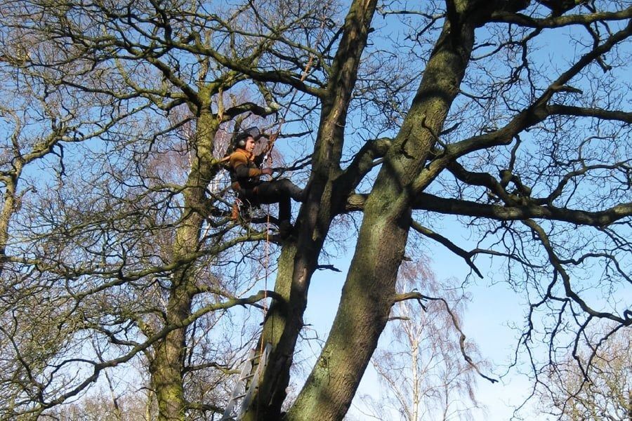
Arboriculture
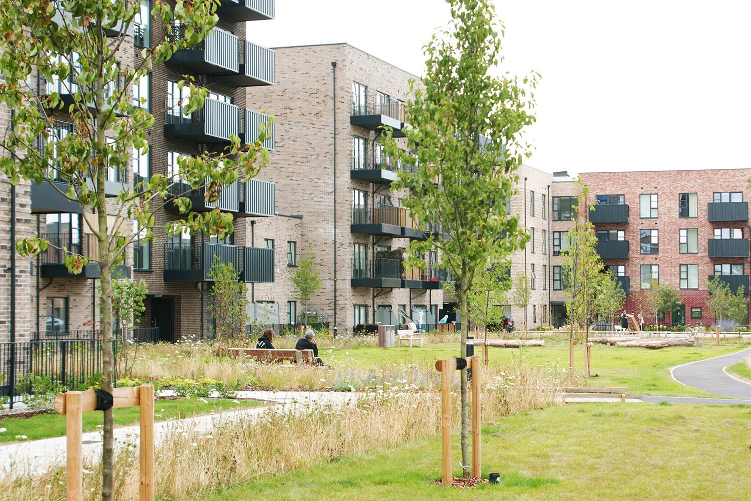
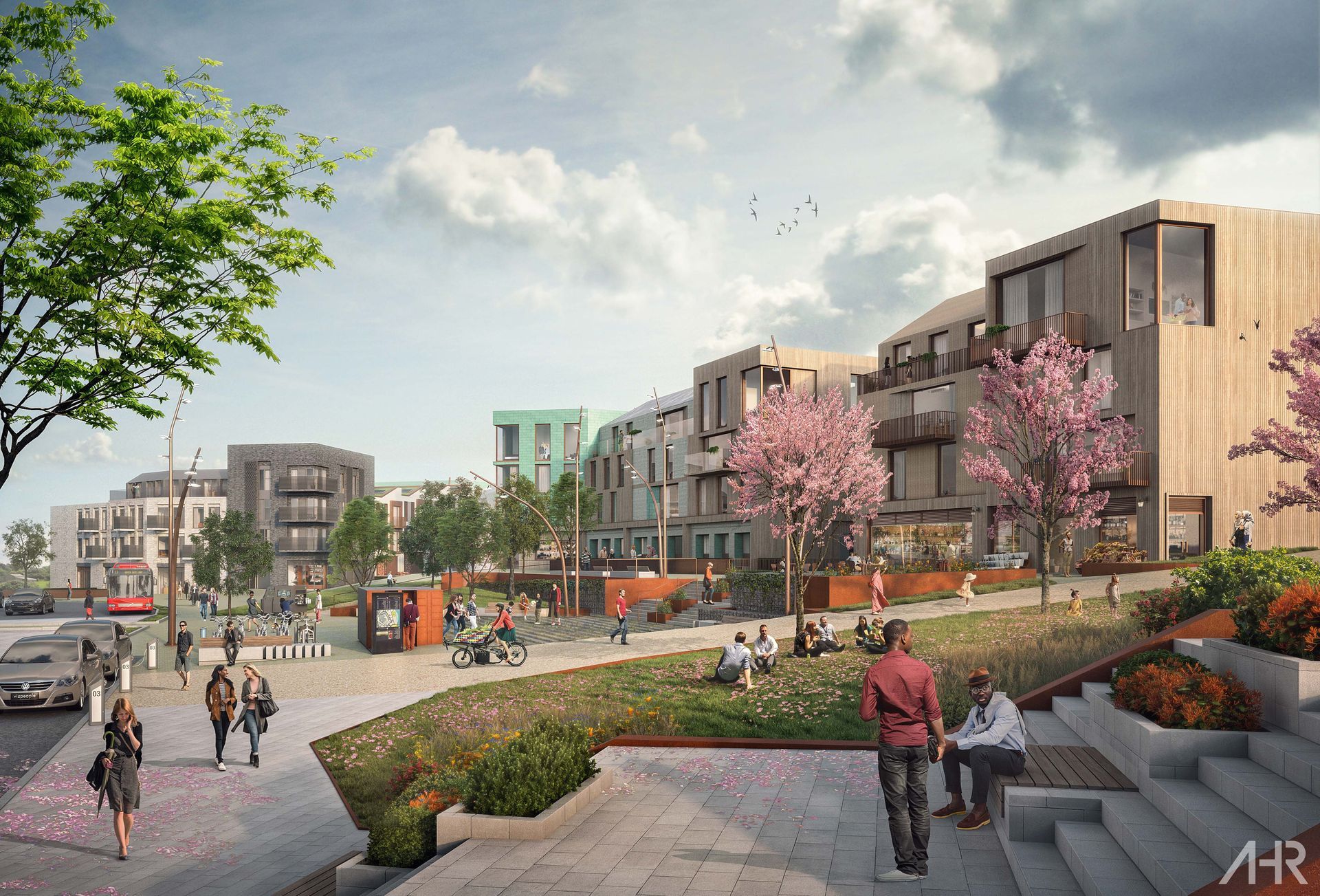
Cuerdale Garden Village
Arboriculture

Eden Project Morecambe
Landscape Assessment, Landscape Design, Ecology, Arboriculture
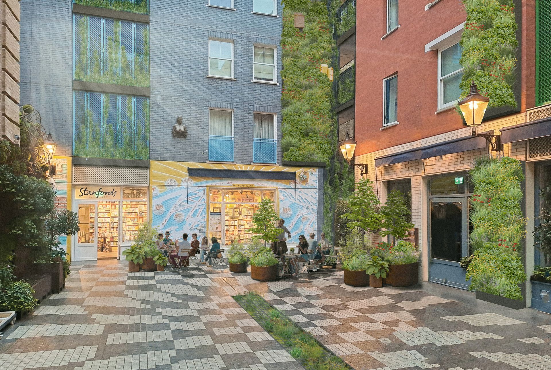
Covent Garden Urban Greening
Landscape Design, Ecohydrology
Black Park Management Plan
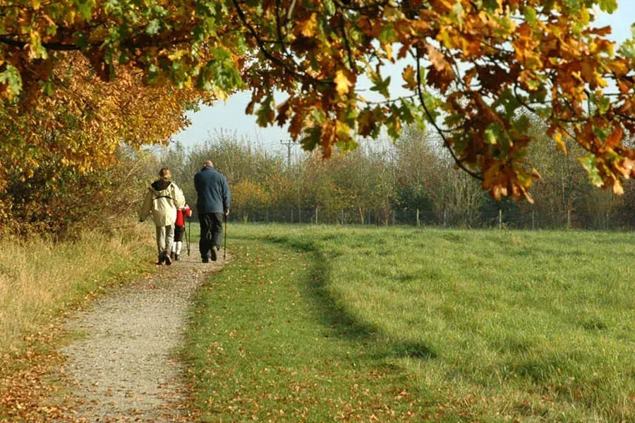
Landscape and Estate Management
Northern Roots
Arboriculture, Ecology, Landscape and Estate Management, Geospatial, Biodiversity Net Gain
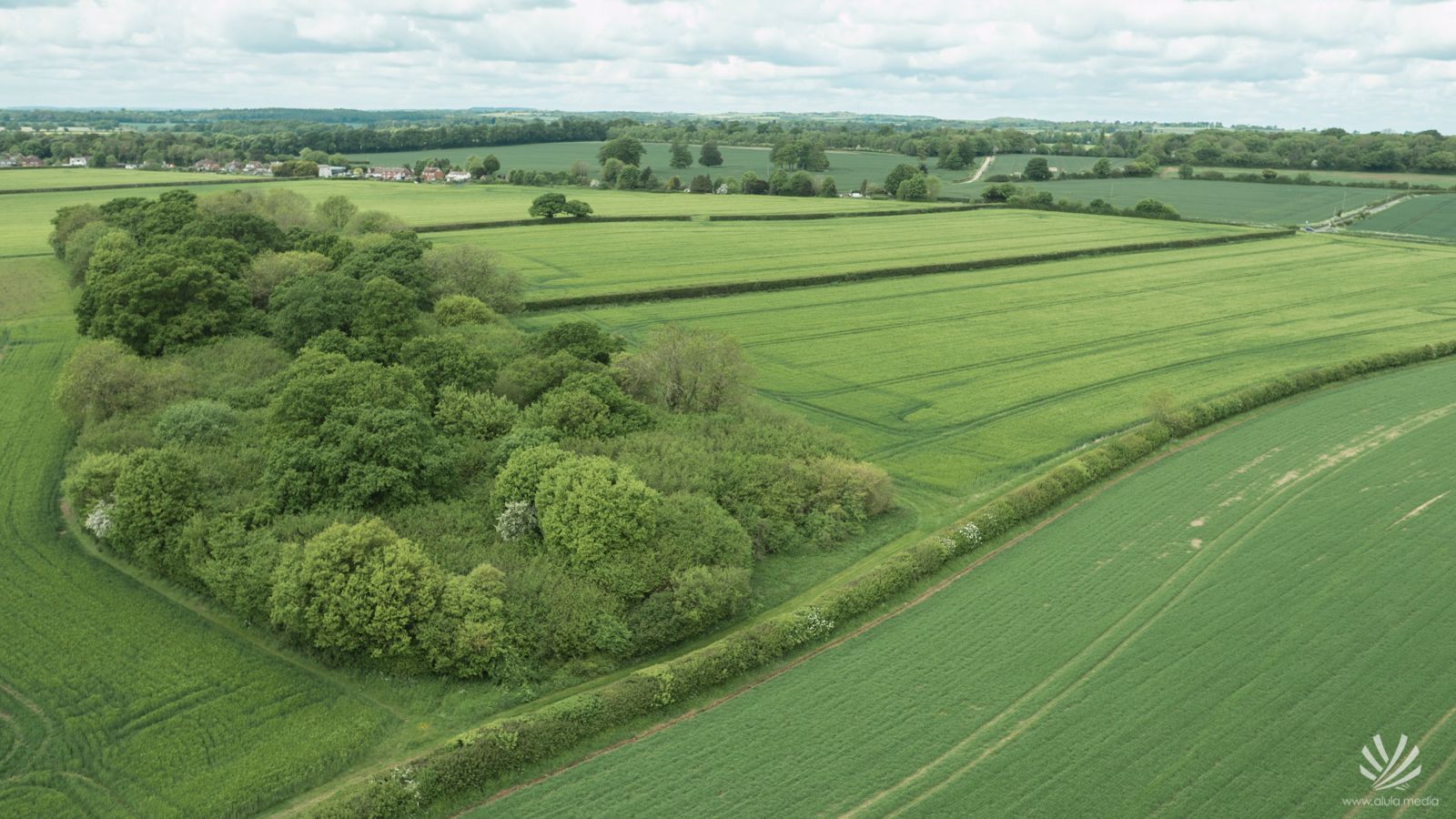
Harborough Green Wedge Assessment and Open Space Assessment
Landscape Assessment, Landscape and Estate Management
Chiswick House and Gardens
Arboriculture
Langley Park
Landscape and Estate Management, Landscape Strategy
Large-scale Ecological Monitoring for SSSI
Ecology
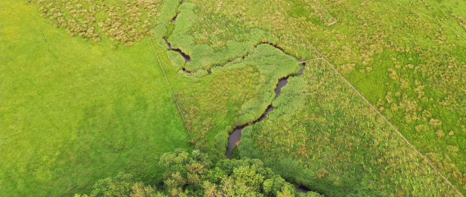
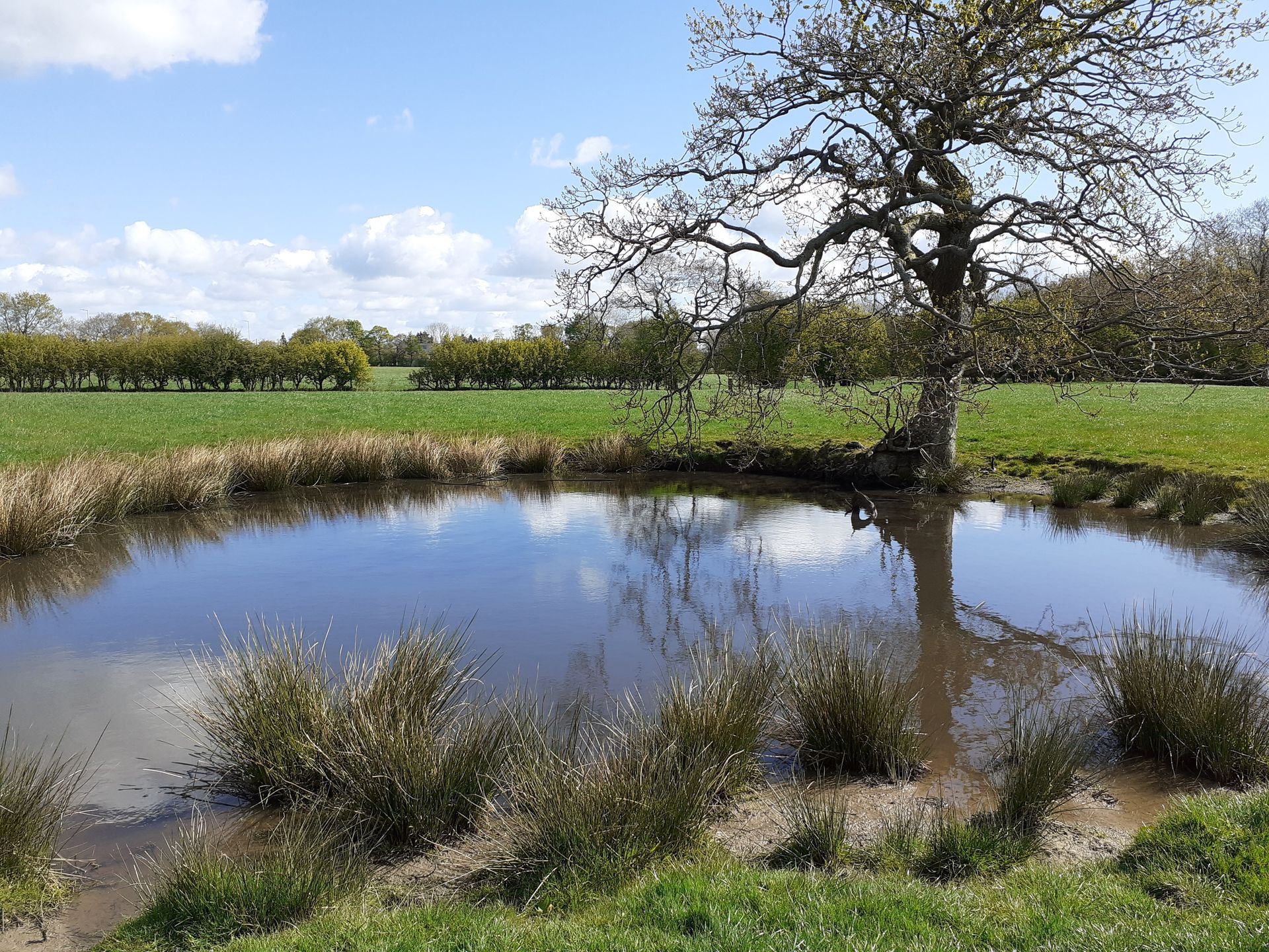
Lost Wetlands Nature Recovery Project
Ecohydology, Geospatial
Langarth Garden Village
Masterplanning
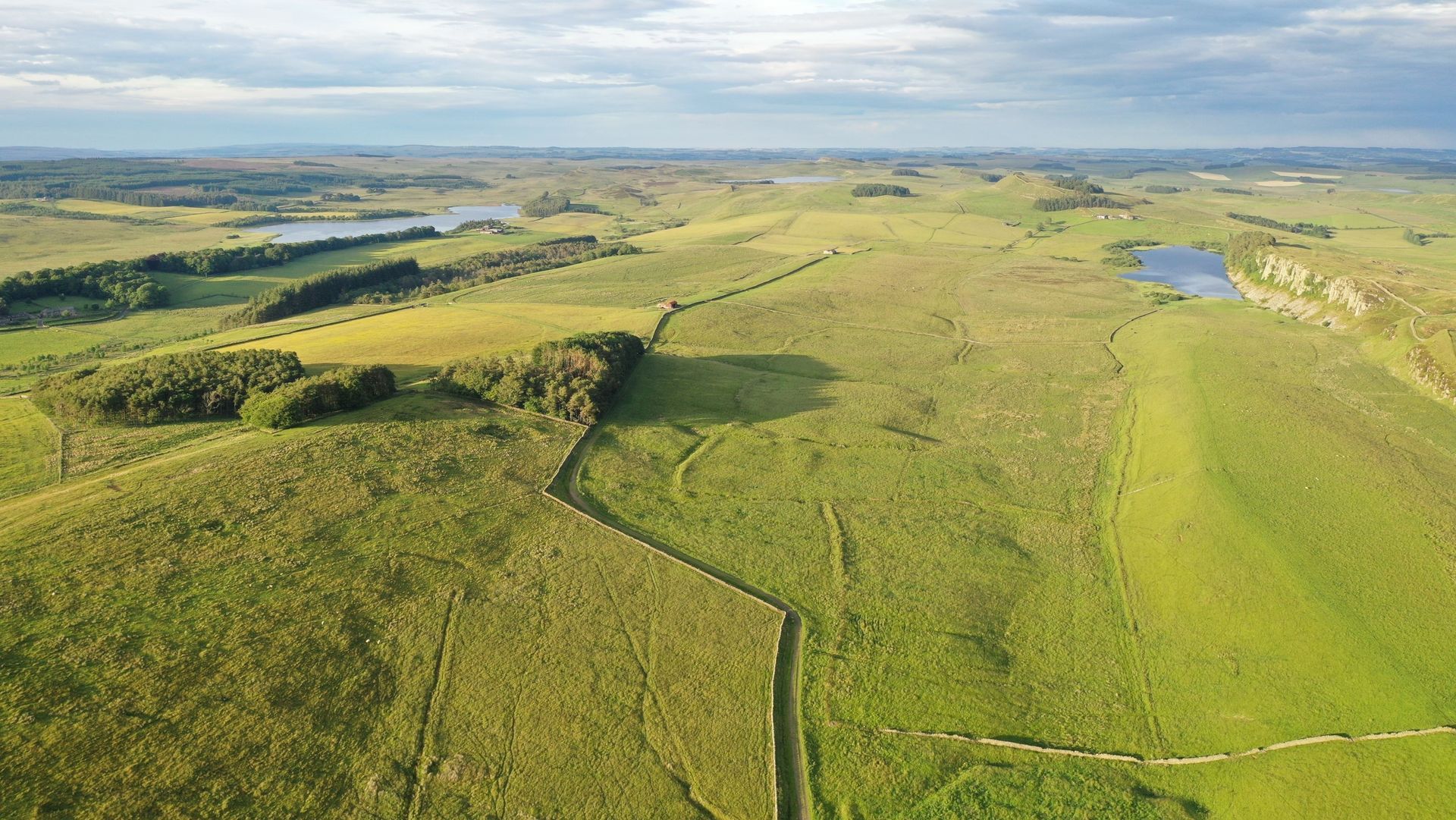
Hadrian's Wall Peat Survey
Ecohydrology

Swansea Opportunity Tree Mapping
Geospatial
Manydown
Masterplanning, Landscape Assessment, Ecology, Arboriculture, Historic Environment
Bromsgrove and Redditch BNG Assessment
Biodiversity Net Gain
Dewhirst Road Habitat Bank
Ecology, Landscape and Estate Management, Biodiversity Net Gain (BNG), Geospatial
Lyme Park Peat Mapping and Soil Survey
Ecohydrology, Geospatial, Carbon

Bellway Estate Feasibility Study
Ecology, Landscape and Estate Management, Biodiversity Net Gain, Geospatial
Lindow Moss
Ecohydrology, Geospatial, Carbon
North Kent National Nature Reserve
Landscape Strategy, Geospatial
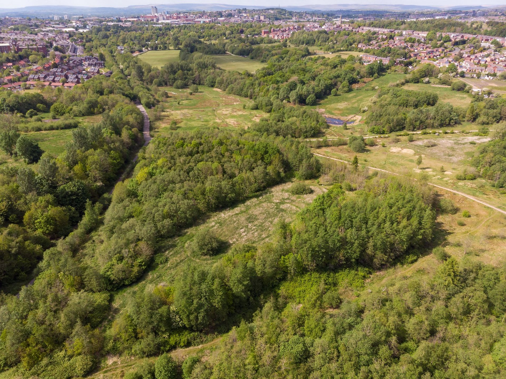
Greater Manchester Diffuse Pollution
Ecohydrology, Geospatial

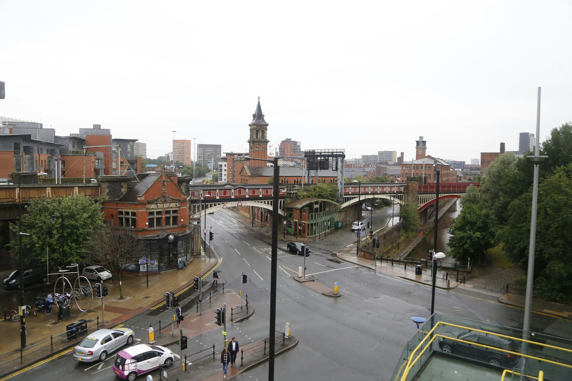
Teesworks Industrial Zone
Historic Environment
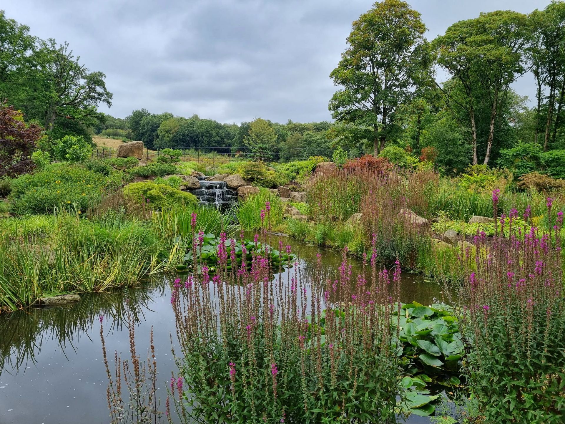
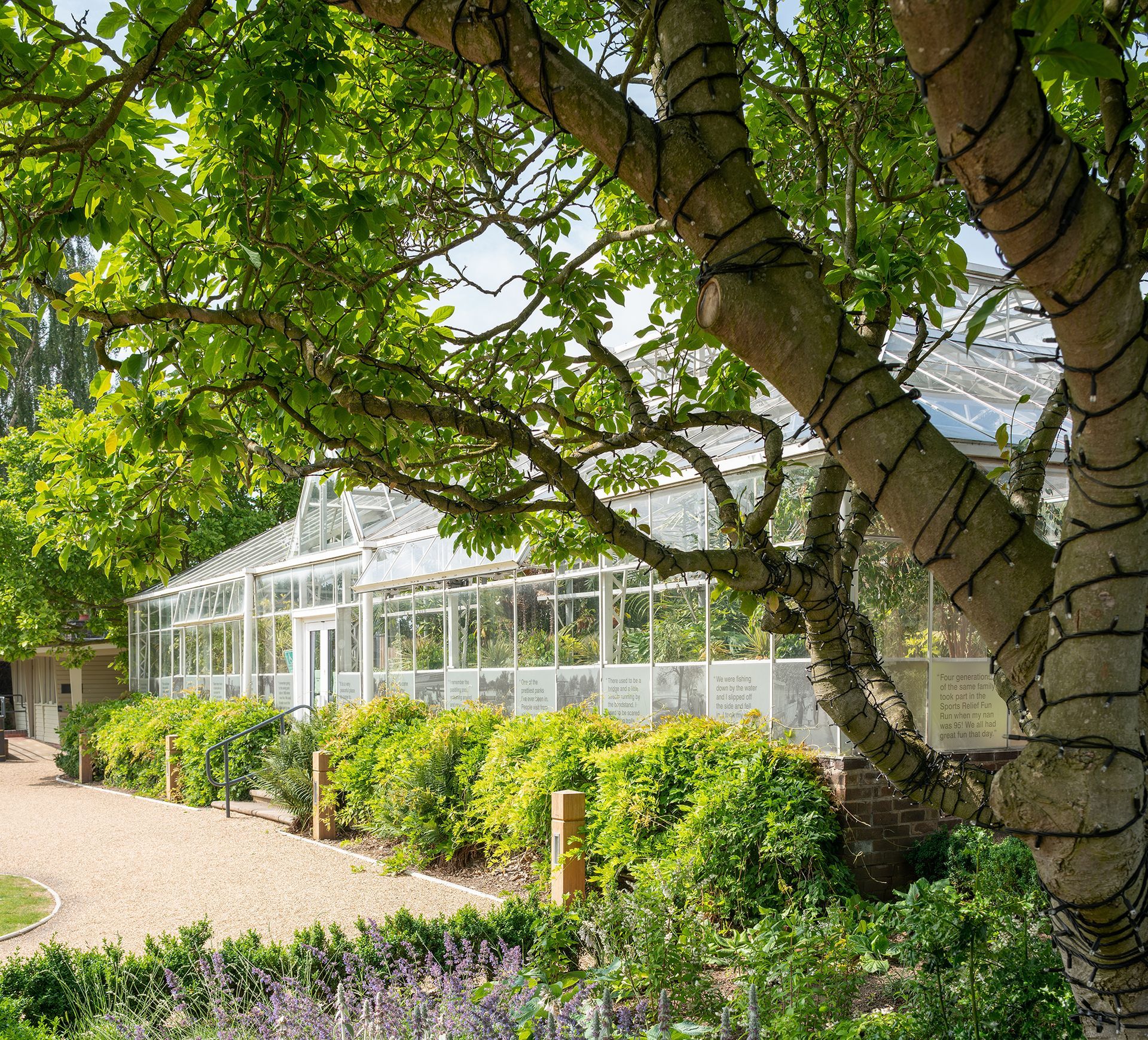
RHS Bridgewater
Landscape Assessment, Ecology
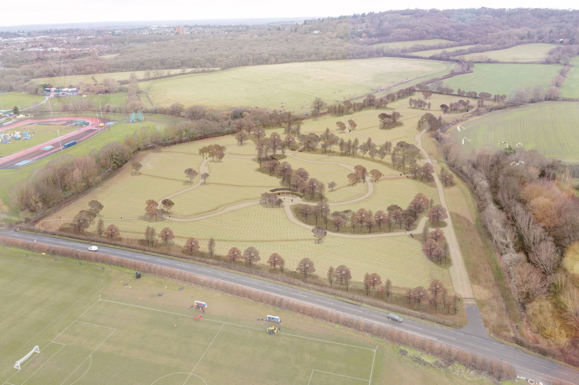
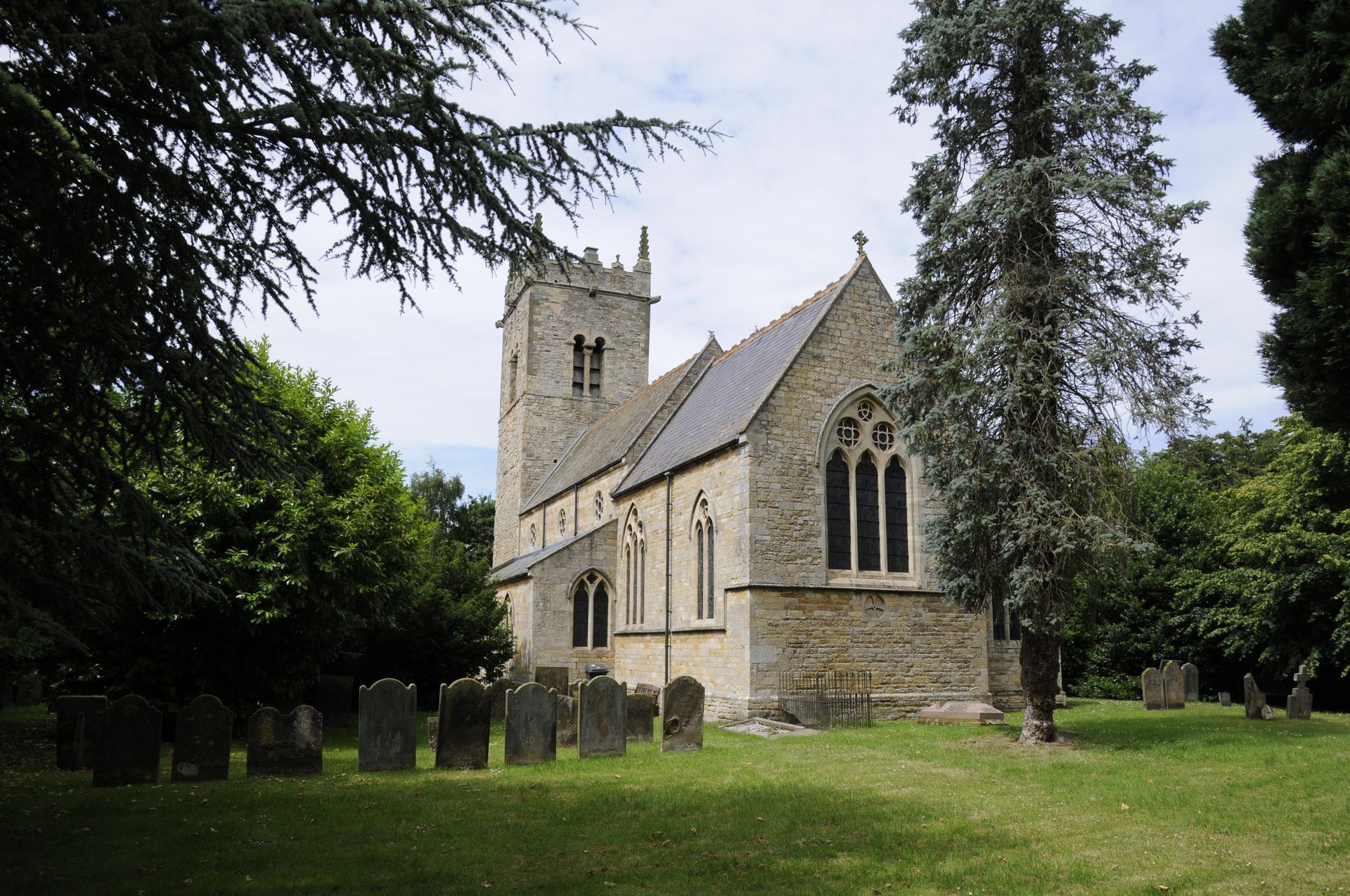
Oxford Burial Meadow
Historic Environment, Planning and EIA, Landscape Assessment, Landscape Design, Ecology
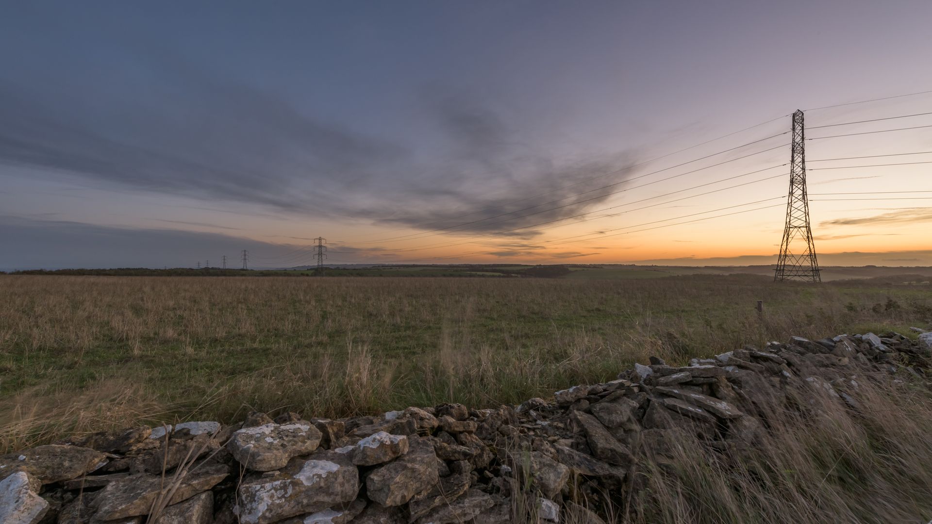
Viking Link
Planning and EIA