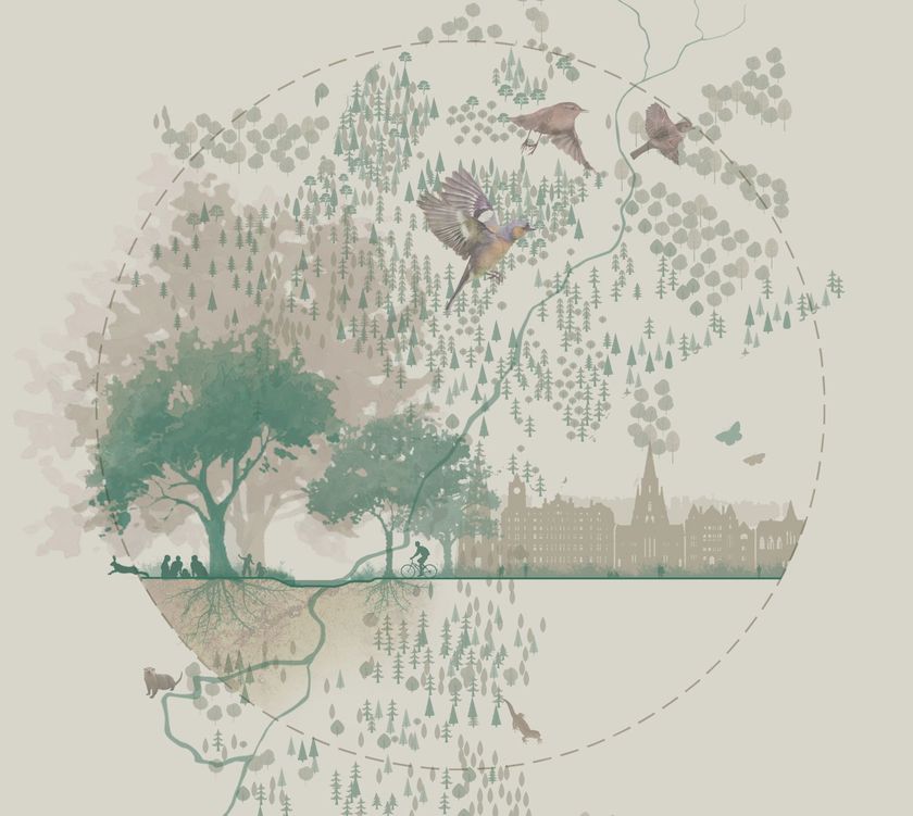


TEP is proud to be partnered with the award-winning initiative Time for Geograph y, whic h showcases the importance of geography and the diverse careers it can lead to. Time for Geography is a free, online education platform reaching schools and universities across the UK. Through a series of engaging video resources, it brings geography to life in the classroom, connecting academic learning with real-world challenges such as sustainability, climate change, urban planning and environmental management. Our contribution to the initiative forms part of the platform’s Careers Collection, where our team shares insight into the varied and rewarding pathways geography can open up. These resources are designed to help students understand how their studies translate into professional roles, offering a clearer view of the opportunities available within the environmental sector. We’re delighted that this collaboration has been recognised with a Highly Commended Geographical Association Publishers Award , which celebrates the careers-focused videos and resources developed to guide students towards further education and careers in our industry. With an audience of over 2.5 million this year, Time for Geography is a powerful example of how education and industry can come together to inspire future talent, showing how a subject studied in the classroom can lead to meaningful, real-world careers. For many of our colleagues at TEP, that journey began with a simple interest in geography at school. Today, that interest has grown into careers spanning ecology, arboriculture, heritage, planning, landscape design and environmental management. By sharing these experiences, we hope to encourage the next generation to see geography not only as a fascinating subject, but as a pathway into work that makes a tangible difference. We’re proud to support an initiative that is helping shape the future talent pipeline for our sector, and to inspire the environmental specialists of tomorrow. Learn more and watch our video:
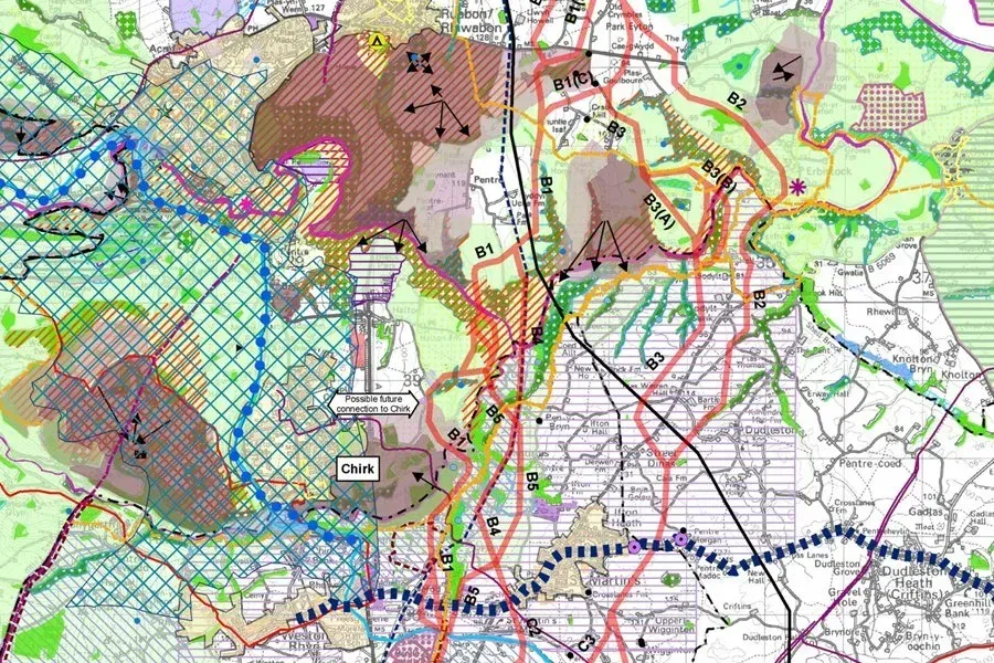
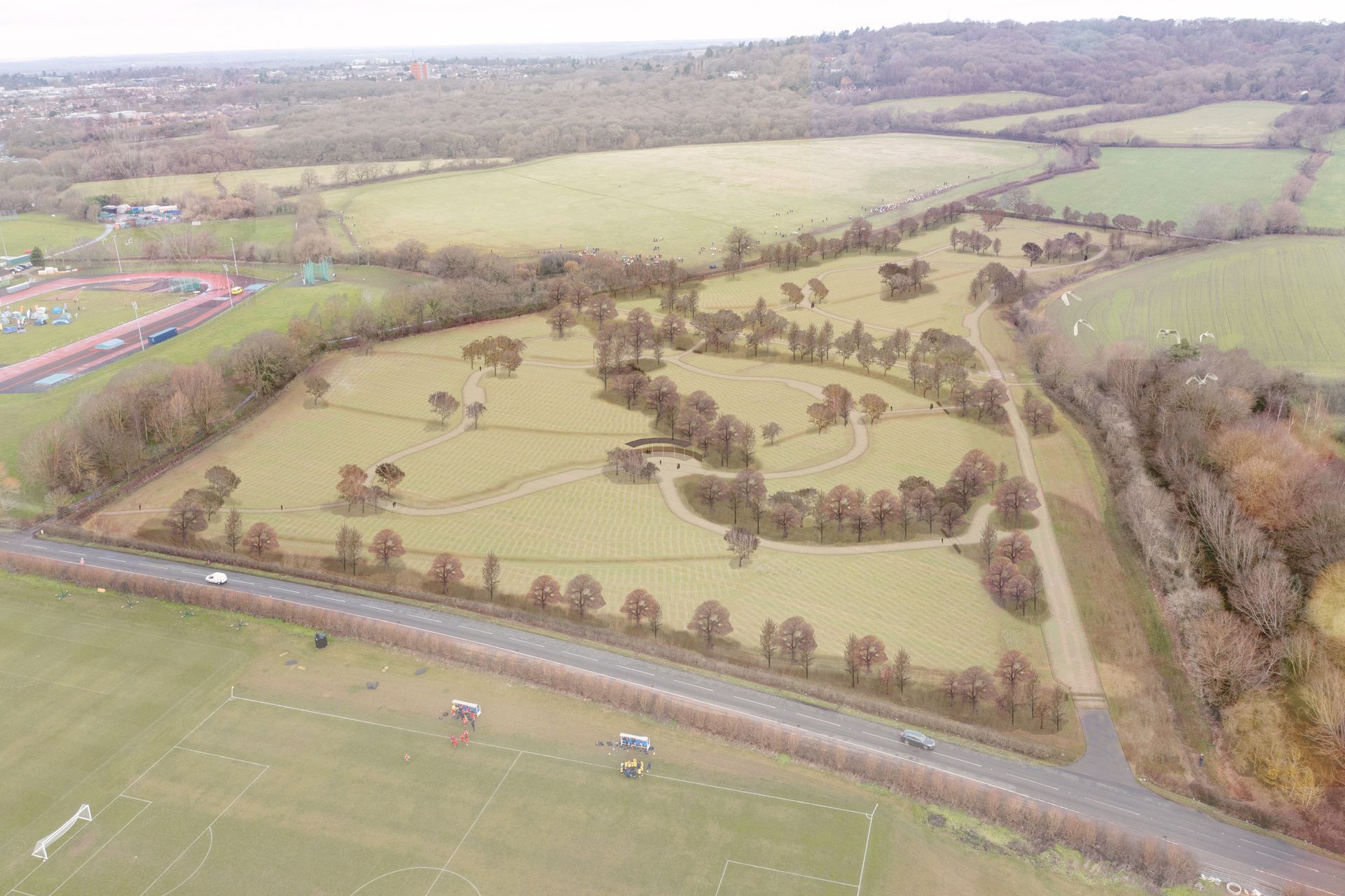
Changes to the Planning Inspectorate’s Procedural Guide will update how planning appeals are handled in England for applications submitted after 1st April 2026.

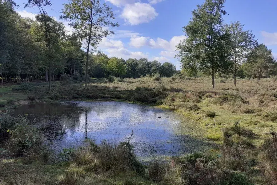
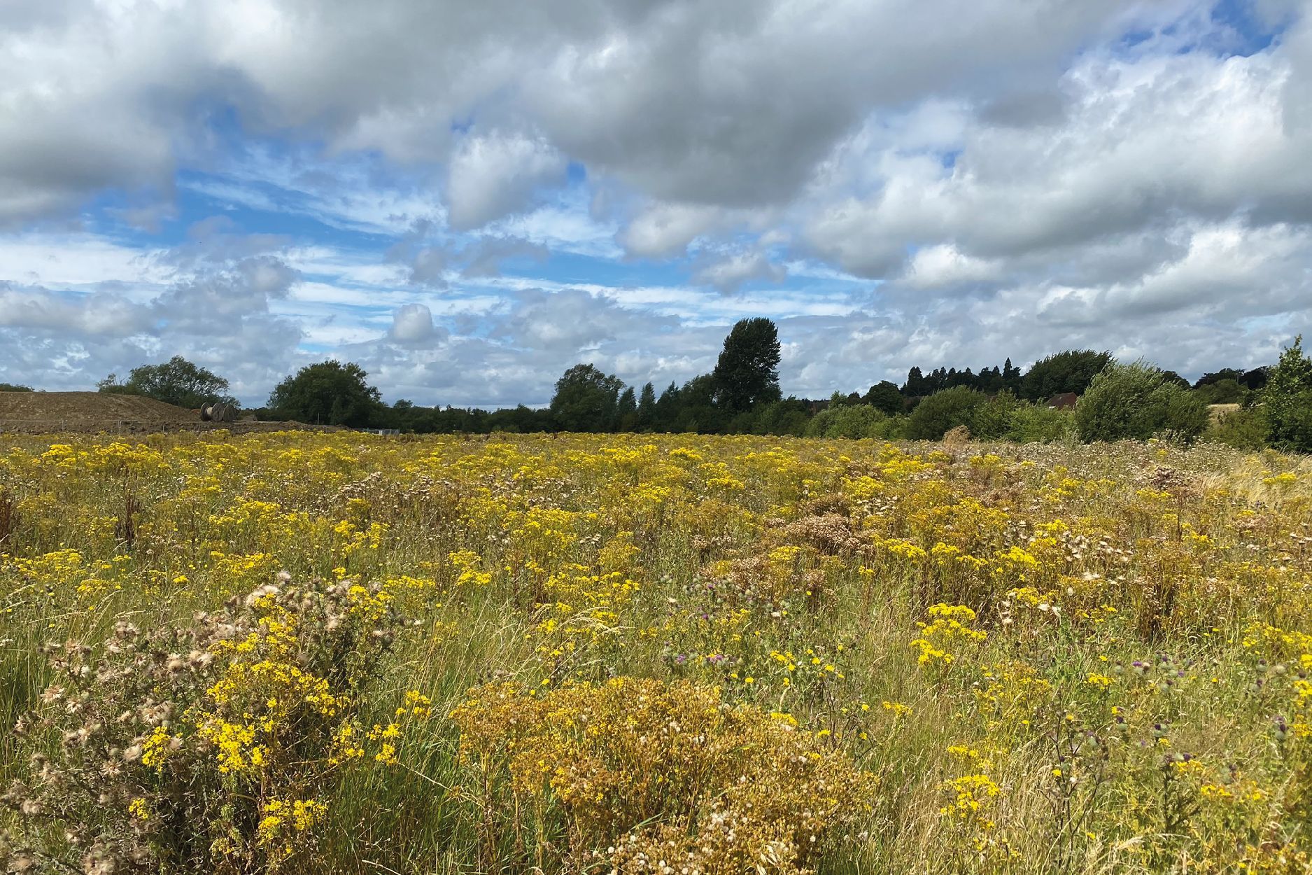
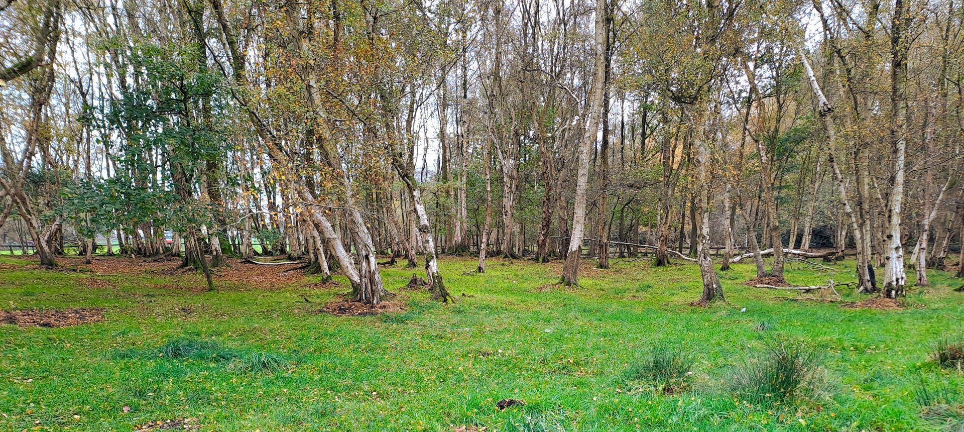
TEP was commissioned by Natural England to carry out a detailed chalk scrub study across the Seven Sisters National Nature Reserve.
TEP is proud to be partnered with the award-winning initiative Time for Geograph y, whic h showcases the importance of geography and the diverse careers it can lead to. Time for Geography is a free, online education platform reaching schools and universities across the UK. Through a series of engaging video resources, it brings geography to life in the classroom, connecting academic learning with real-world challenges such as sustainability, climate change, urban planning and environmental management. Our contribution to the initiative forms part of the platform’s Careers Collection, where our team shares insight into the varied and rewarding pathways geography can open up. These resources are designed to help students understand how their studies translate into professional roles, offering a clearer view of the opportunities available within the environmental sector. We’re delighted that this collaboration has been recognised with a Highly Commended Geographical Association Publishers Award , which celebrates the careers-focused videos and resources developed to guide students towards further education and careers in our industry. With an audience of over 2.5 million this year, Time for Geography is a powerful example of how education and industry can come together to inspire future talent, showing how a subject studied in the classroom can lead to meaningful, real-world careers. For many of our colleagues at TEP, that journey began with a simple interest in geography at school. Today, that interest has grown into careers spanning ecology, arboriculture, heritage, planning, landscape design and environmental management. By sharing these experiences, we hope to encourage the next generation to see geography not only as a fascinating subject, but as a pathway into work that makes a tangible difference. We’re proud to support an initiative that is helping shape the future talent pipeline for our sector, and to inspire the environmental specialists of tomorrow. Learn more and watch our video:
Changes to the Planning Inspectorate’s Procedural Guide will update how planning appeals are handled in England for applications submitted after 1st April 2026.
TEP was commissioned by Natural England to carry out a detailed chalk scrub study across the Seven Sisters National Nature Reserve.
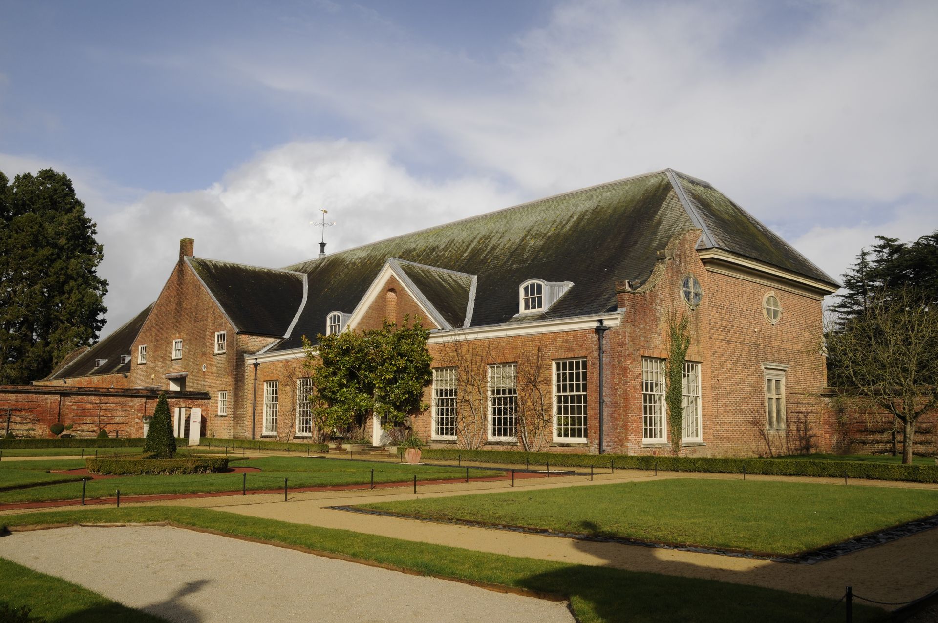
Tredegar House
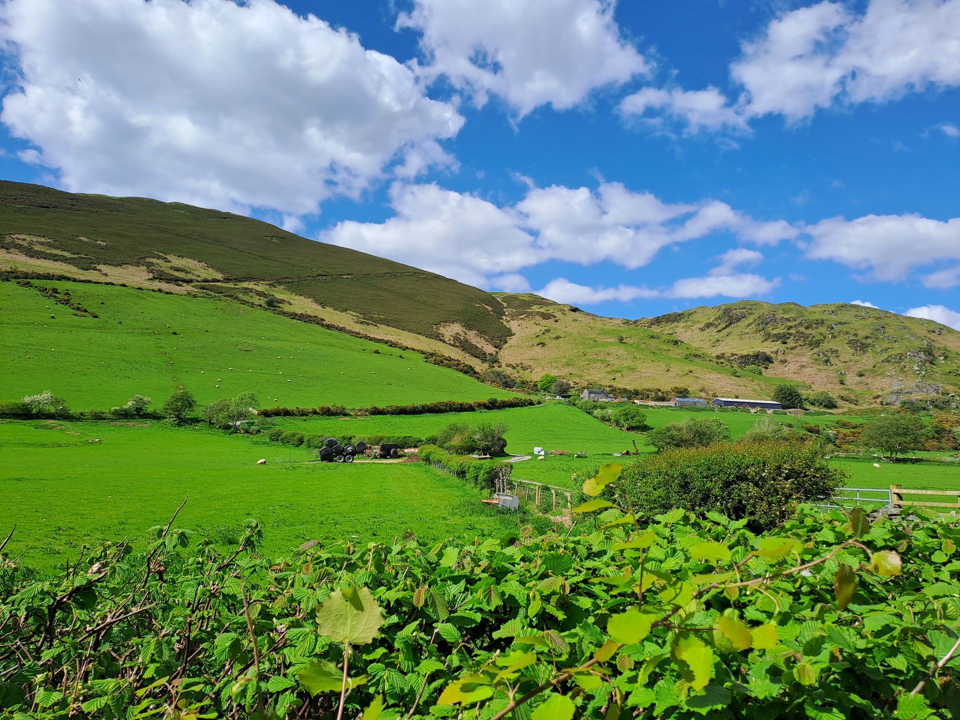
Tywyn Pipeline Replacement
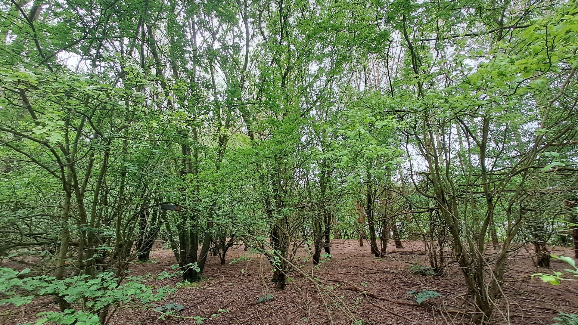
Timber Works
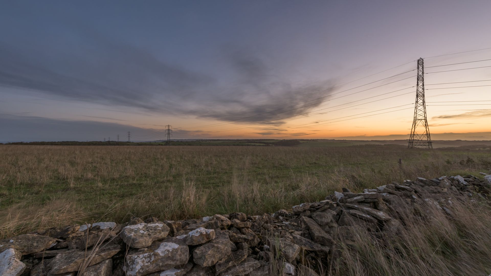
Cotswolds Visual Impact Provision
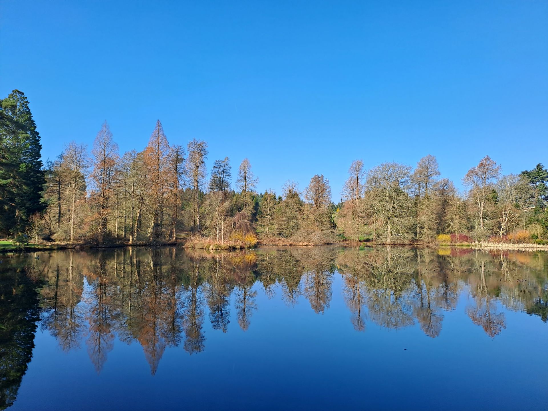
Bedgebury National Pinetum
Rampion 2 Offshore Wind Farm

Beckton Gasworks, London
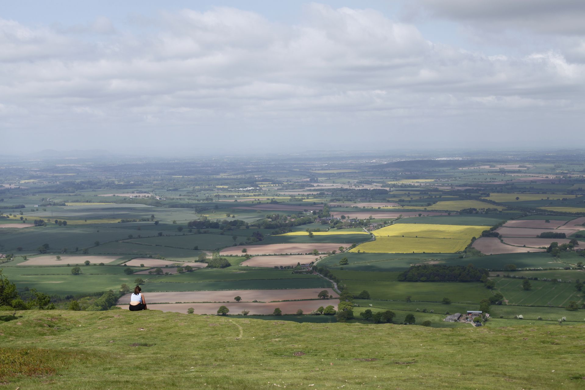
Telford Landscape Studies
Axbridge Road
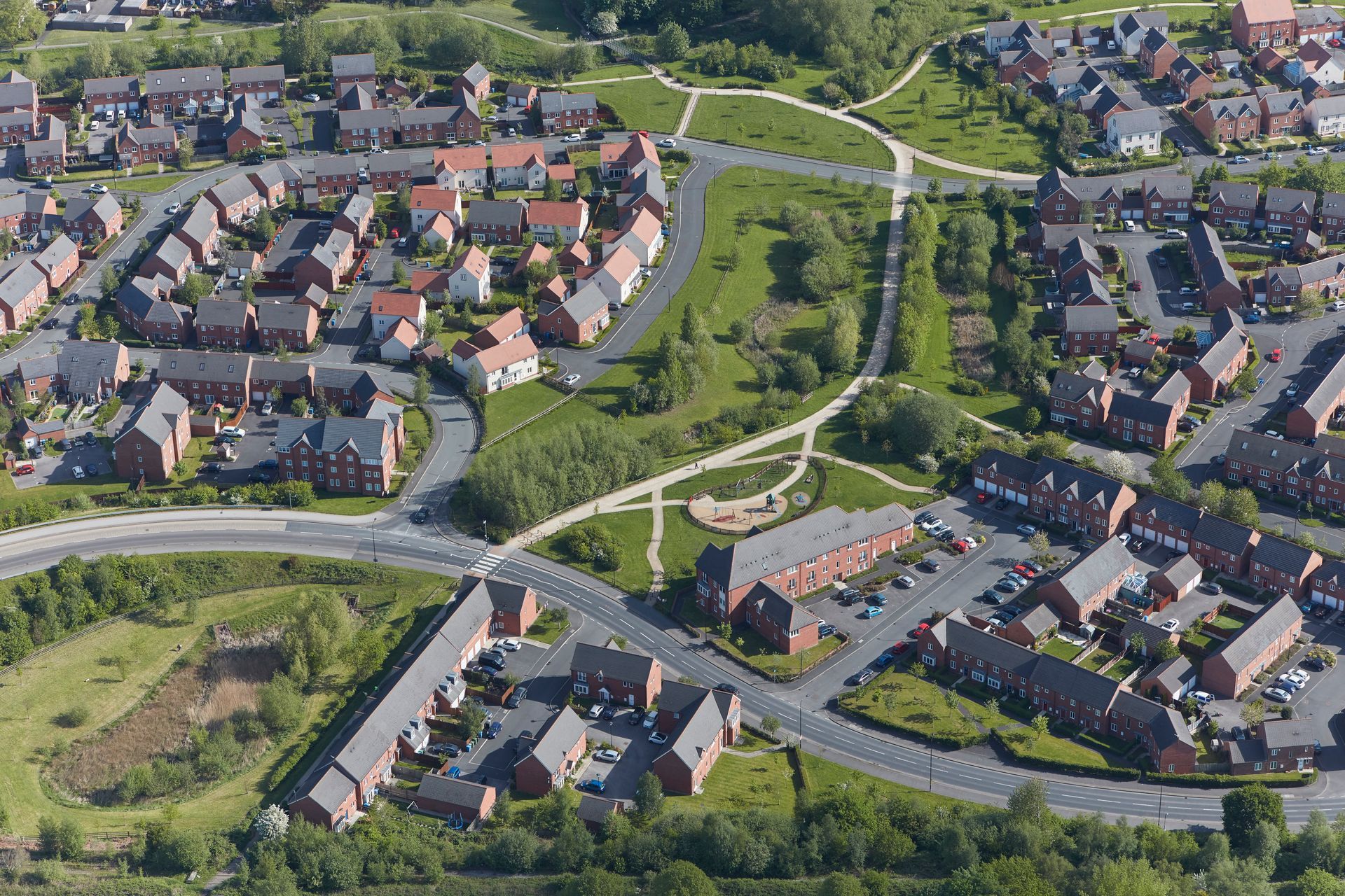
North Hykeham Relief Road
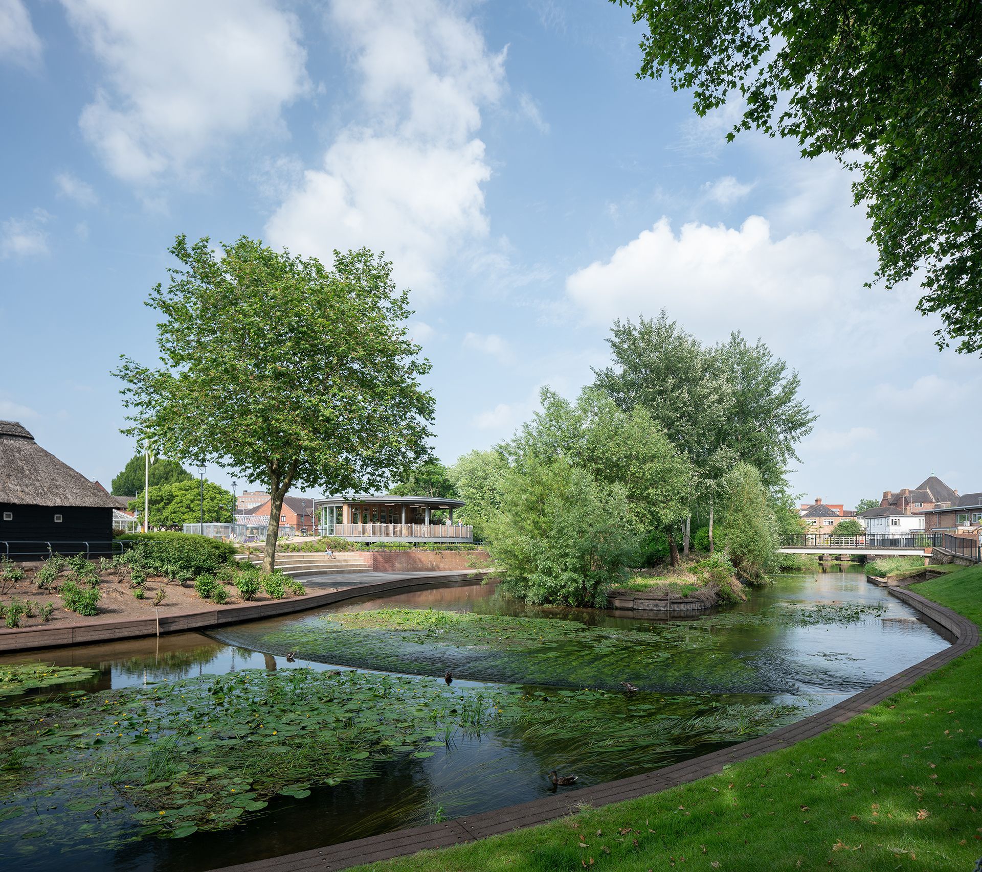
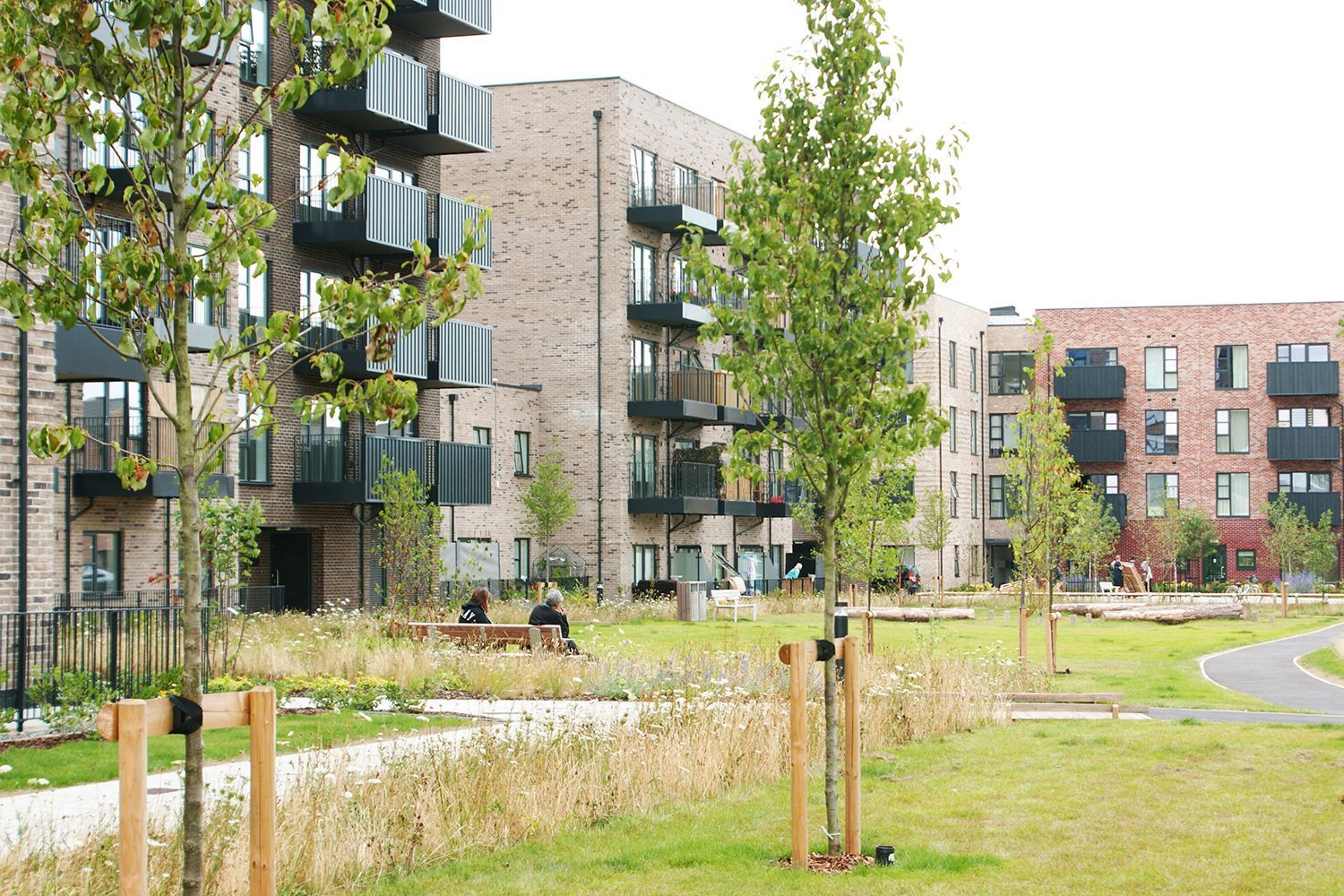
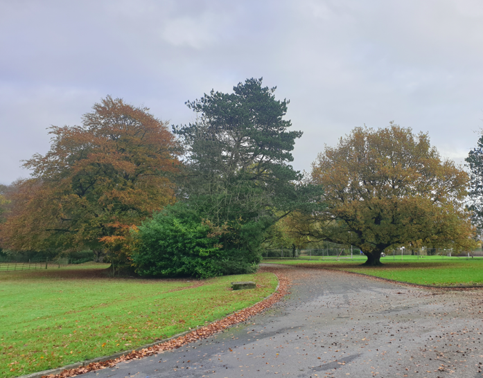
Victoria Park
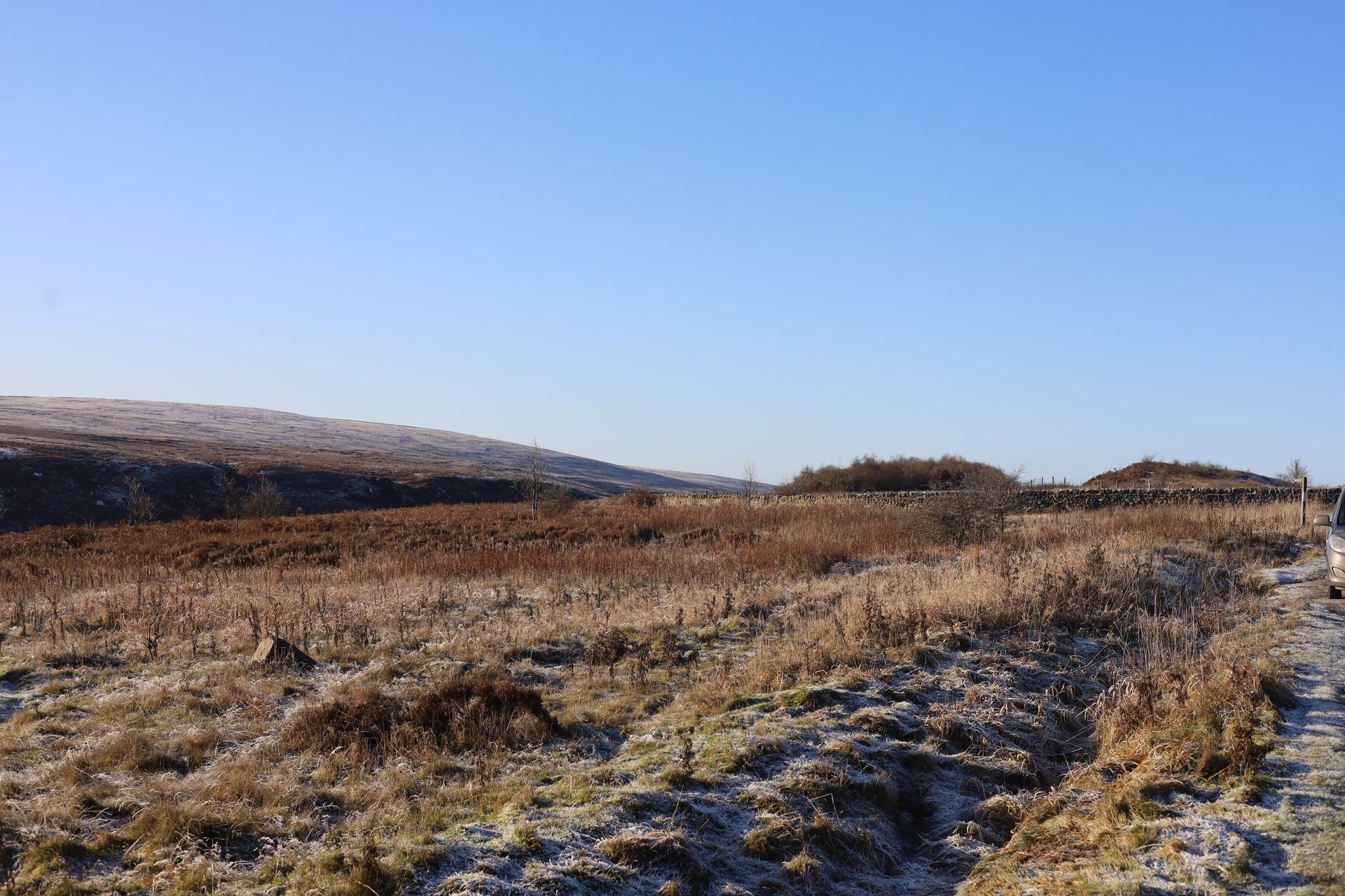
Blubberhouses Quarry
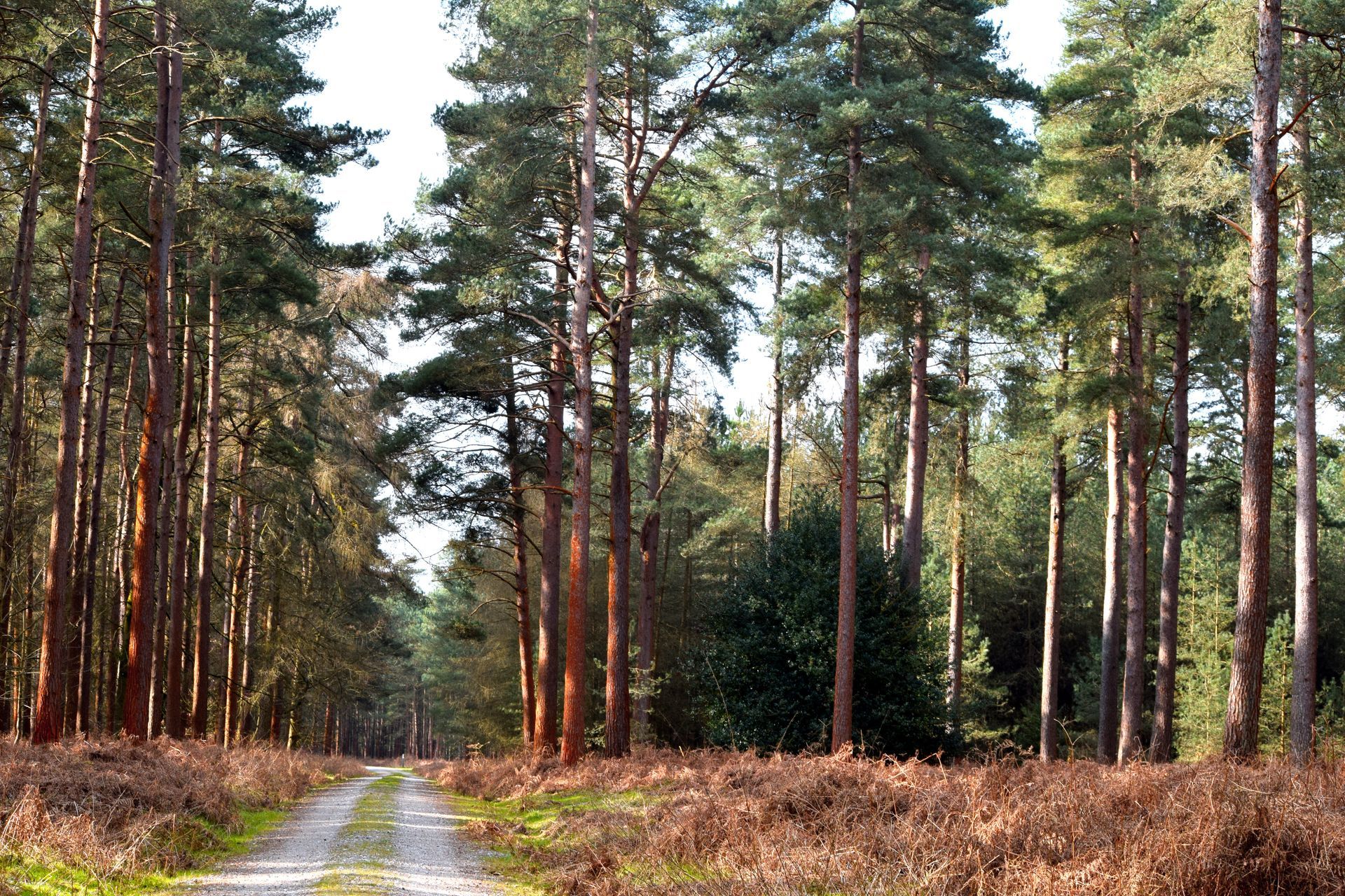
Thetford Forest
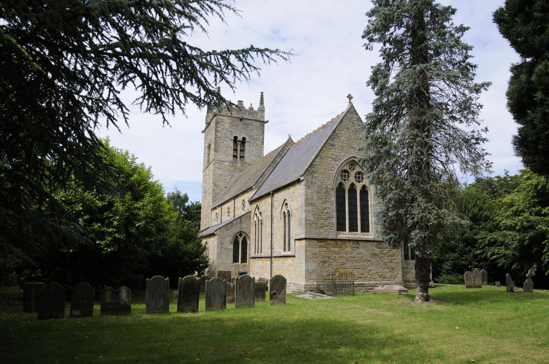
Whittingham Hospital

Eden Project Morecambe

Straws Hadley Solar Farm
Cuerdale Garden Village

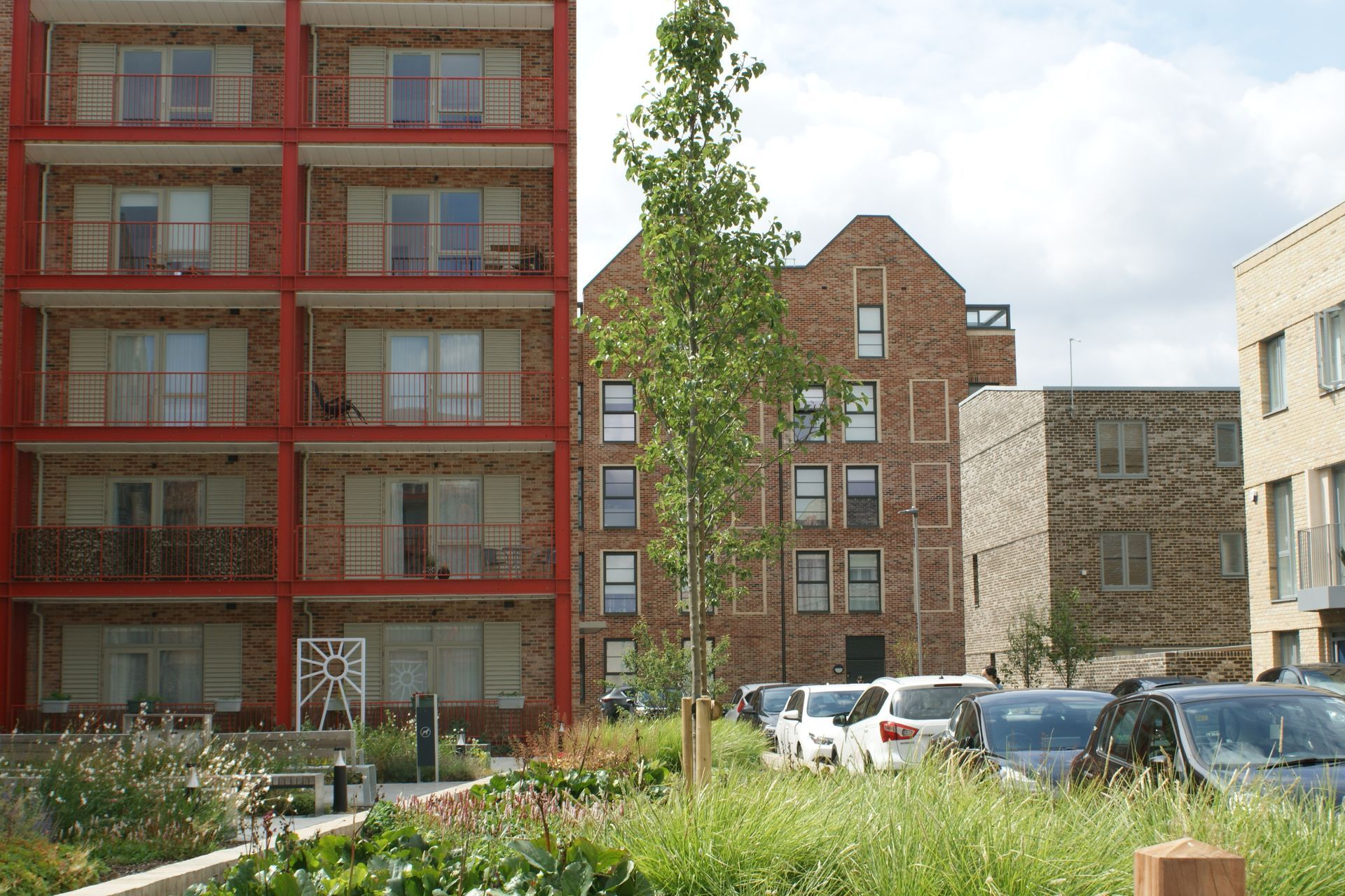
Covent Garden Urban Greening
Black Park Management Plan
Harborough Green Wedge Assessment and Open Space Assessment
Langley Park
Northern Roots
Chiswick House and Gardens
Large-scale Ecological Monitoring for SSSI
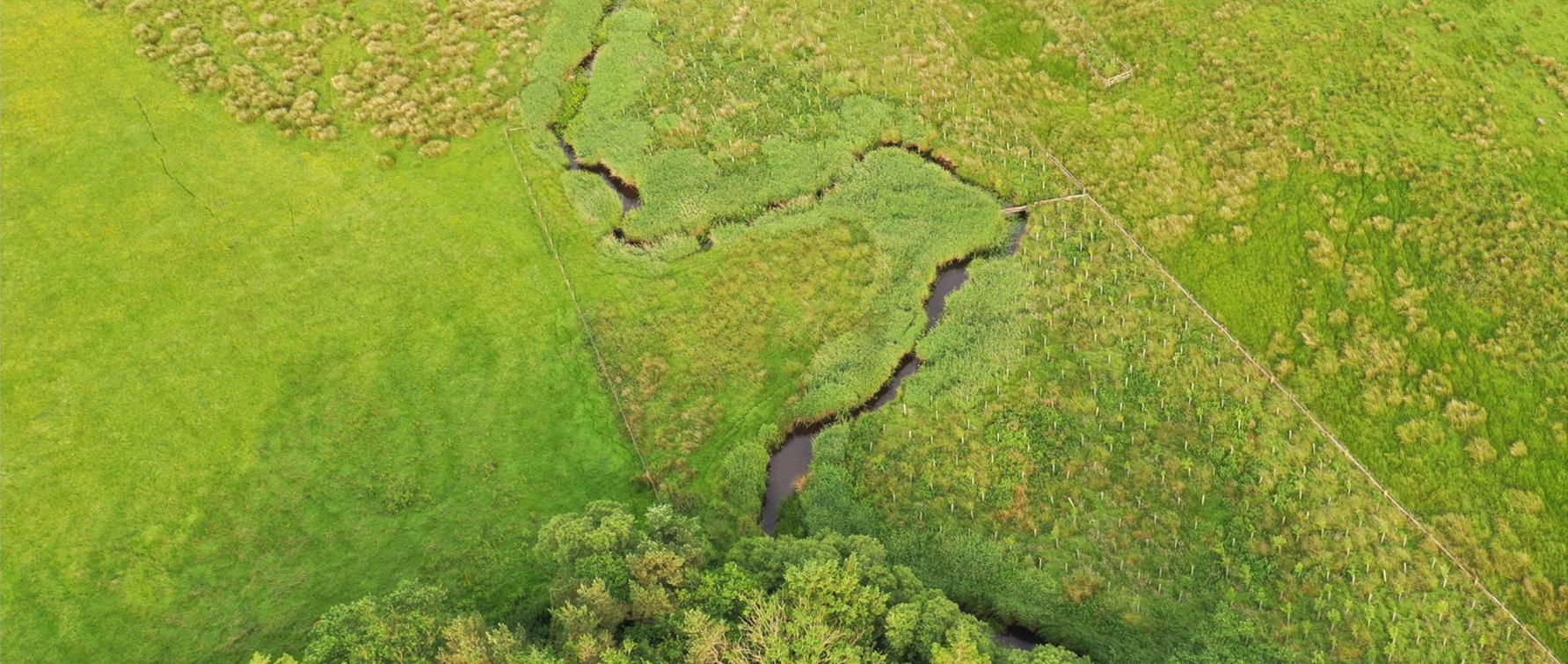
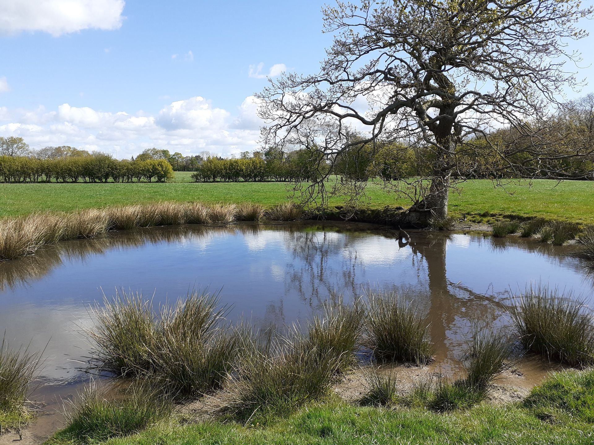
Lost Wetlands Nature Recovery Project
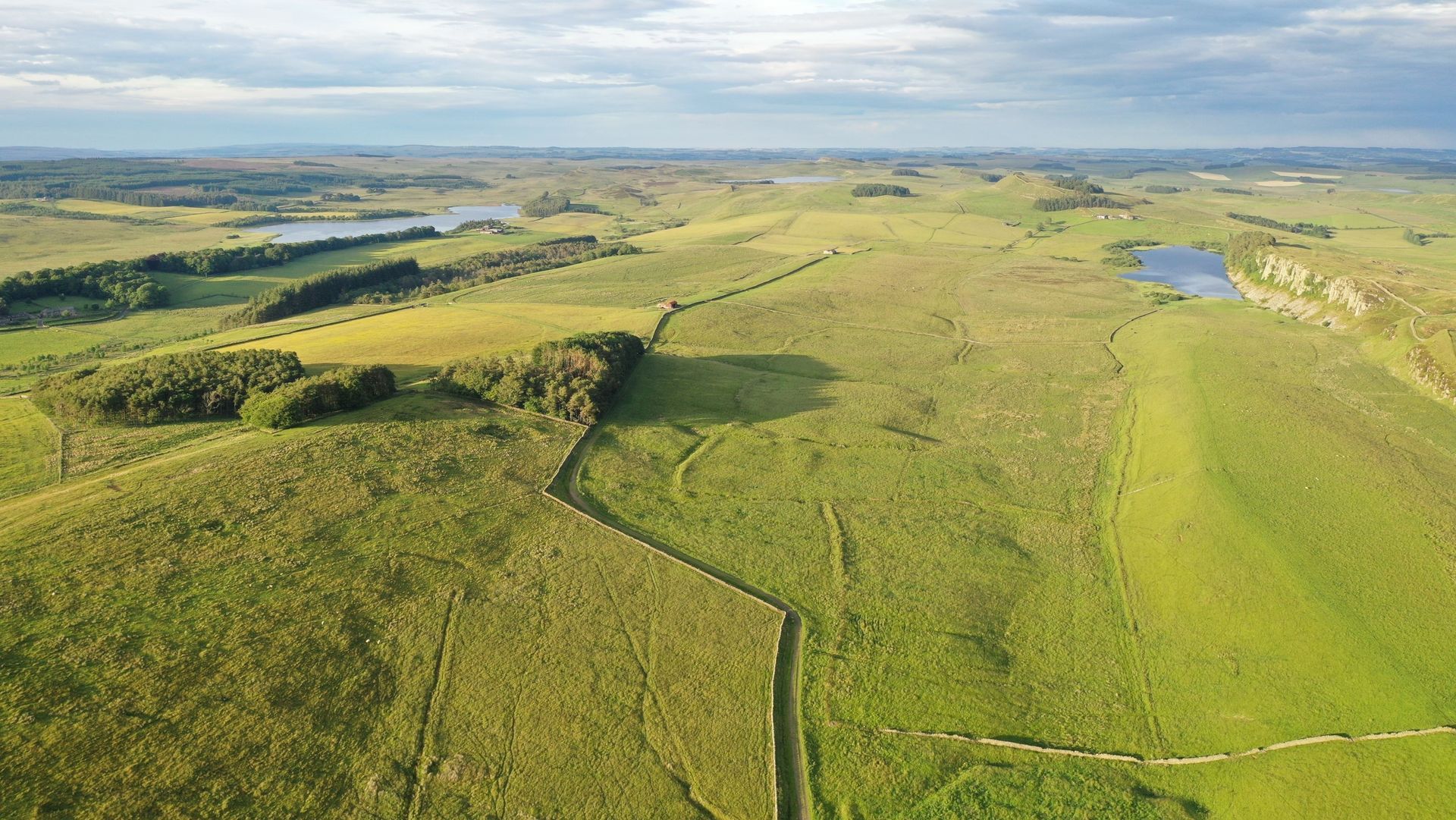
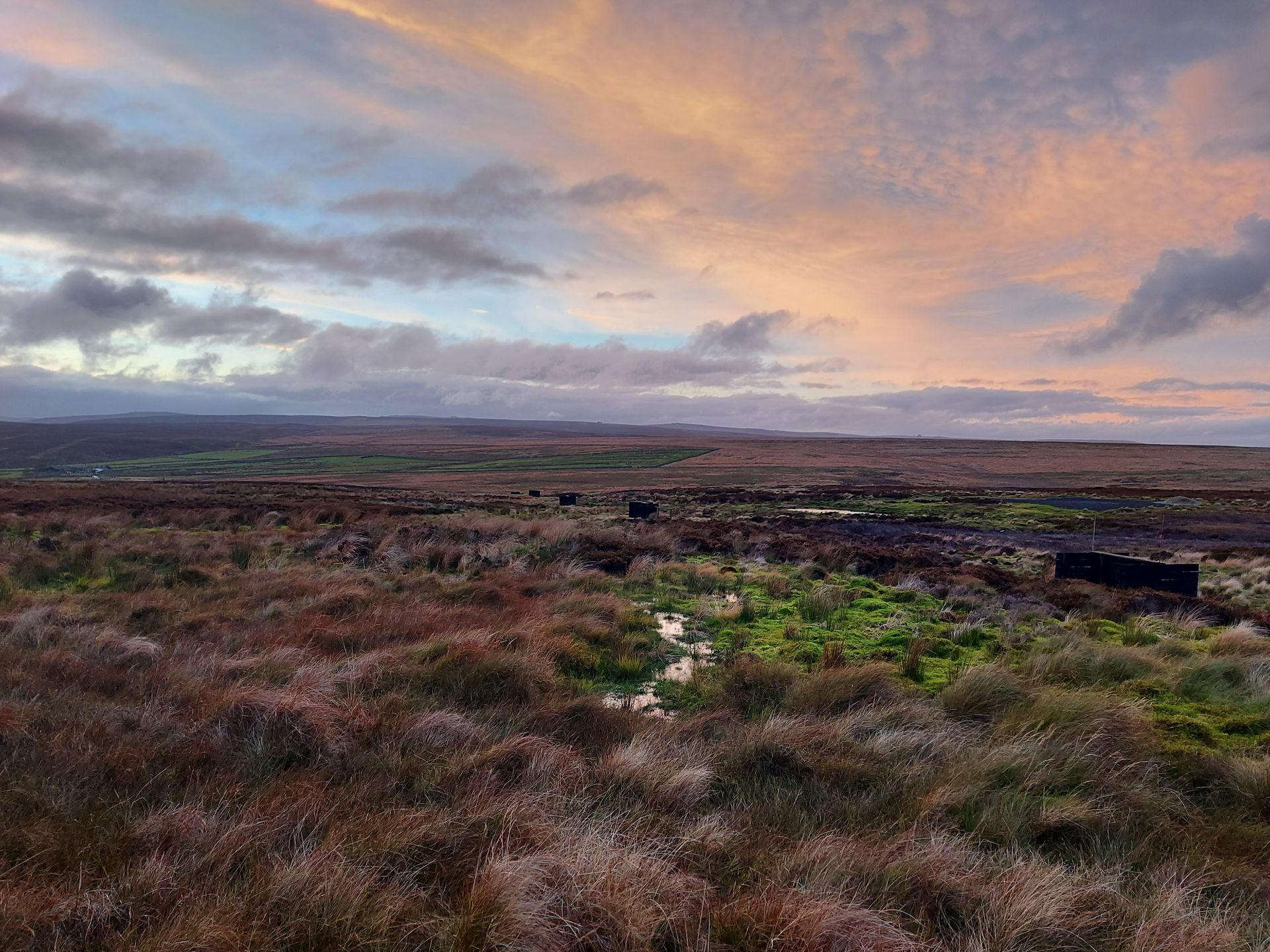
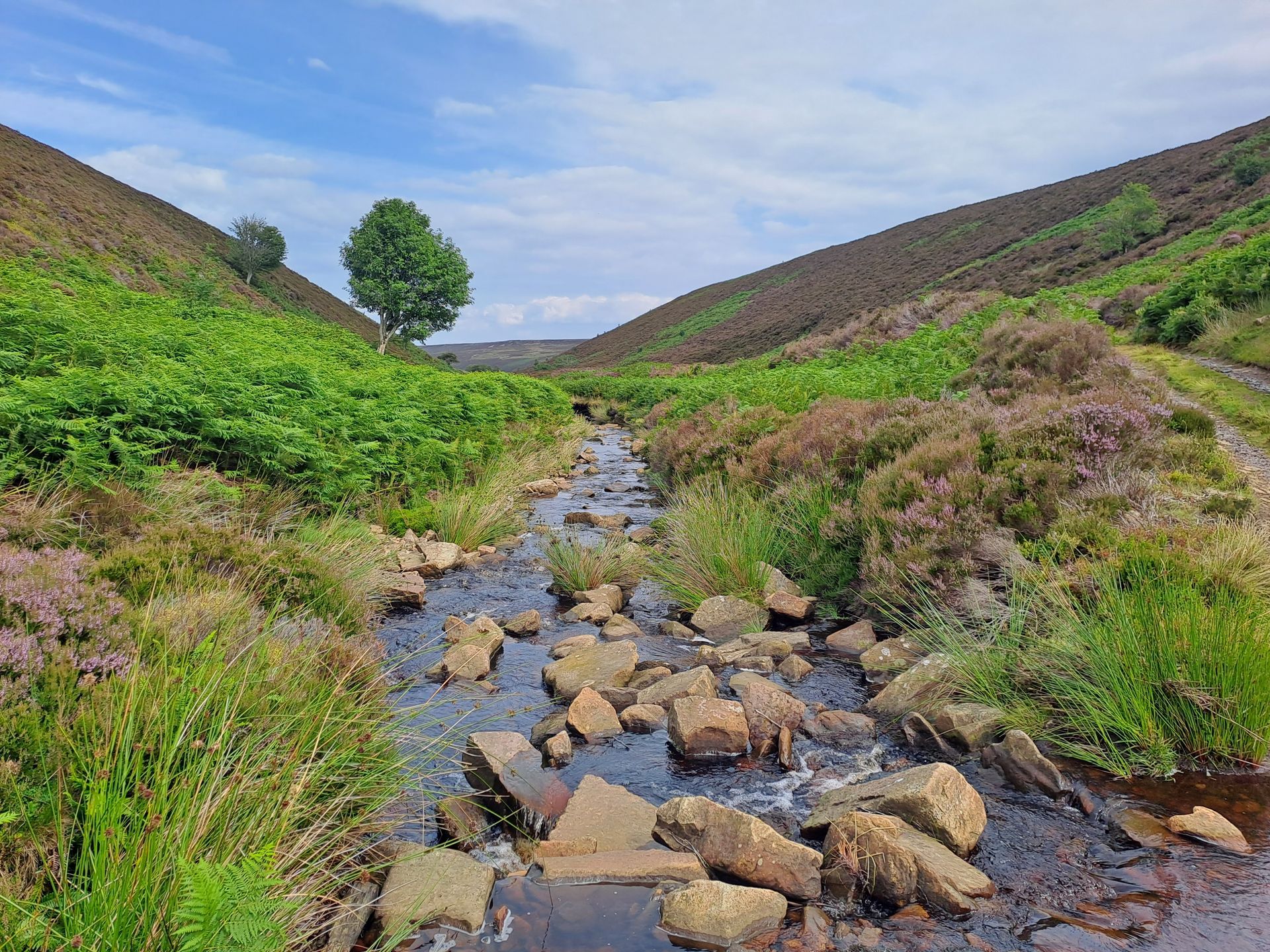
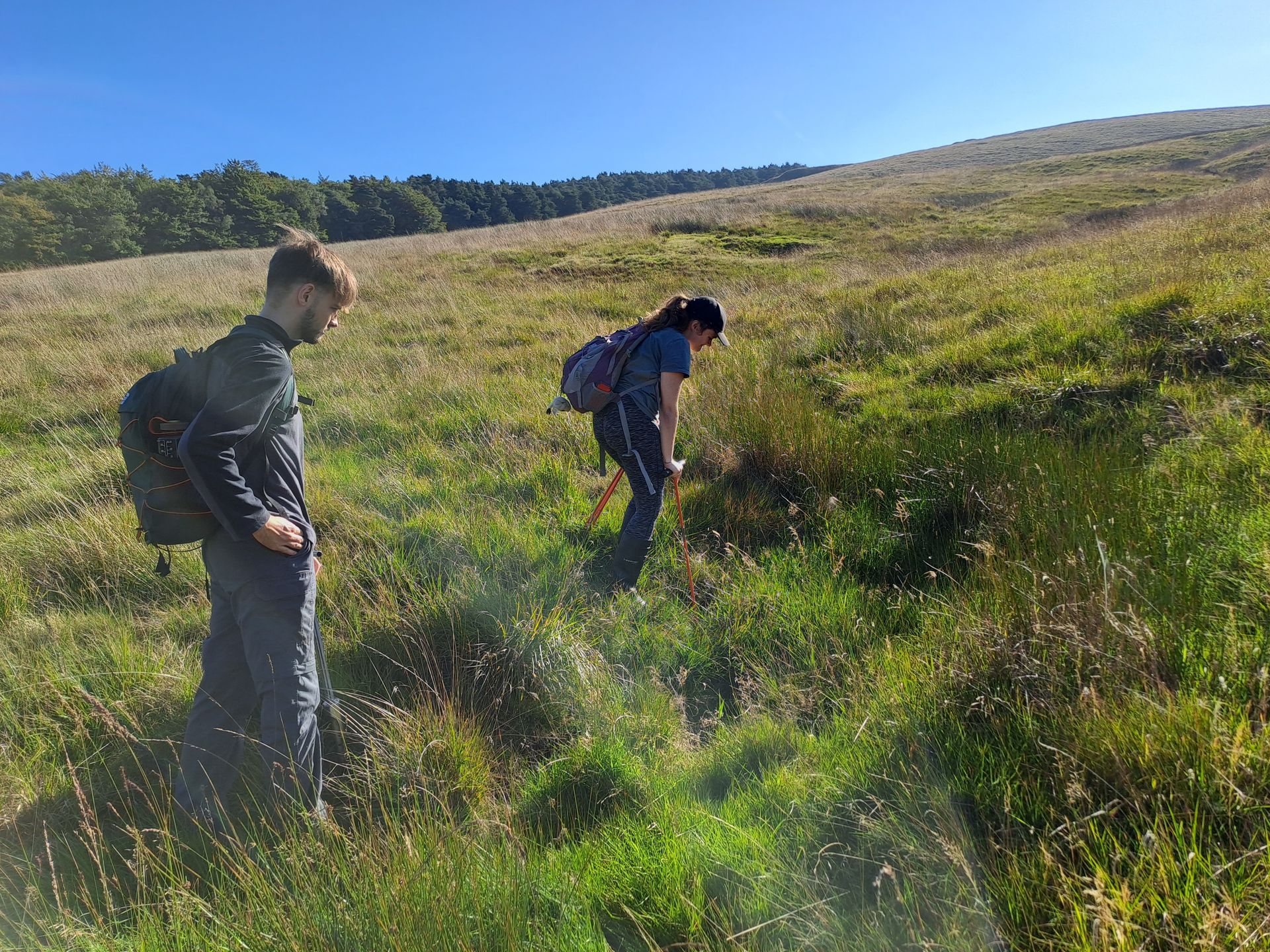
Hadrian's Wall Peat Survey
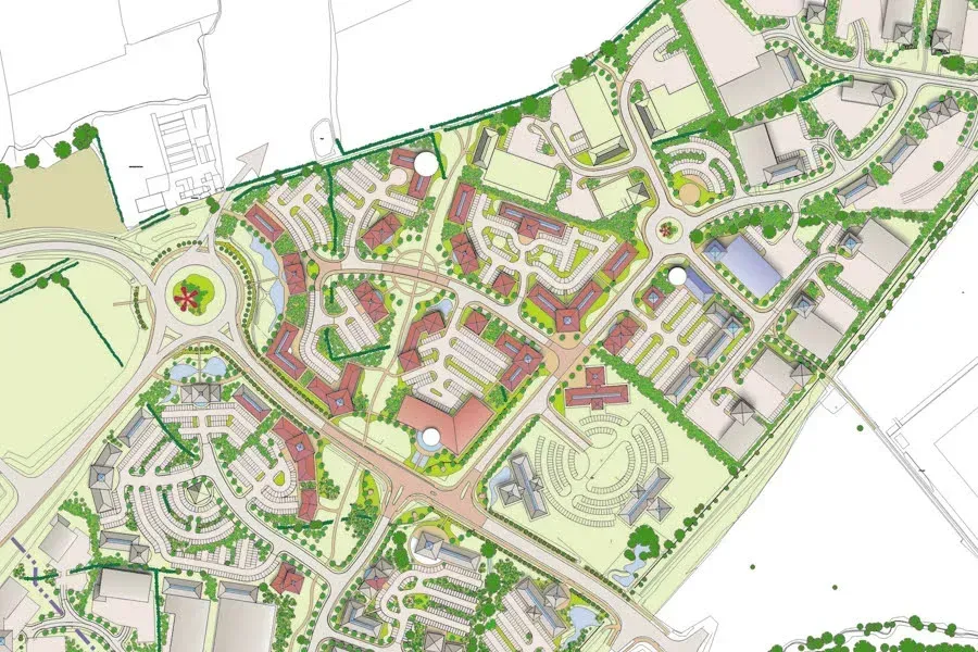
Manydown

Langarth Garden Village
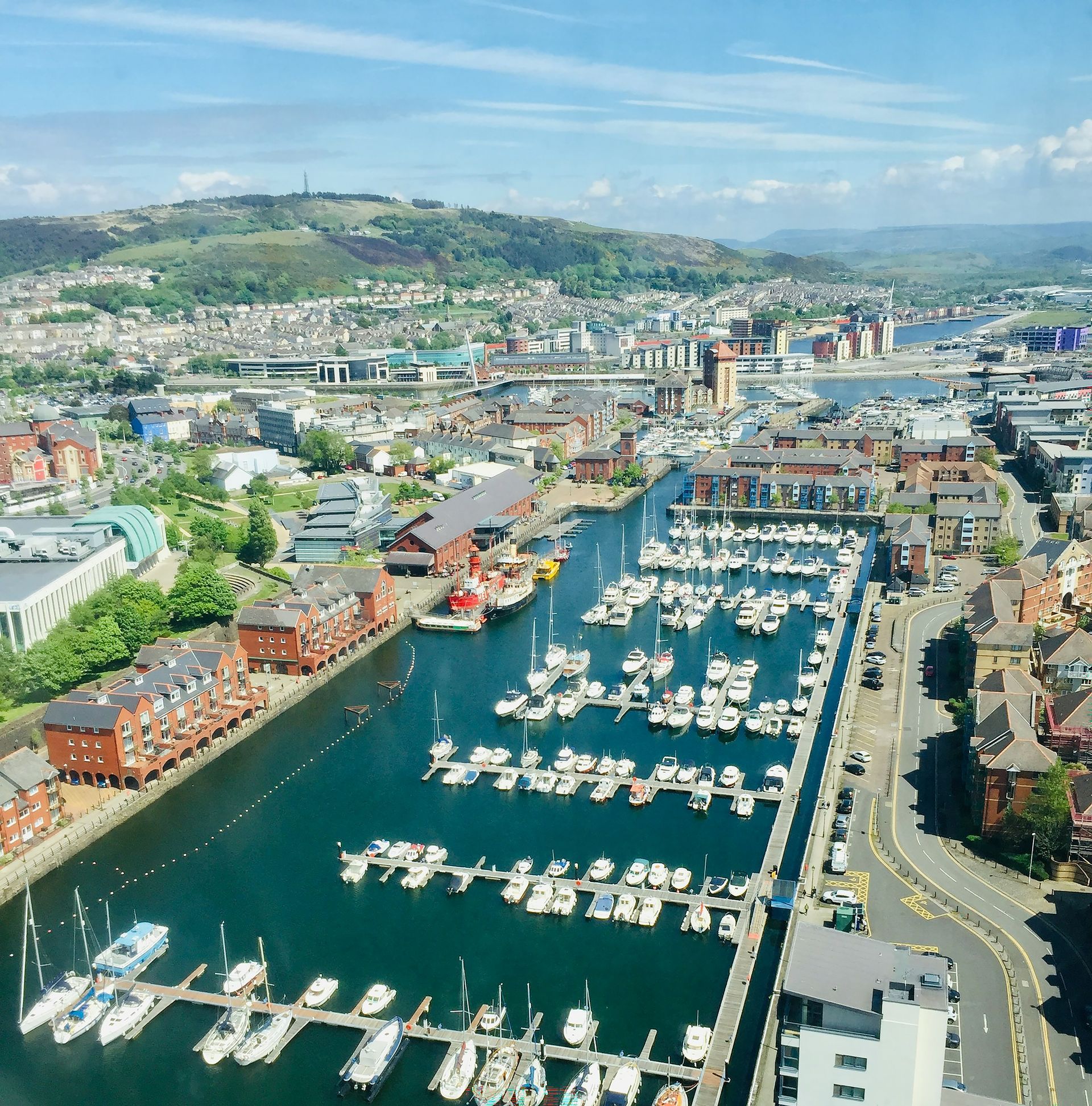
Swansea Opportunity Tree Mapping
Bromsgrove and Redditch BNG Assessment
Dewhirst Road Habitat Bank

Bellway Estate Feasibility Study

North Kent National Nature Reserve
Lyme Park Peat Mapping and Soil Survey
Lindow Moss

Greater Manchester Diffuse Pollution

Teesworks Industrial Zone
Oxford Burial Meadow
Viking Link
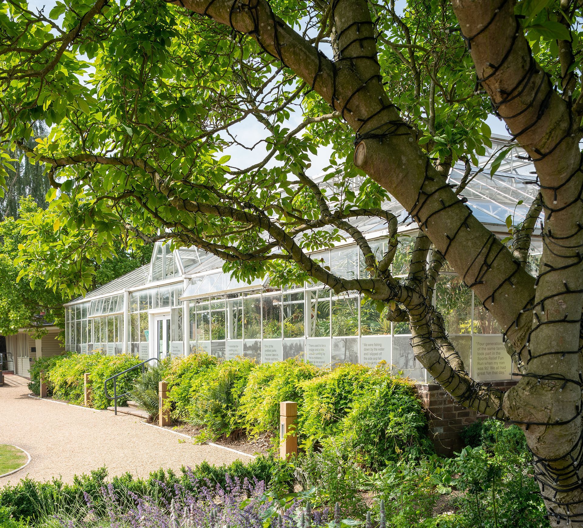
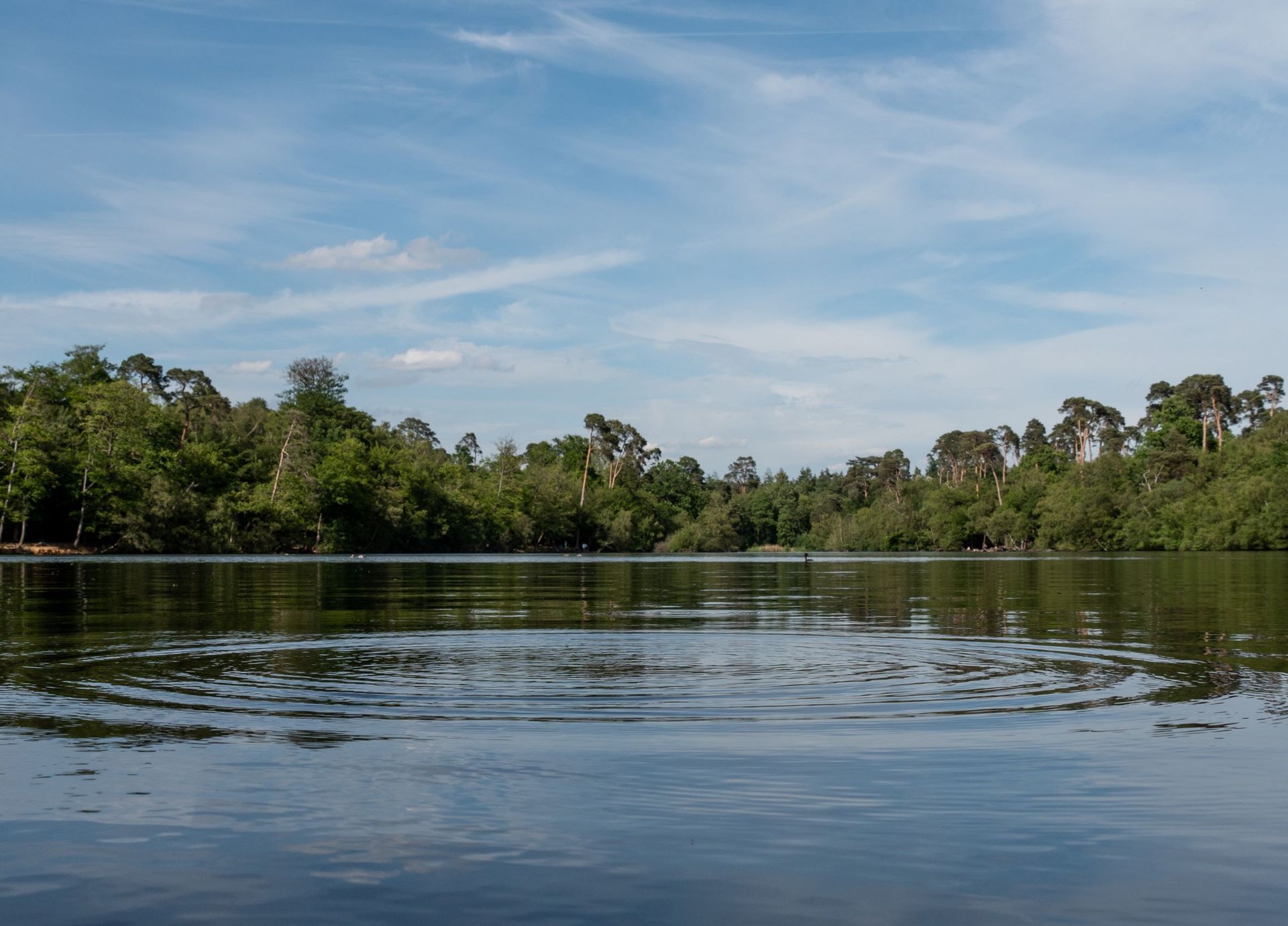
RHS Bridgewater
View more
Tredegar House
Tywyn Pipeline Replacement
Timber Works
Cotswolds Visual Impact Provision
Bedgebury National Pinetum
Rampion 2 Offshore Wind Farm
Beckton Gasworks, London
Telford Landscape Studies
Axbridge Road
North Hykeham Relief Road
Victoria Park
Blubberhouses Quarry
Thetford Forest
Whittingham Hospital
Eden Project Morecambe
Straws Hadley Solar Farm
Cuerdale Garden Village
Covent Garden Urban Greening
Black Park Management Plan
Harborough Green Wedge Assessment and Open Space Assessment
Langley Park
Northern Roots
Chiswick House and Gardens
Large-scale Ecological Monitoring for SSSI
Lost Wetlands Nature Recovery Project
Hadrian's Wall Peat Survey
Manydown
Langarth Garden Village
Swansea Opportunity Tree Mapping
Bromsgrove and Redditch BNG Assessment
Dewhirst Road Habitat Bank
Bellway Estate Feasibility Study
North Kent National Nature Reserve
Lyme Park Peat Mapping and Soil Survey
Lindow Moss
Greater Manchester Diffuse Pollution
Teesworks Industrial Zone
Oxford Burial Meadow
Viking Link
RHS Bridgewater
View more