To mark GIS Day, Associate Director Colin Bourne reflects on his 23-year journey through the geospatial profession, from cartography and modelling to the digital tools now shaping environmental decision-making.
23 years in the geospatial game, would not render him pleasurable to mine eyes!
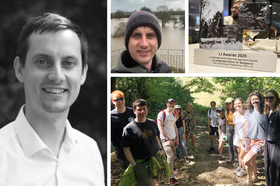
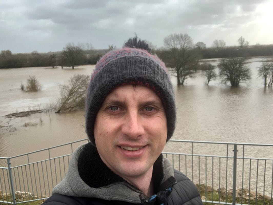
It’s not every day that Alan Partridge gets quoted in a geospatial blog, but it’s GIS Day and I’m running with it! This week, we are updating our staff profile photos, and I’ve been holding on to mine for nearly 15 years! With good reason, as the grey hairs are expanding and the frown lines are connecting up.
However, it’s not the 23 years in the geospatial field that have caused this, that’s likely more associated to having 3 kids under 12, hence many years of sleep deprivation and the trial and tribulations of parenting.
My geospatial career has given me a creative outlet, a purpose and many years of cartographic joy. The re-taking of my profile picture to show a much older, greyer and hopefully wiser me, has led me to think about my years in the industry, how the technology and my role has evolved and what the future may hold for us geospatial professionals within TEP and wider environmental sector.


My Early Years (2002-2010): ArcMap, Illustrator, and the Power of Cartography
My journey into GIS began with a fascination for maps, not just as navigational tools, but as visual stories and on many occasions mapping aids to the latest computer game on my Atari ST. My 3 years learning the trade at the university of Newcastle provided me with a well-rounded understanding of the profession. It gave me experience of ArcMap, which was my gateway into the spatial world, a platform where layers of data could be manipulated, styled, and interrogated. I got the taste for the world to come and was eager to experience more in my first cartographic role.
This role involved working on a range of urban design projects and providing cartographic support to craft mapping outputs that presented a future vision for a space or place. As well as initial understanding of GIS principles within ArcMap, my role ventured into Adobe Illustrator and Avenza Map Publisher, which taught me cartographic finesse: the art of clarity, layer hierarchy and the power of a well-tuned colour palette.
In those early years, I learned that a well-crafted map could do more than inform, it could persuade. Whether highlighting pedestrian flows or visualising biodiversity corridors, cartography became my own language to communicate and inform.
Big Data, Larger Scale, and GIS for Decision Making
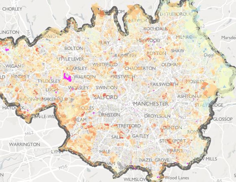
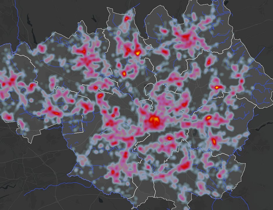
Moving to TEP in 2010, my career evolved and so did the scale and complexity of the data. I found myself working on national projects, regional environmental corridor analysis and a wide range of datasets, using geospatial tools that demanded not just technical skill, but strategic thinking to support largely environmental planning and ecological services.
At the time, a smaller GIS team sat within the environmental planning team and became central to decision-making. Projects were supported with spatial analysis to guide land use planning, ecological strategies and conservation prioritisation. The challenge was no longer just making cartographic outputs, it was making sense of vast, dynamic data to support real-world choices.
ArcMap was still the go-to software, and the desktop environment provided the platform for spatial analysis, although the future online environment was starting to take shape.
Mapping the Opportunity and Answering the Spatial Questions
My next career move took me out of consultancy and into the Forestry sector. My role would also evolve, continuing to provide Geospatial data management and advice but also supporting the management team to setup and run a UK grant funded forestry service, bringing undermanaged woodland into management. This new project was heavily steered by a geospatial modelling and multi criteria opportunity mapping project completed by TEP.
Working with over 20 individual criteria with complex spatial analysis modelling, including land ownership, woodland shape and constraints analysis, the results of the mapping process were the outputs that supported a grant application to initiate the project.
In supporting the setup and running of this team I learnt much about both project and people management, the power of geospatial tools and the flow of spatial data in and out of an organisation. GIS was a new service within a large organisation, much of it not fully understood. I would like to think that the importance of GIS was understood more at the end of my time and that much was learnt about the power of GIS to enable collaborative working and demonstrate the potential of opportunity mapping to bring forward positive change.
Putting the Tools in the Hands of Decision Makers
A move back to TEP followed in 2021, coinciding with a shift to ArcGIS Pro and ArcGIS Online. This was a major change in working practices, technology and opportunities for engagement. The geospatial team re-trained and begun the process of creating digital tools for decision makers. This has been the clear shift in the world of GIS in the last few years, providing simple to use geospatial led tools to all professionals and it’s the role of the geospatial professional to collaborate, design and develop these tools to drive geospatial standards and processes into day to day working practices. GIS has become much more accessible, but with this opening out of users, comes the responsibility to ensure validity, accuracy and suitability of inputs, analysis and outputs.
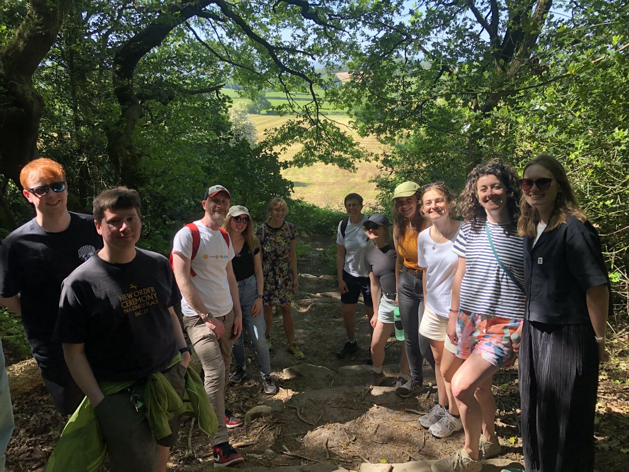
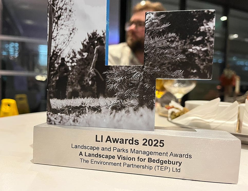
This geospatial collaborative approach continues to be demonstrated on a daily basis within TEP. Much of the workload for the expanded Geospatial skill team is focused on management of digital data from capture through to reporting, providing logical and innovative solutions. This has been demonstrated most recently in TEP’s recent Landscape Institute award success, highlighting what’s possible by collaborating with a range of services and the power of GIS to enable cohesive working environments with interactive, immersive and engaging platforms.
What’s Next for GIS?
Looking ahead, GIS will become increasingly integrated with other environmental services, playing a vital role in facilitating communication and collaboration across different teams and stakeholders. Innovations such as AI-driven spatial analysis, real-time data monitoring, and immersive platforms are transforming how we understand and manage our environments.
At TEP, we are committed to a digital transformation journey that enables all professionals to explore and analyse the spatial data they collect, identify trends, collaborate effectively, and produce engaging, interactive reports. While it’s impossible to predict every technological advance, one thing is certain: our Geospatial team will continue to champion collaborative GIS use across the organisation, ensuring that every service benefits from the strengths of digital geospatial data management.
I’m hoping that in another 23 years’ time, when I’m celebrating GIS Day again, I’ll still have the 2025 profile picture, the grey hairs will hopefully still be there in some capacity and we’ll be celebrating more examples of GIS enabling collaborative working and environmental understanding.
Happy GIS Day!
Colin Bourne, Associate Director