Over the past few months, the GIS team has been working on a desktop and mobile data capture tool for the creation and attribution of UK habitat spatial information to be used in Biodiversity Net Gain (BNG) 3.1 baseline habitat calculations.
The tool was initially discussed in an internal BNG workshop between our Ecology and GIS teams. The workshop identified areas for improvement such as:
Based on the discussion in the workshop the GIS team set about development of a desktop and field data capture tool that provides the digital data capture and single source of truth required along with the topological quality checks, condition criteria and automated BNG calculations to quickly express a BNG baseline figure.
Our Senior GIS Consultant, Monika Klamann, and GIS Spatial Developer, Gregor Boltic worked alongside senior members of the ecology team to evaluate potential software and hardware solutions. GIS went about developing a solution to this in the form of a desktop and field data capture software application that:
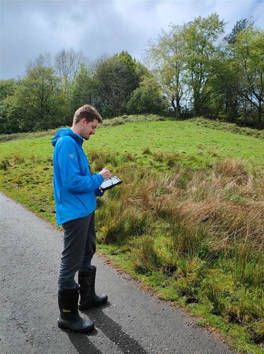
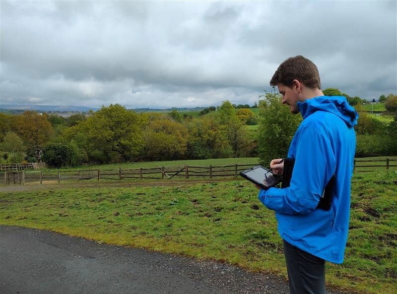
The BNG baseline application is currently being field tested on live projects, with the view of rolling it out for use within our 40+ strong ecology team in the near future. This is just one of many GIS innovations in field data capture and spatial data management that the GIS team are working on as part of their two-year GIS business plan aimed at reviewing all TEP’s data capture processes, and bringing as many of these to a digital platform as feasible.