TEP’s GIS team is involved in an ambitious new initiative, which is to compile a spatial database of Landscape Character Assessments covering the whole of England, Scotland and Wales. The team will be using their skills in spatial data acquisition and management to gather hundreds of datasets into a user-friendly system, making the data easily accessible to Landscape Planners for use in their assessments.
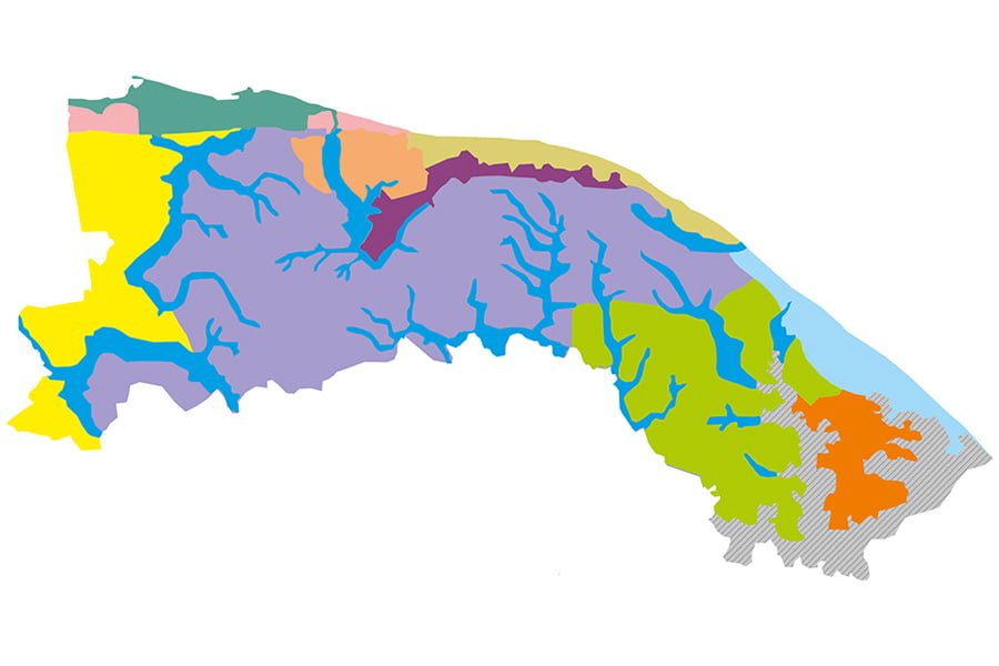
Landscape Character Assessments are used by planners to assess the impact of a potential development on its surroundings. These are produced at two scales, National and Local, and include spatial datasets which divide the study area into landscapes of similar character (for example lowland farmland or upland heathlands). National Character Areas are defined by Natural England and the associated dataset is freely available for download to include in assessments.
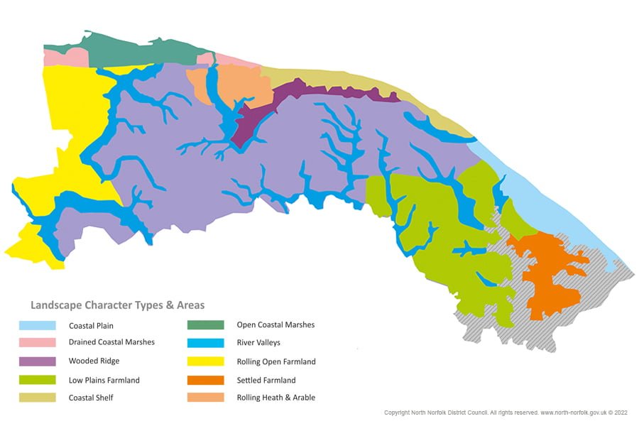
Local Landscape Character Areas are defined by District and County Authorities, and the availability of the spatial dataset for these assessments varies across the country. Some authorities make the dataset freely available for download, some display it through an interactive map and others display it through static paper plans. If the dataset is not available for download, the assessors will need to subjectively assess which local landscape character areas a proposed development impacts, which can be difficult if it is close to the dividing line between areas. A database of all the spatial datasets used as part of the Landscape Character Assessments was compiled in 2010 for use by Landscape Institute (LI) Members. However, the differing update cycles of each assessment meant that the records quickly became out of date.
TEP has joined a group of volunteer organisations, led by Senior Landscape Architect and LI Member Charlotte Williams, who aim to collate the spatial datasets associated with all Local Landscape Character Assessments across the country and develop a user-friendly database for all planners to use in their assessments. This database can then be maintained and updated when new assessments are completed, ensuring that it is a current source of information.
TEP will be providing GIS support to the initiative, utilising our wealth of experience in data management to ensure the incoming data is gathered, catalogued and stored in a consistent manner to maximise the usability of the final database.
The group is currently auditing all the assessments across England, Scotland and Wales to identify which Landscape Character Assessments provides a freely available spatial dataset and those which require further inquiries to obtain. The process won’t be quick, but this initiative will result in a more efficient way of accessing and using the data for all.
To understand more about the project, its benefits and future aspirations, the Landscape Institute is hosting an online consultation webinar on Tuesday 17th May at 11am. To register or submit any questions, follow this link> https://www.eventbrite.co.uk/e/consultation-webinar-landscape-character-data-tickets-251167858827