Lindow Moss
Ecohydrology, Geospatial, Carbon
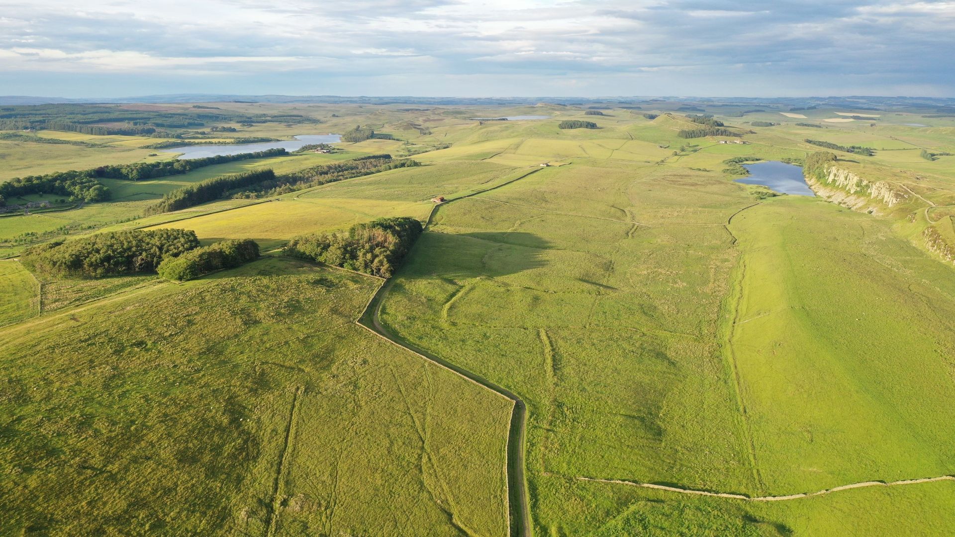
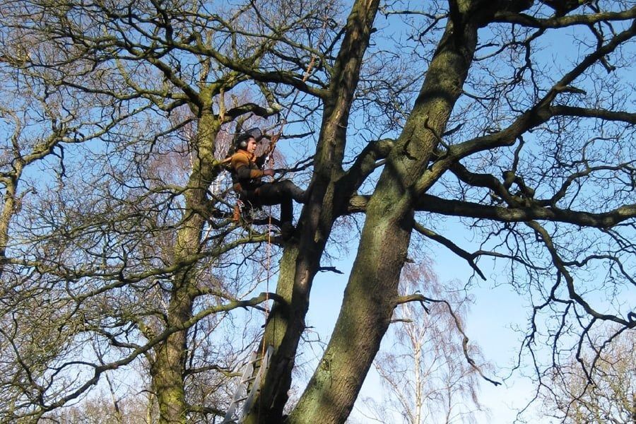
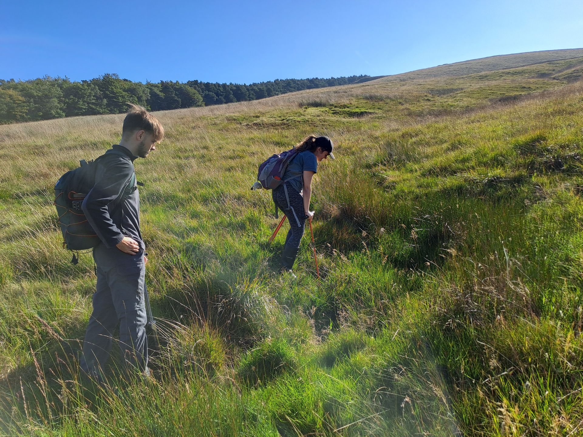
Hadrian's Wall Peat Survey
Ecohydrology
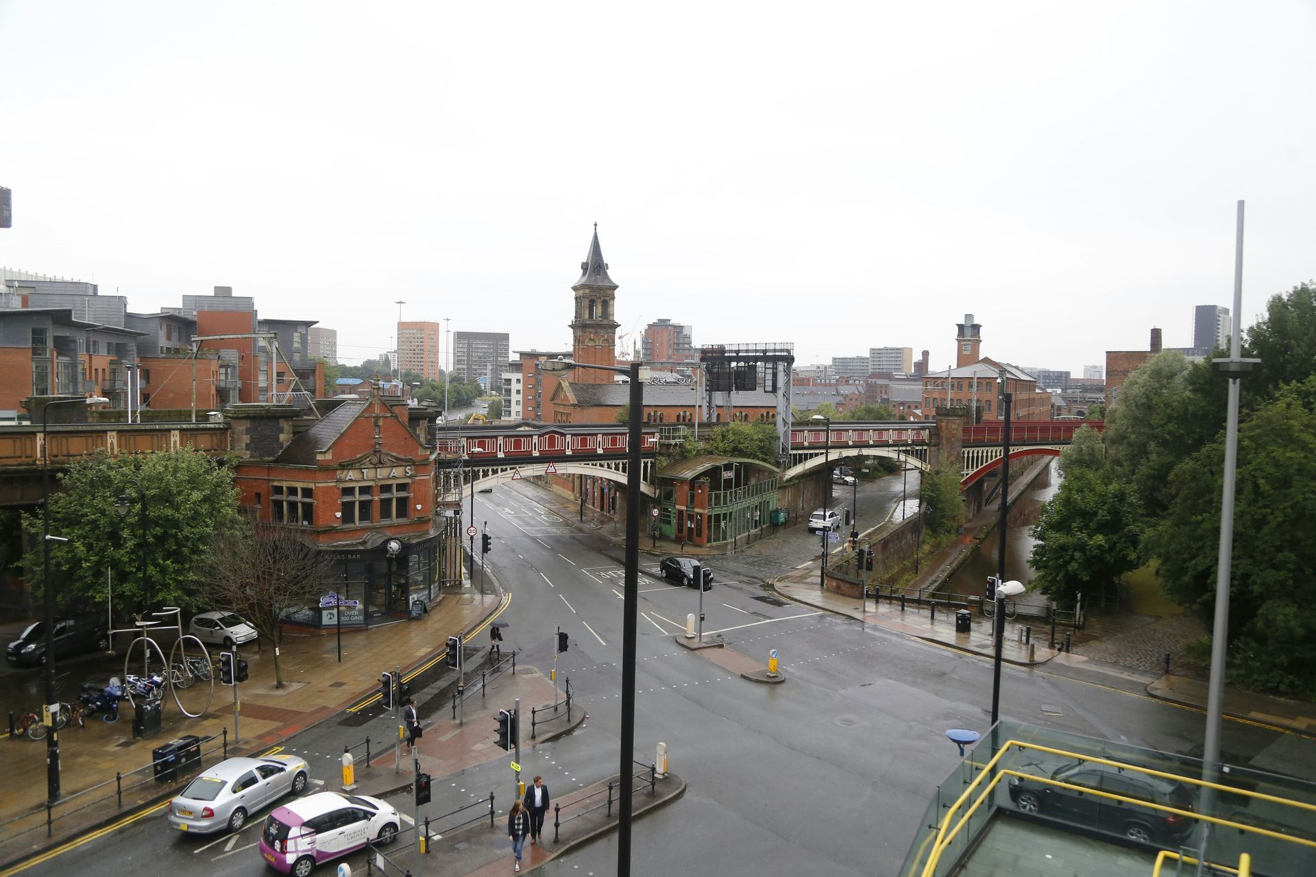
Greater Manchester Diffuse Pollution
Ecohydrology, Geospatial
Lyme Park Peat Mapping and Soil Survey
Ecohydrology, Geospatial, Carbon
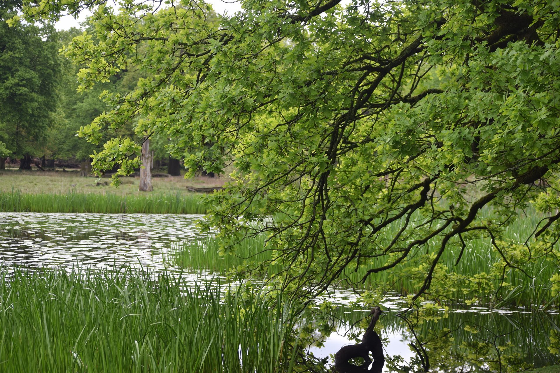
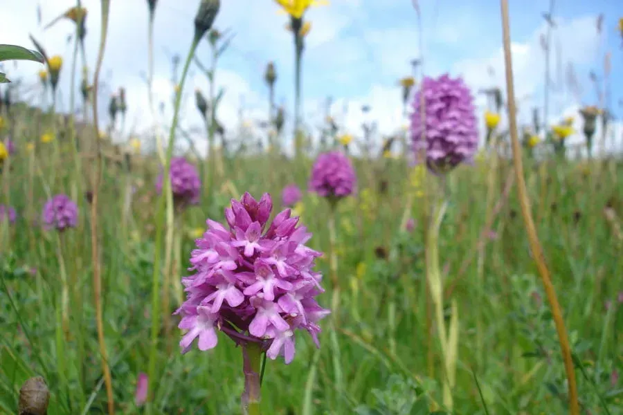
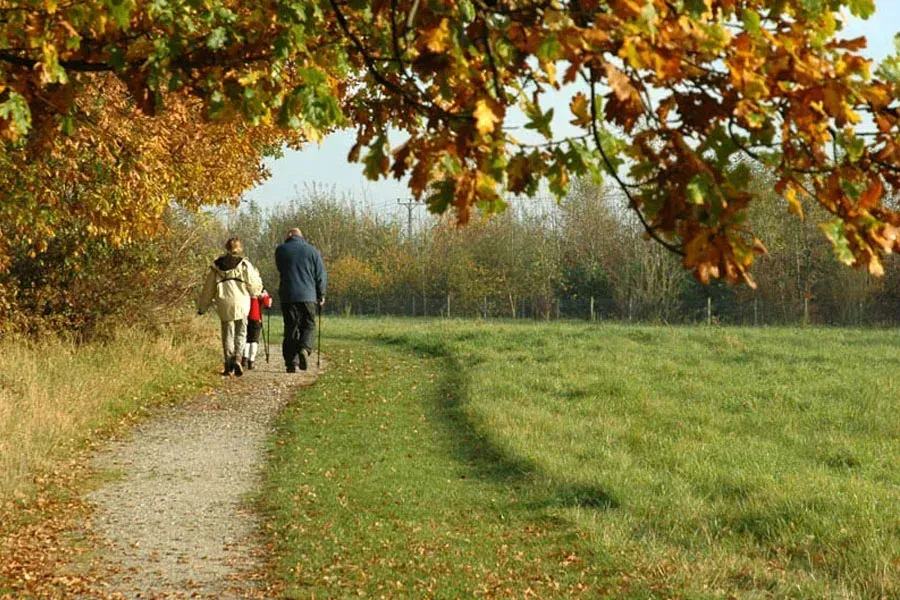
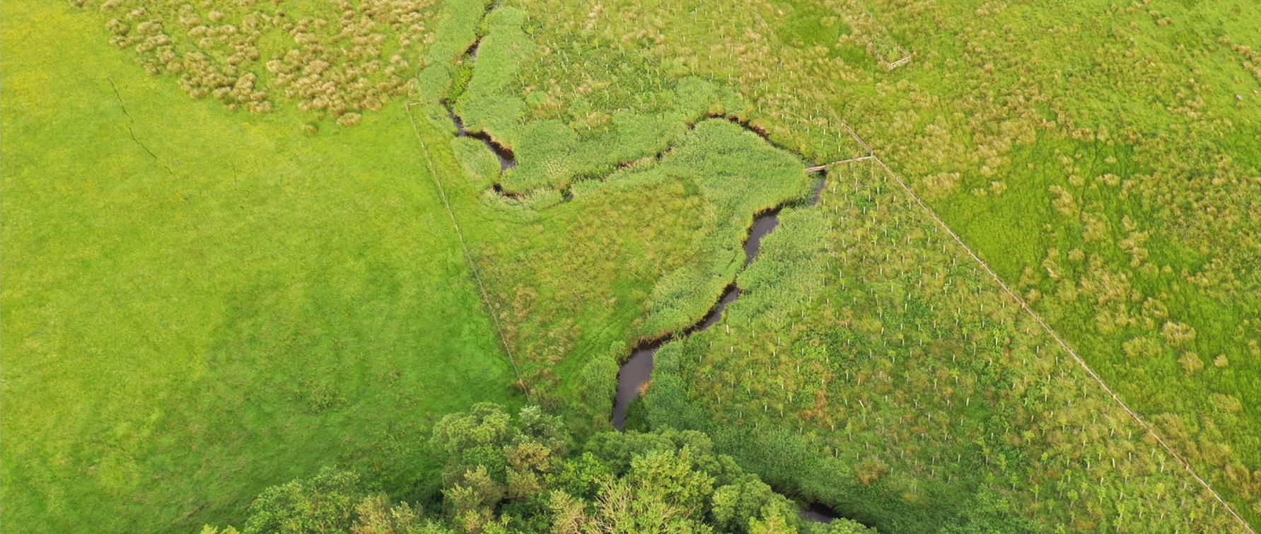
Lost Wetlands Nature Recovery Project
Ecohydology, Geospatial
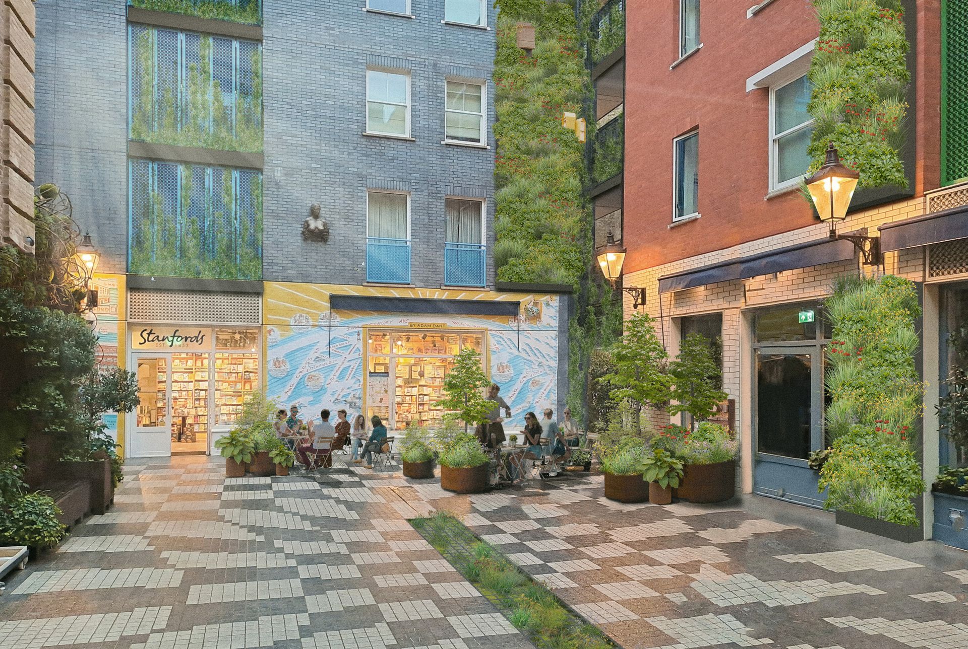
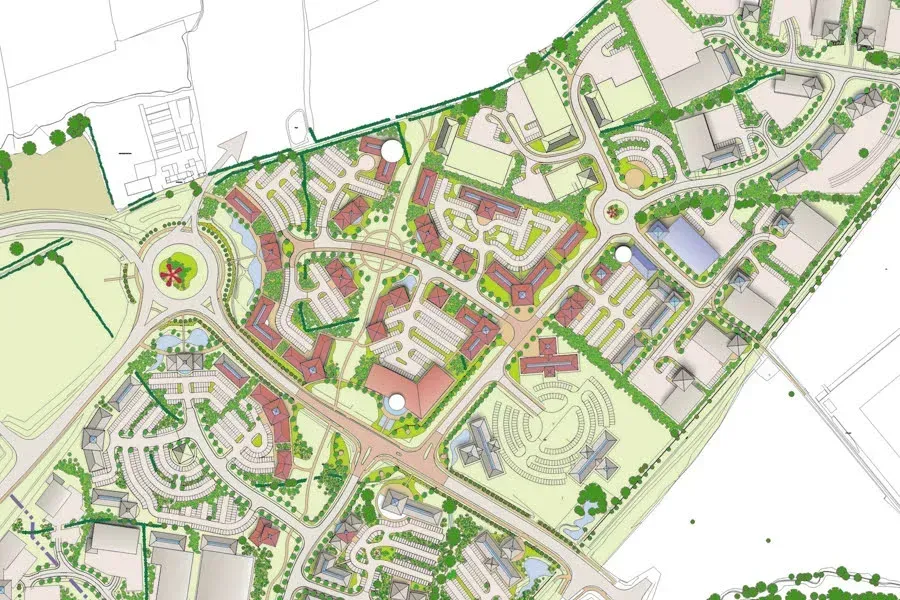
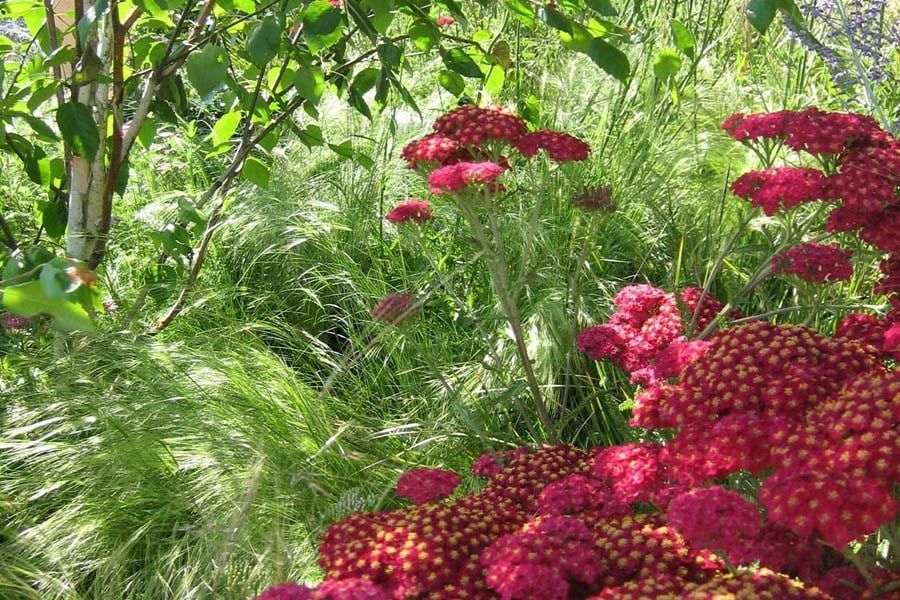
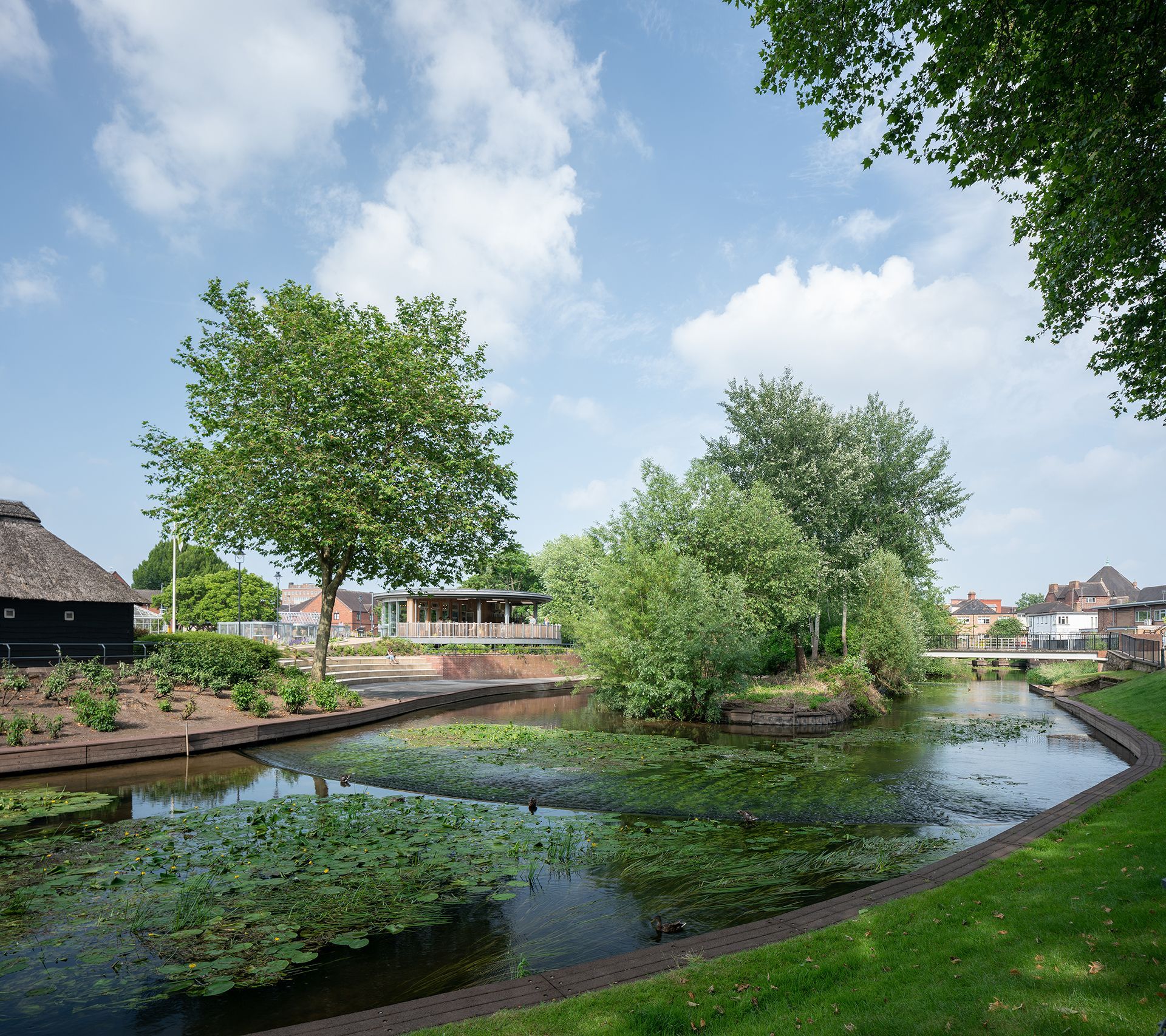
Covent Garden Urban Greening
Landscape Design, Ecohydrology