TEP is proud to be partnered with the award-winning initiative Time for Geograph y, whic h showcases the importance of geography and the diverse careers it can lead to. Time for Geography is a free, online education platform reaching schools and universities across the UK. Through a series of engaging video resources, it brings geography to life in the classroom, connecting academic learning with real-world challenges such as sustainability, climate change, urban planning and environmental management. Our contribution to the initiative forms part of the platform’s Careers Collection, where our team shares insight into the varied and rewarding pathways geography can open up. These resources are designed to help students understand how their studies translate into professional roles, offering a clearer view of the opportunities available within the environmental sector. We’re delighted that this collaboration has been recognised with a Highly Commended Geographical Association Publishers Award , which celebrates the careers-focused videos and resources developed to guide students towards further education and careers in our industry. With an audience of over 2.5 million this year, Time for Geography is a powerful example of how education and industry can come together to inspire future talent, showing how a subject studied in the classroom can lead to meaningful, real-world careers. For many of our colleagues at TEP, that journey began with a simple interest in geography at school. Today, that interest has grown into careers spanning ecology, arboriculture, heritage, planning, landscape design and environmental management. By sharing these experiences, we hope to encourage the next generation to see geography not only as a fascinating subject, but as a pathway into work that makes a tangible difference. We’re proud to support an initiative that is helping shape the future talent pipeline for our sector, and to inspire the environmental specialists of tomorrow. Learn more and watch our video:
Changes to the Planning Inspectorate’s Procedural Guide will update how planning appeals are handled in England for applications submitted after 1st April 2026.

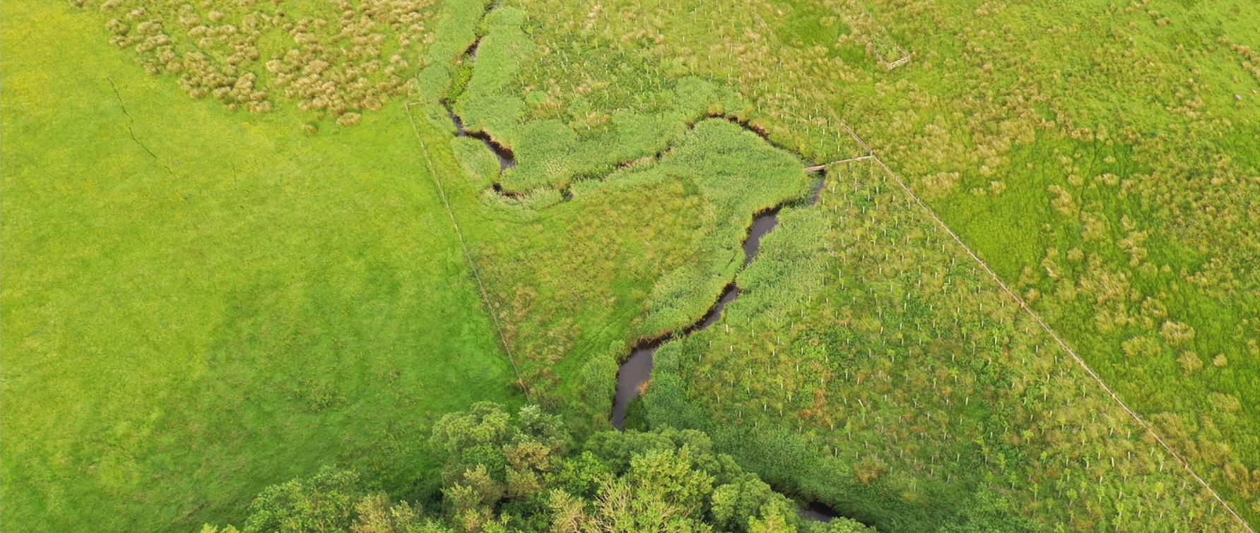
TEP was commissioned by Natural England to carry out a detailed chalk scrub study across the Seven Sisters National Nature Reserve.
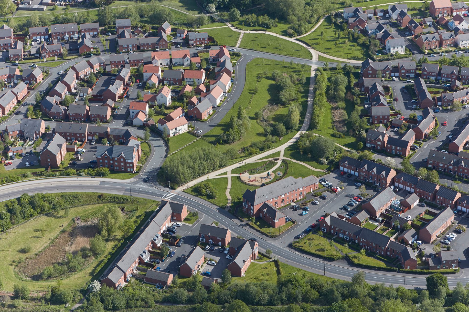
TEP supported Moor Allerton Golf Club in exploring the opportunity to establish a habitat bank across areas of land identified as surplus to operational requirements.
TEP was commissioned to undertake a two-stage historic environment baseline study and heritage impact assessment within the Tatton Meres SSSI.
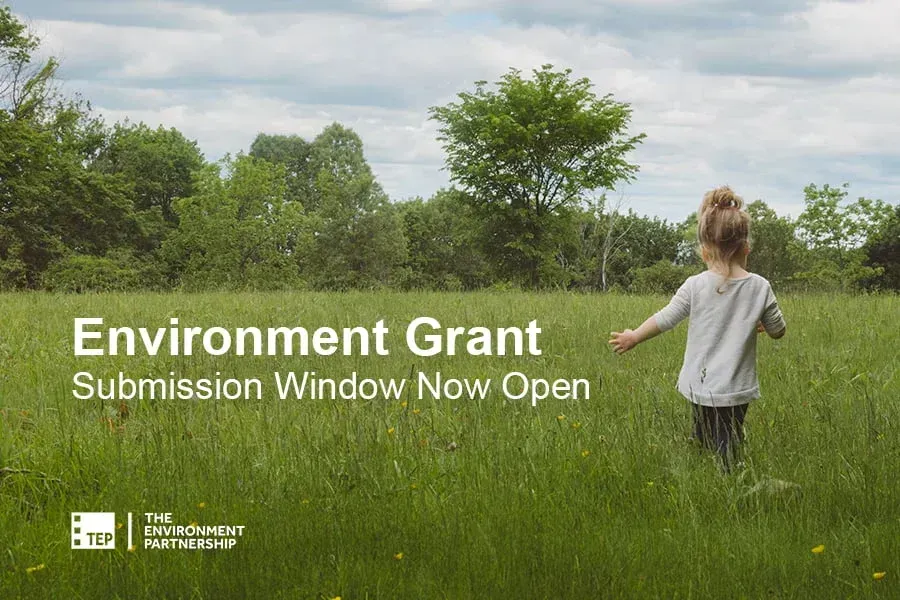
Our Grant has supported several environmental projects which are raising awareness of important environmental issues and furthering the environmental profession.
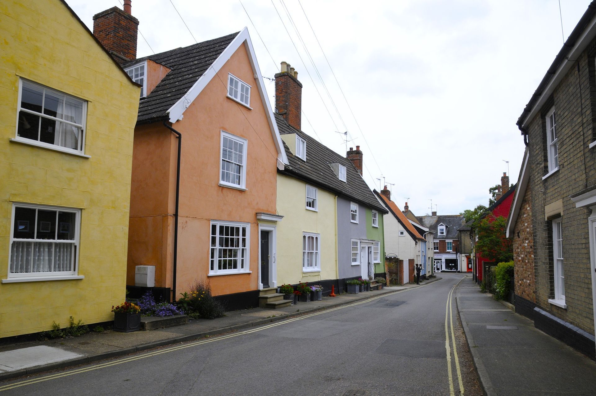
We were commissioned by East Suffolk Council to prepare an updated Conservation Area Appraisal and Management Plan (CAAMP) for Halesworth, replacing the previous appraisal from 2006. The update was needed to reflect changes in the town over time and to provide a clearer, more accessible framework to support effective planning and management decisions. Halesworth’s historic character is rooted in its medieval origins, still evident in the narrow streets of the town centre, the triangular Market Place, and the routes linking the Thoroughfare, Bridge Street and Chediston Street. Together with the Church of St Mary the Virgin, these spaces form the historic core of the settlement and provide a strong sense of continuity in the town’s development.
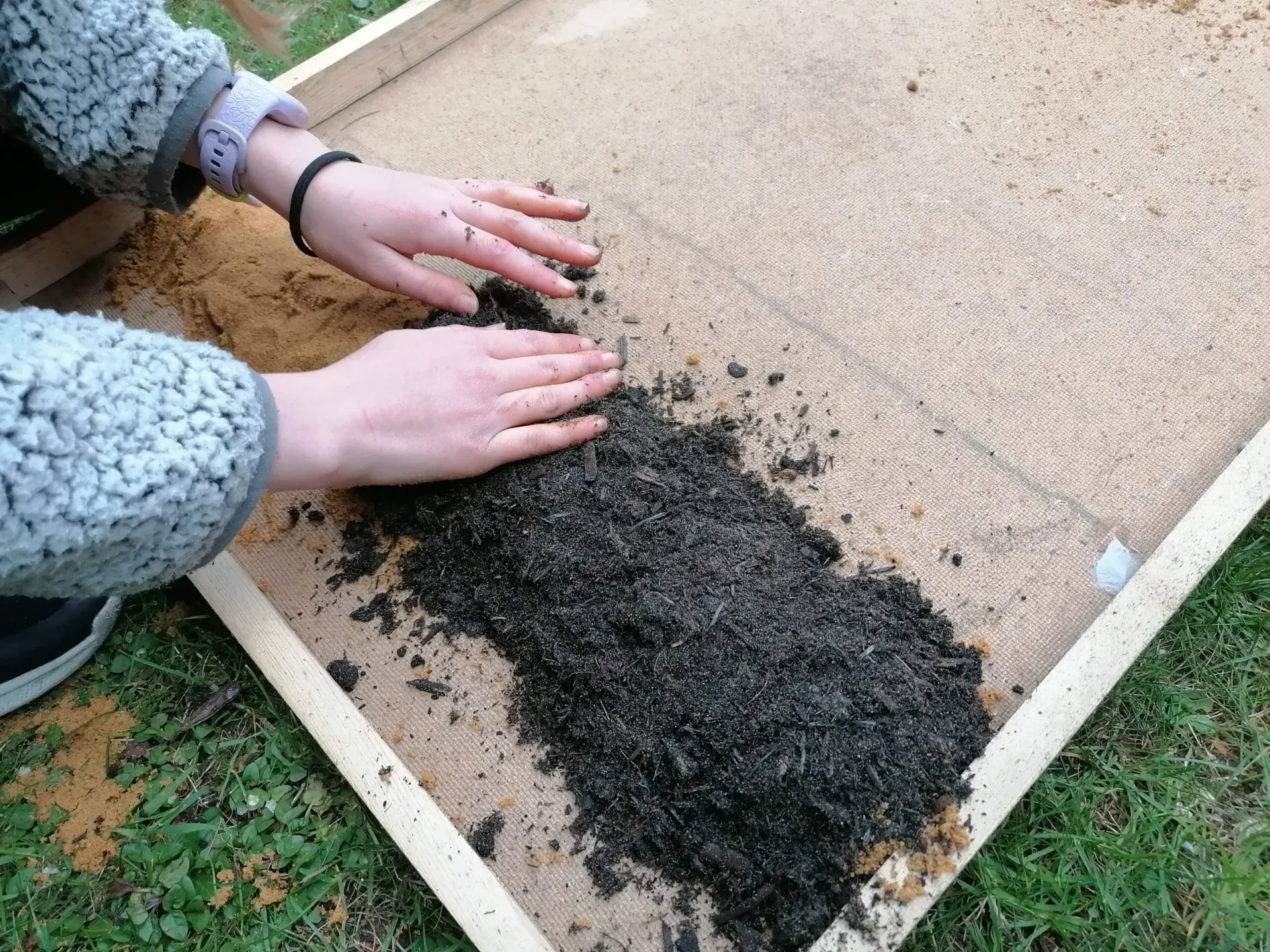
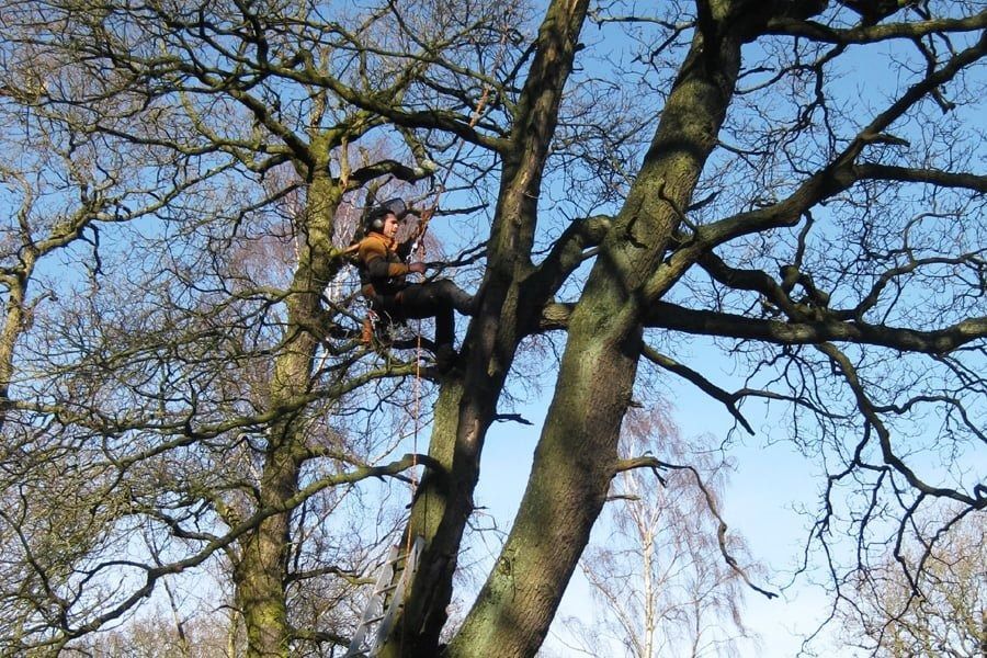
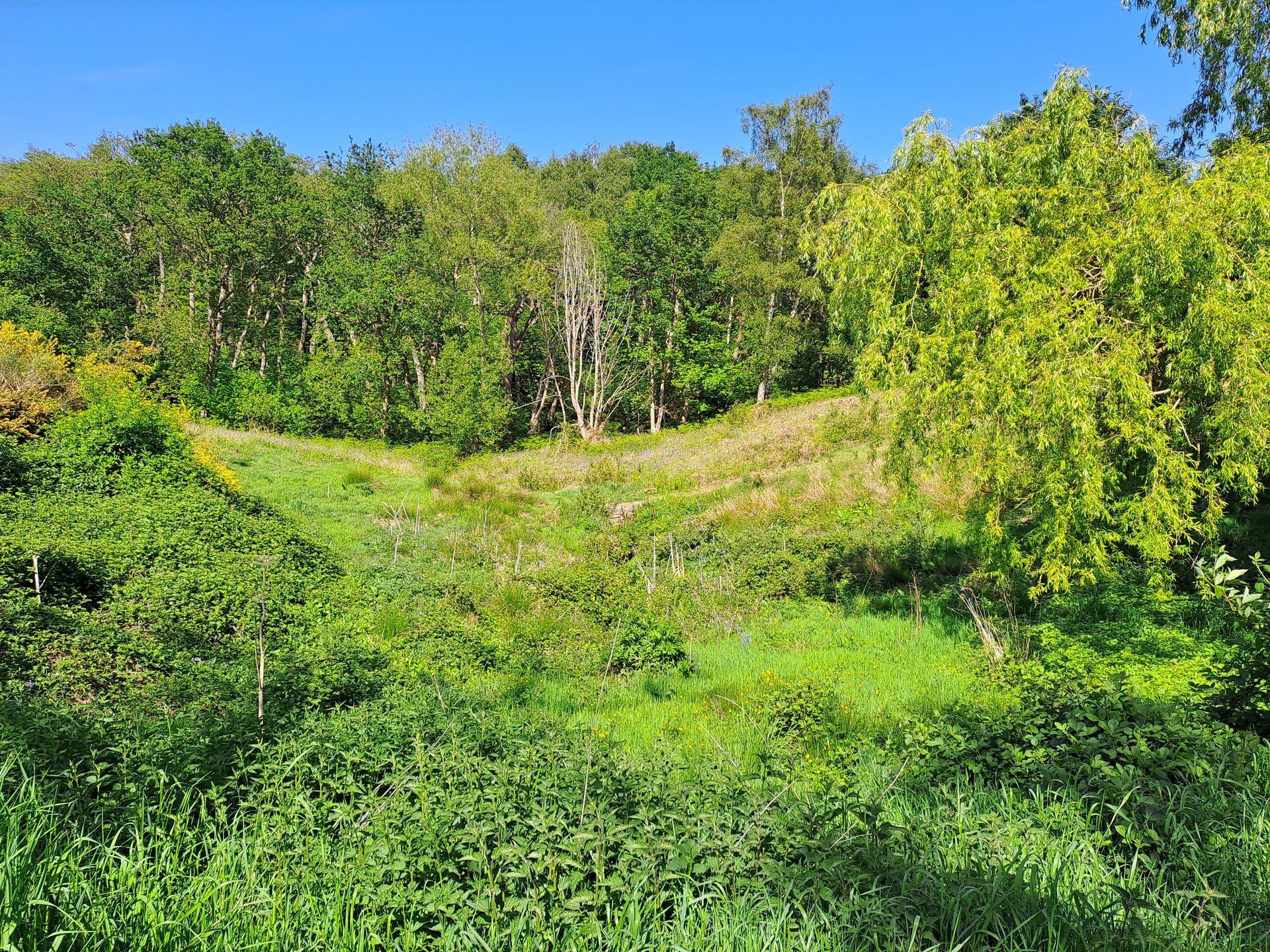
TEP has a proud history of providing educational outreach activities for schools, charities, and local groups. Our Ecohydrology team are …
Read more »
The post Learning Through Landscapes: TEP’s Educational Outreach appeared first on TEP - The Environment Partnership.
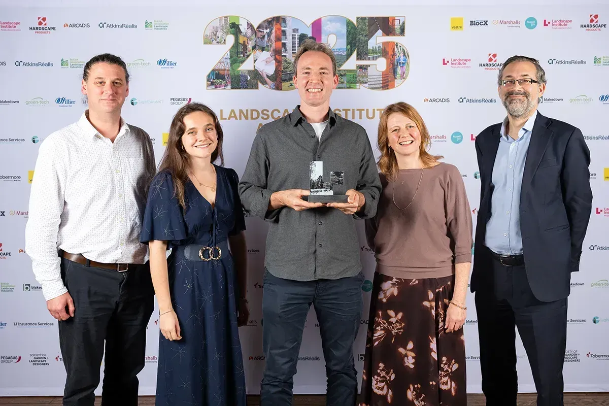
We were thrilled to win the Landscape and Parks Management Award at the 2025 Landscape Institute Awards.

To mark GIS Day, Associate Director Colin Bourne reflects on his 23-year journey through the geospatial profession.
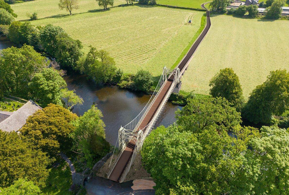
We have secured planning permission for Conwy County Borough Council to replace the footbridge across the River Conwy in Betws-y-Coed …
Read more »
The post Replacing Sappers Bridge: Connecting Communities in Snowdonia appeared first on TEP - The Environment Partnership.
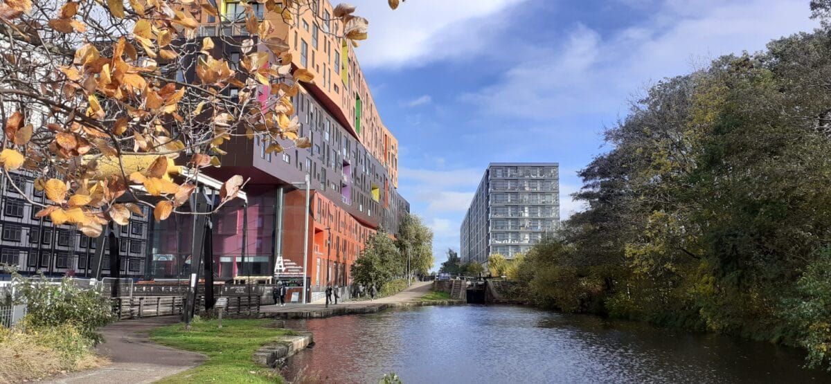
Manchester City Council has recently released its draft Local Plan for consultation, and TEP is proud to have played a …
Read more »
The post Helping to Shape Manchester’s Environmental Future appeared first on TEP - The Environment Partnership.
TEP is proud to be partnered with the award-winning initiative Time for Geograph y, whic h showcases the importance of geography and the diverse careers it can lead to. Time for Geography is a free, online education platform reaching schools and universities across the UK. Through a series of engaging video resources, it brings geography to life in the classroom, connecting academic learning with real-world challenges such as sustainability, climate change, urban planning and environmental management. Our contribution to the initiative forms part of the platform’s Careers Collection, where our team shares insight into the varied and rewarding pathways geography can open up. These resources are designed to help students understand how their studies translate into professional roles, offering a clearer view of the opportunities available within the environmental sector. We’re delighted that this collaboration has been recognised with a Highly Commended Geographical Association Publishers Award , which celebrates the careers-focused videos and resources developed to guide students towards further education and careers in our industry. With an audience of over 2.5 million this year, Time for Geography is a powerful example of how education and industry can come together to inspire future talent, showing how a subject studied in the classroom can lead to meaningful, real-world careers. For many of our colleagues at TEP, that journey began with a simple interest in geography at school. Today, that interest has grown into careers spanning ecology, arboriculture, heritage, planning, landscape design and environmental management. By sharing these experiences, we hope to encourage the next generation to see geography not only as a fascinating subject, but as a pathway into work that makes a tangible difference. We’re proud to support an initiative that is helping shape the future talent pipeline for our sector, and to inspire the environmental specialists of tomorrow. Learn more and watch our video:
Changes to the Planning Inspectorate’s Procedural Guide will update how planning appeals are handled in England for applications submitted after 1st April 2026.
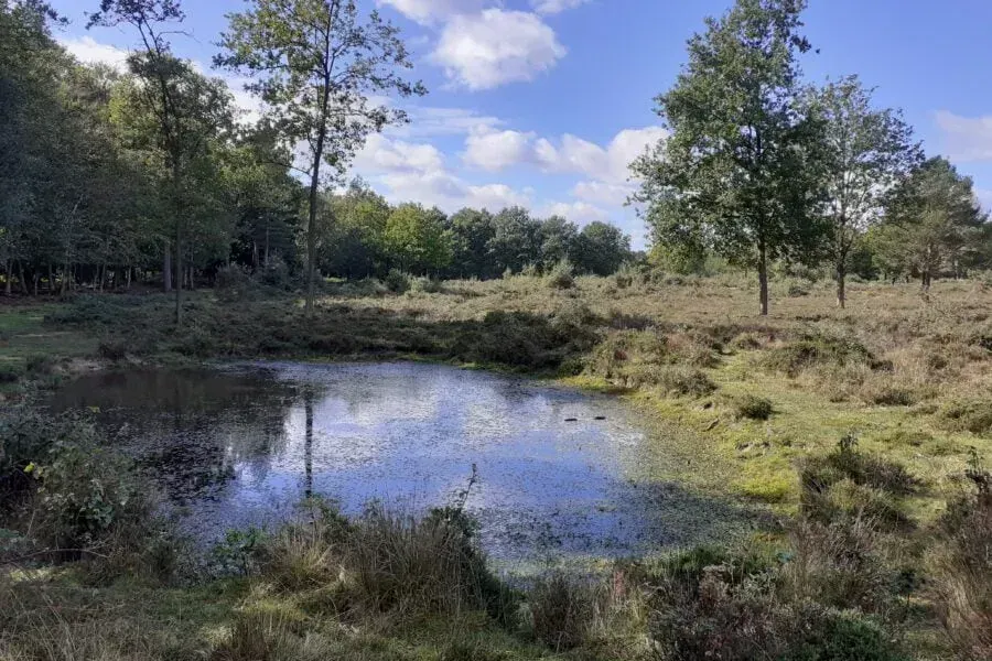
TEP was commissioned by Natural England to carry out a detailed chalk scrub study across the Seven Sisters National Nature Reserve.
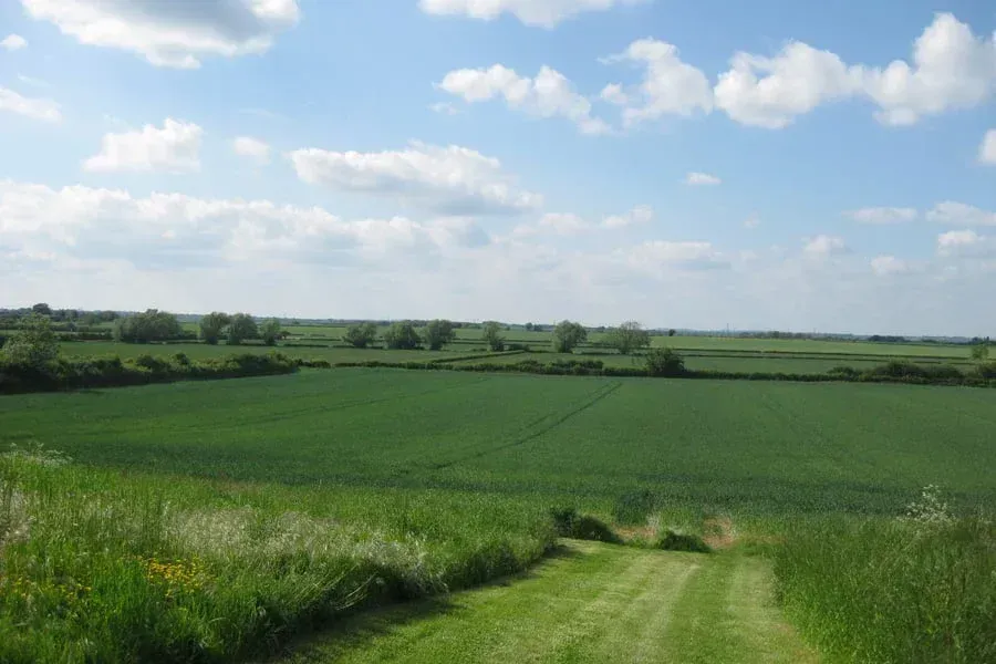
TEP supported Moor Allerton Golf Club in exploring the opportunity to establish a habitat bank across areas of land identified as surplus to operational requirements.
TEP was commissioned to undertake a two-stage historic environment baseline study and heritage impact assessment within the Tatton Meres SSSI.
Our Grant has supported several environmental projects which are raising awareness of important environmental issues and furthering the environmental profession.
We were commissioned by East Suffolk Council to prepare an updated Conservation Area Appraisal and Management Plan (CAAMP) for Halesworth, replacing the previous appraisal from 2006. The update was needed to reflect changes in the town over time and to provide a clearer, more accessible framework to support effective planning and management decisions. Halesworth’s historic character is rooted in its medieval origins, still evident in the narrow streets of the town centre, the triangular Market Place, and the routes linking the Thoroughfare, Bridge Street and Chediston Street. Together with the Church of St Mary the Virgin, these spaces form the historic core of the settlement and provide a strong sense of continuity in the town’s development.
TEP has a proud history of providing educational outreach activities for schools, charities, and local groups. Our Ecohydrology team are …
Read more »
The post Learning Through Landscapes: TEP’s Educational Outreach appeared first on TEP - The Environment Partnership.
We were thrilled to win the Landscape and Parks Management Award at the 2025 Landscape Institute Awards.
To mark GIS Day, Associate Director Colin Bourne reflects on his 23-year journey through the geospatial profession.
We have secured planning permission for Conwy County Borough Council to replace the footbridge across the River Conwy in Betws-y-Coed …
Read more »
The post Replacing Sappers Bridge: Connecting Communities in Snowdonia appeared first on TEP - The Environment Partnership.
Manchester City Council has recently released its draft Local Plan for consultation, and TEP is proud to have played a …
Read more »
The post Helping to Shape Manchester’s Environmental Future appeared first on TEP - The Environment Partnership.
TEP is proud to be partnered with the award-winning initiative Time for Geograph y, whic h showcases the importance of geography and the diverse careers it can lead to. Time for Geography is a free, online education platform reaching schools and universities across the UK. Through a series of engaging video resources, it brings geography to life in the classroom, connecting academic learning with real-world challenges such as sustainability, climate change, urban planning and environmental management. Our contribution to the initiative forms part of the platform’s Careers Collection, where our team shares insight into the varied and rewarding pathways geography can open up. These resources are designed to help students understand how their studies translate into professional roles, offering a clearer view of the opportunities available within the environmental sector. We’re delighted that this collaboration has been recognised with a Highly Commended Geographical Association Publishers Award , which celebrates the careers-focused videos and resources developed to guide students towards further education and careers in our industry. With an audience of over 2.5 million this year, Time for Geography is a powerful example of how education and industry can come together to inspire future talent, showing how a subject studied in the classroom can lead to meaningful, real-world careers. For many of our colleagues at TEP, that journey began with a simple interest in geography at school. Today, that interest has grown into careers spanning ecology, arboriculture, heritage, planning, landscape design and environmental management. By sharing these experiences, we hope to encourage the next generation to see geography not only as a fascinating subject, but as a pathway into work that makes a tangible difference. We’re proud to support an initiative that is helping shape the future talent pipeline for our sector, and to inspire the environmental specialists of tomorrow. Learn more and watch our video:
Changes to the Planning Inspectorate’s Procedural Guide will update how planning appeals are handled in England for applications submitted after 1st April 2026.
TEP was commissioned by Natural England to carry out a detailed chalk scrub study across the Seven Sisters National Nature Reserve.
TEP supported Moor Allerton Golf Club in exploring the opportunity to establish a habitat bank across areas of land identified as surplus to operational requirements.
TEP was commissioned to undertake a two-stage historic environment baseline study and heritage impact assessment within the Tatton Meres SSSI.
Our Grant has supported several environmental projects which are raising awareness of important environmental issues and furthering the environmental profession.
We were commissioned by East Suffolk Council to prepare an updated Conservation Area Appraisal and Management Plan (CAAMP) for Halesworth, replacing the previous appraisal from 2006. The update was needed to reflect changes in the town over time and to provide a clearer, more accessible framework to support effective planning and management decisions. Halesworth’s historic character is rooted in its medieval origins, still evident in the narrow streets of the town centre, the triangular Market Place, and the routes linking the Thoroughfare, Bridge Street and Chediston Street. Together with the Church of St Mary the Virgin, these spaces form the historic core of the settlement and provide a strong sense of continuity in the town’s development.
TEP has a proud history of providing educational outreach activities for schools, charities, and local groups. Our Ecohydrology team are …
Read more »
The post Learning Through Landscapes: TEP’s Educational Outreach appeared first on TEP - The Environment Partnership.
We were thrilled to win the Landscape and Parks Management Award at the 2025 Landscape Institute Awards.
To mark GIS Day, Associate Director Colin Bourne reflects on his 23-year journey through the geospatial profession.
We have secured planning permission for Conwy County Borough Council to replace the footbridge across the River Conwy in Betws-y-Coed …
Read more »
The post Replacing Sappers Bridge: Connecting Communities in Snowdonia appeared first on TEP - The Environment Partnership.
Manchester City Council has recently released its draft Local Plan for consultation, and TEP is proud to have played a …
Read more »
The post Helping to Shape Manchester’s Environmental Future appeared first on TEP - The Environment Partnership.