Working-from-home has certainly not stopped TEP’s GIS team from working on their CPD! Like many conferences, the geospatial industry has gone virtual this year and TEP was fortunate to attend the ESRI Virtual Conference and the GEO Business Virtual Forum. In response to the conferences, we have put together a few highlights on the current and future developments the geospatial industry has in store.
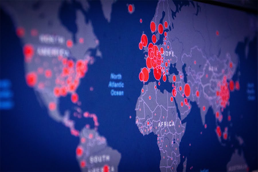
The ESRI Conference began by reflecting on the past year and how spatial information has helped communities and organisations to adapt and respond to the global pandemic. Take for example John Hopkins University, who have used a spatial dashboard to geographically display COVID19 data. This fantastic use of data has subsequently brought the geospatial profession into the foreground and impressively showcases the value of GIS.
The conference included a demo of ArcGIS Pro, Online, and Enterprise, allowing TEP to see some of their new features, which will be readily available when we move across to ArcPro. Features such as new colour-blind-friendly colour ramps and layer blends to integrate choropleth maps and hill shades without losing any definition.
Several case studies were discussed, which illustrated how spatial analysis and data science is being used within various professions and the huge impact they are having on them. The Alcis Settlement Detection example showed us how ArcGIS Platforms are being used to identify the 2.5 million internally displaced people in Afghanistan. By using satellite imagery, tents and settlements can be identified, which can then help direct resources to the right areas. Another case study was Forestry and Land Scotland, who manage 9% of Scotland’s Land. 80% of their staff use GIS, including the mobile data capture applications Fieldmaps and Survey123. Using GIS increases their efficiencies and provides a consistent data capture approach. It also enables them to collect the data whilst on site and sync it directly with corporate systems, as well as reducing paper use and minimising errors. Could this be the future of site visits?
As part of the sessions available during the GEO Business Virtual Forum, there was a discussion on Tech trends & the future of the geospatial profession. This was attended by a variety of organisations, including manufacturers of survey equipment Leica Geosystems, geospatial surveyors Technics Group, and GIS consultants MapItOut. It was noted that the increasing availability of technologies such as Virtual and Augmented Reality; Deep Learning and Cloud-based processing will continue to present new opportunities for data capture, processing, analysis and visualisation. This will allow consultancies to capture a greater volume of detailed data, process and analyse it using more insightful techniques and present it to clients in novel ways.
Another current trend discussed is the increasing democratisation of data and the availability of crowdsourced data. The availability of high-quality datasets such as Satellite Imagery from Copernicus; and crowdsourced data from OpenStreetMap under open-source licences, presents organisations with a wealth of accessible resources to use on projects for clients. Although, there are some concerns over the quality of crowdsourced datasets, it is important to remember the project goals and whether it is fit for purpose.
Finally, there was a recognition that the geospatial industry must become better communicators (after all, we are storytellers who use maps!) and that it is crucial to understand clients’ needs when developing a geospatial solution. At TEP we utilise a range of spatial technologies: from desktop applications ArcGIS and QGIS to spatial databases in PostgreSQL + PostGIS and webmapping technologies Leaflet.JS; and design the best solution using a client’s brief.
All of these trends present very exciting opportunities for the geospatial industry and the GIS team at TEP eagerly looks forward to them.