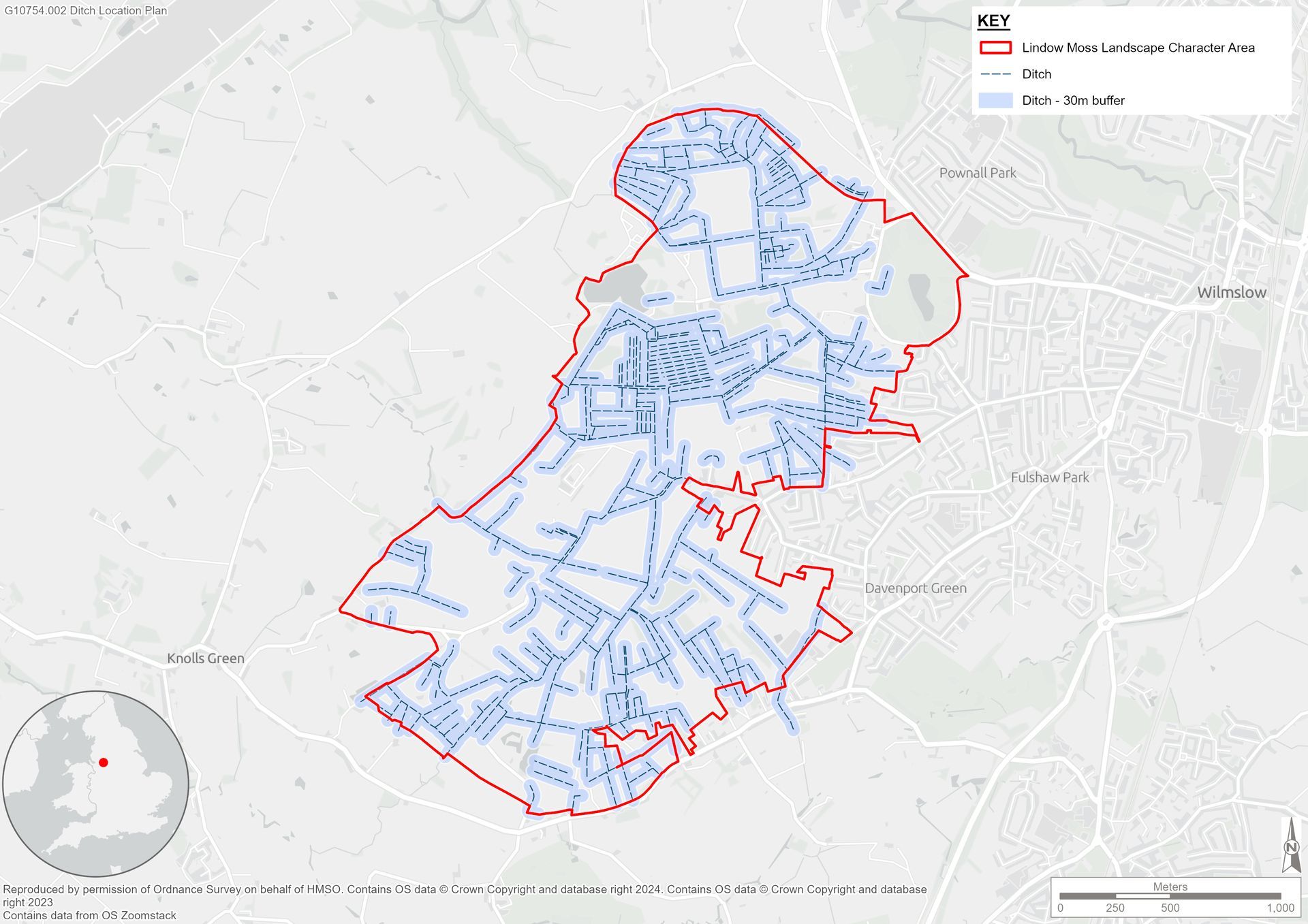
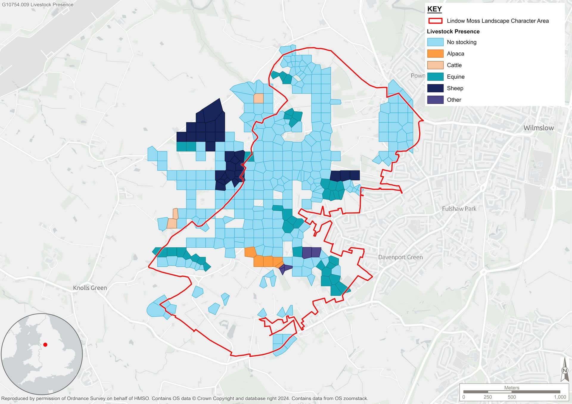
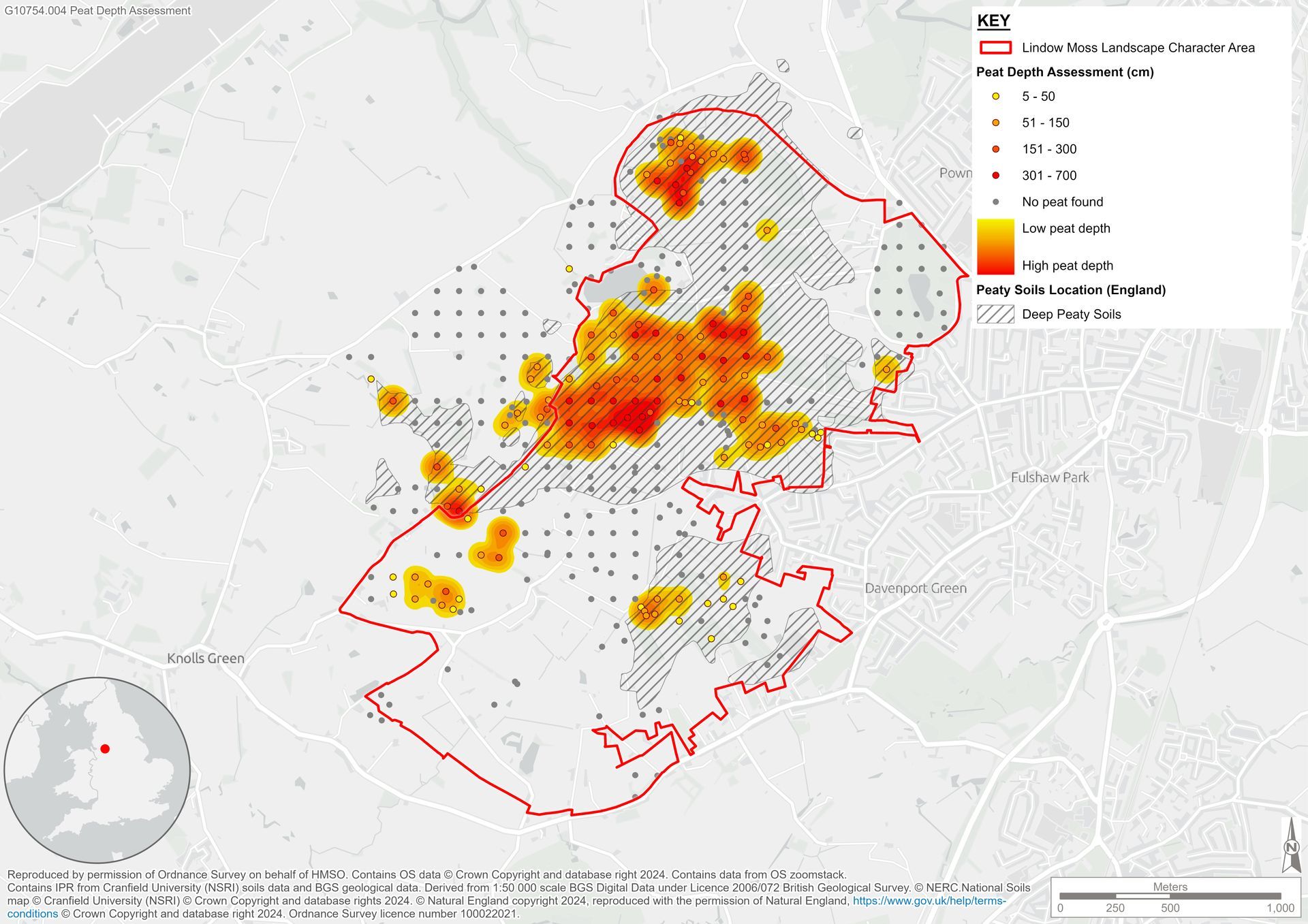
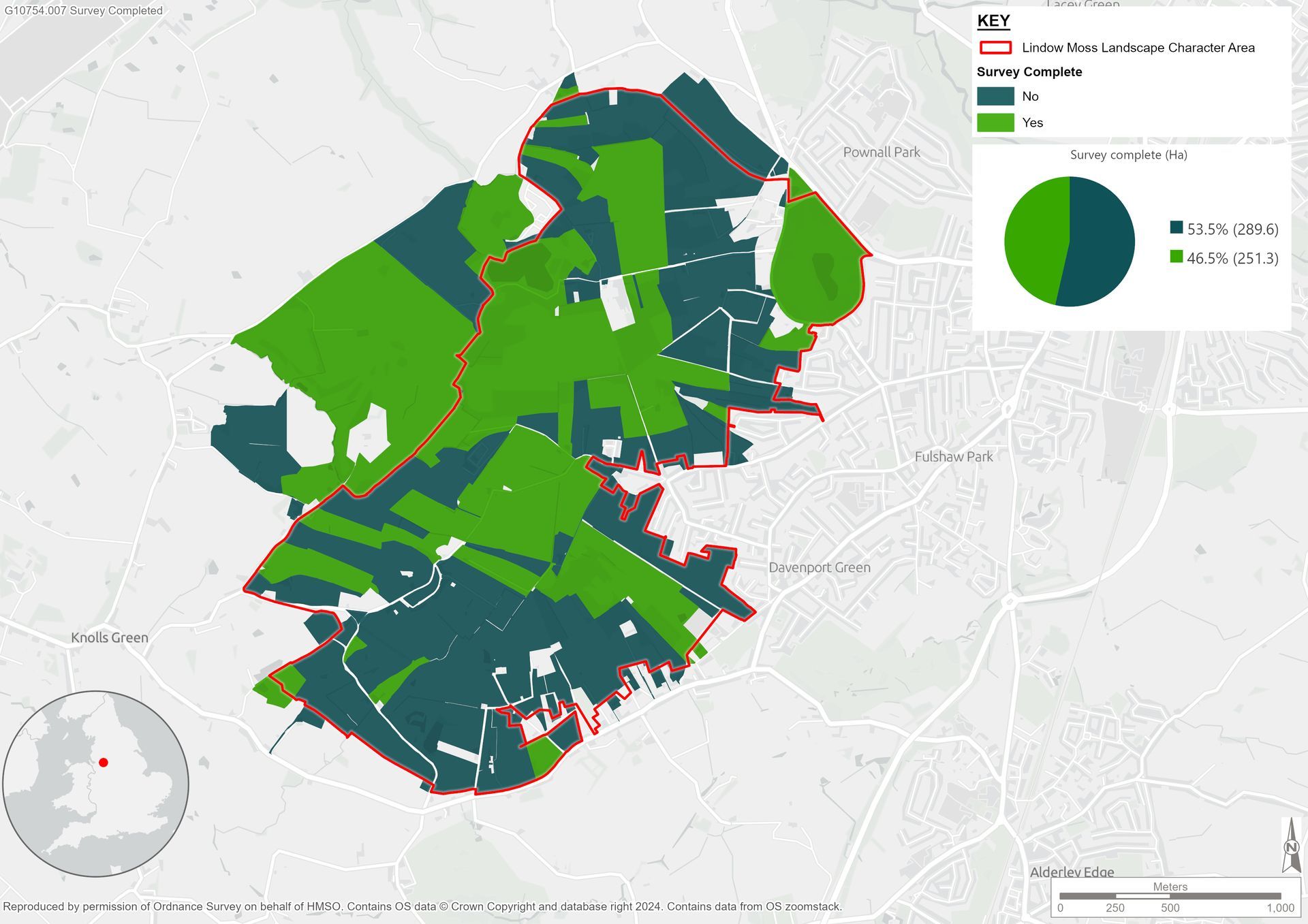
Working closely with Groundwork CLM and landowners, we secured survey access across more than half of the landscape character area. Surveys were conducted using a bespoke ArcGIS Field Maps tool, following elements of the Peatland Code methodology to record peat depth and condition, key ecological indicators, drainage features, grazing impacts, and soil core analyses.
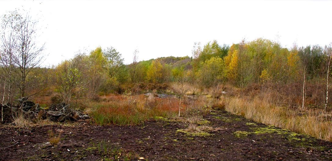
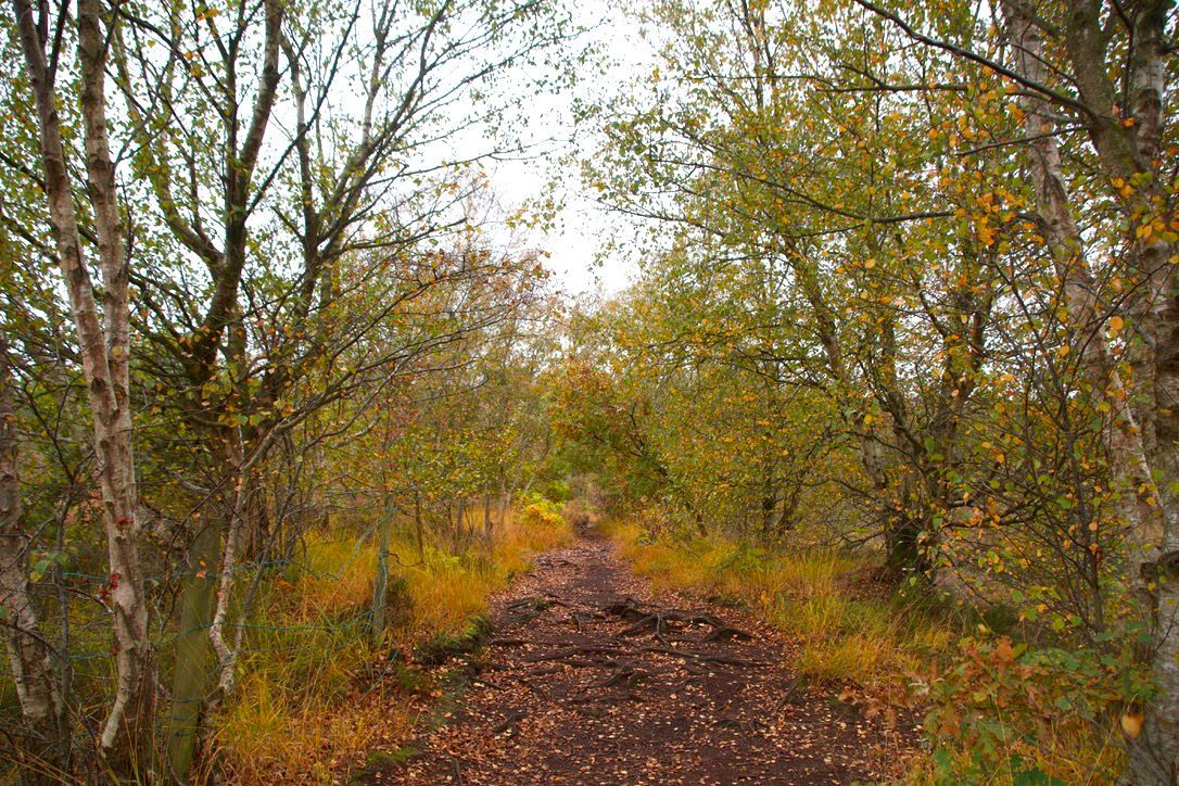
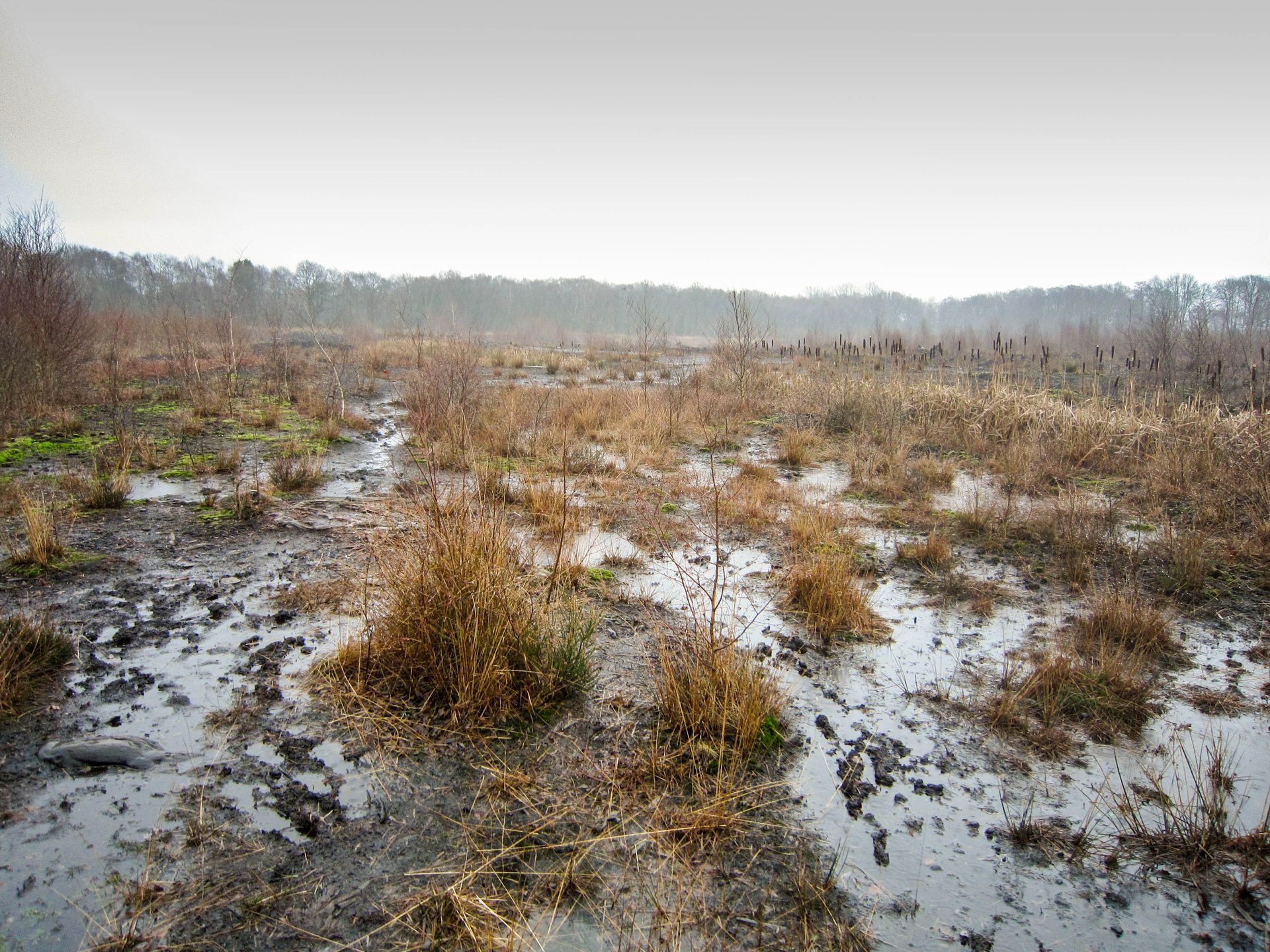
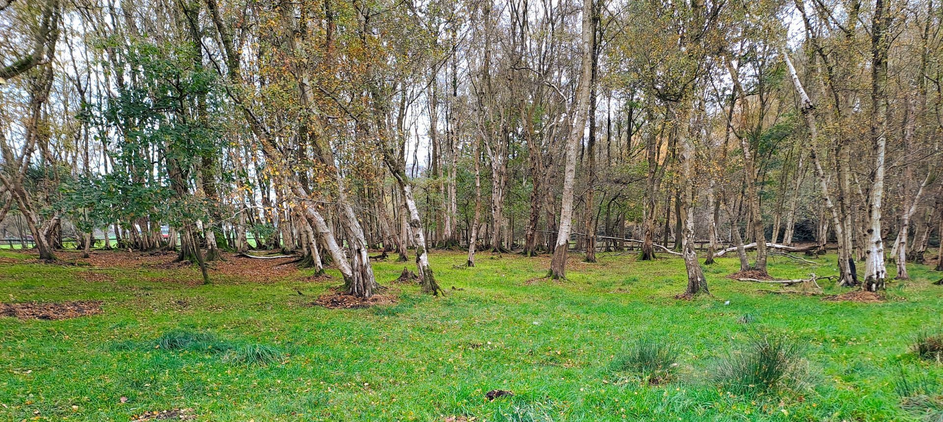
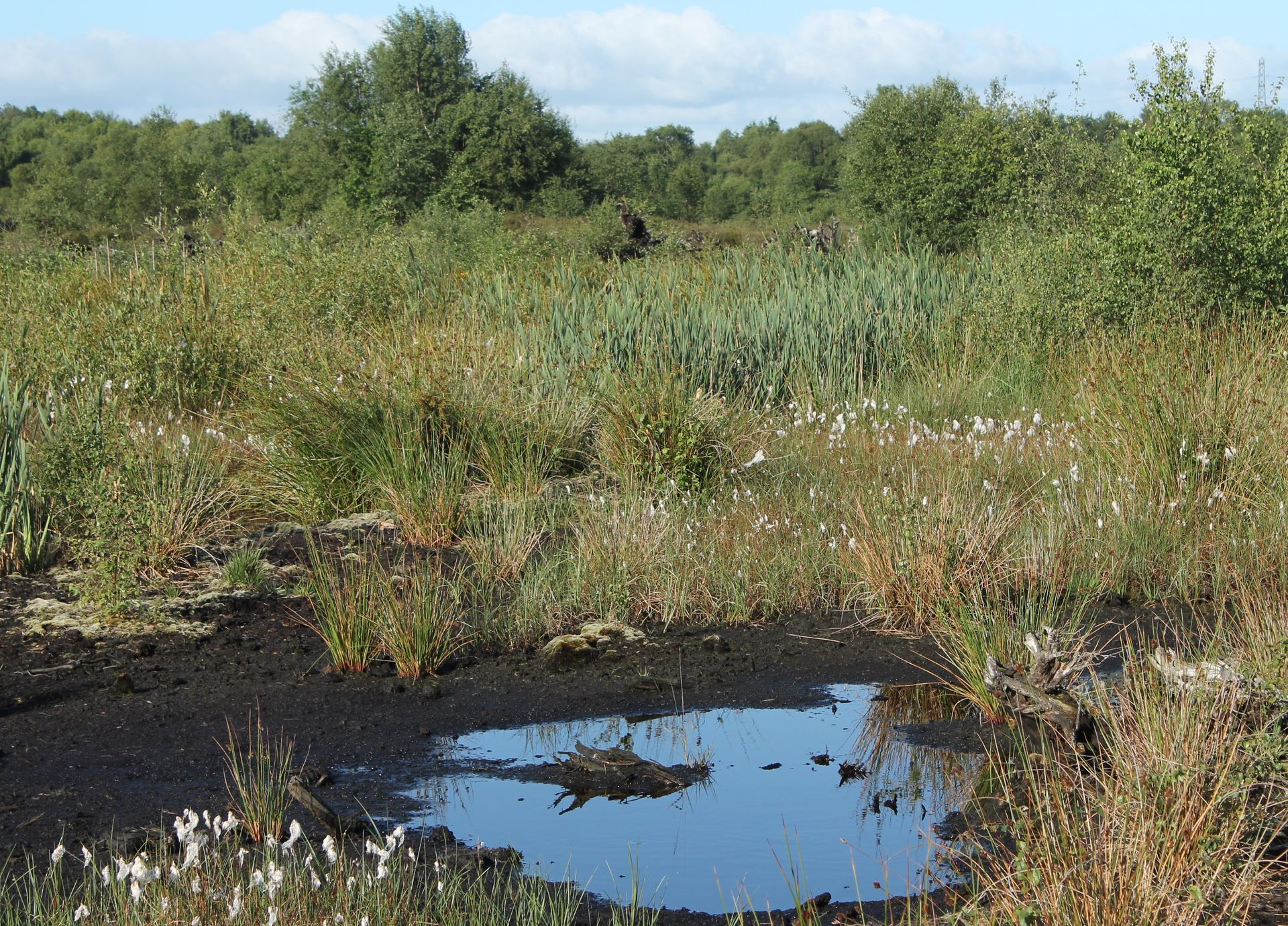
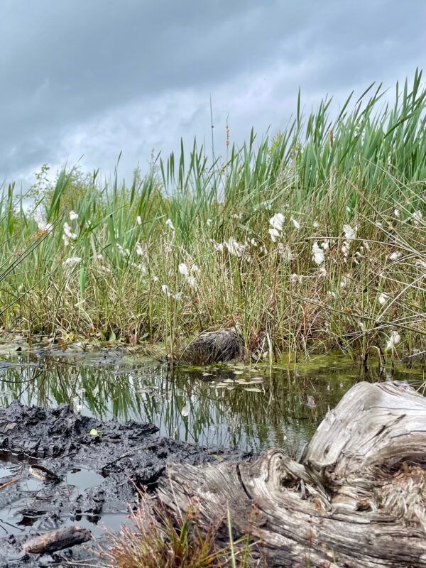
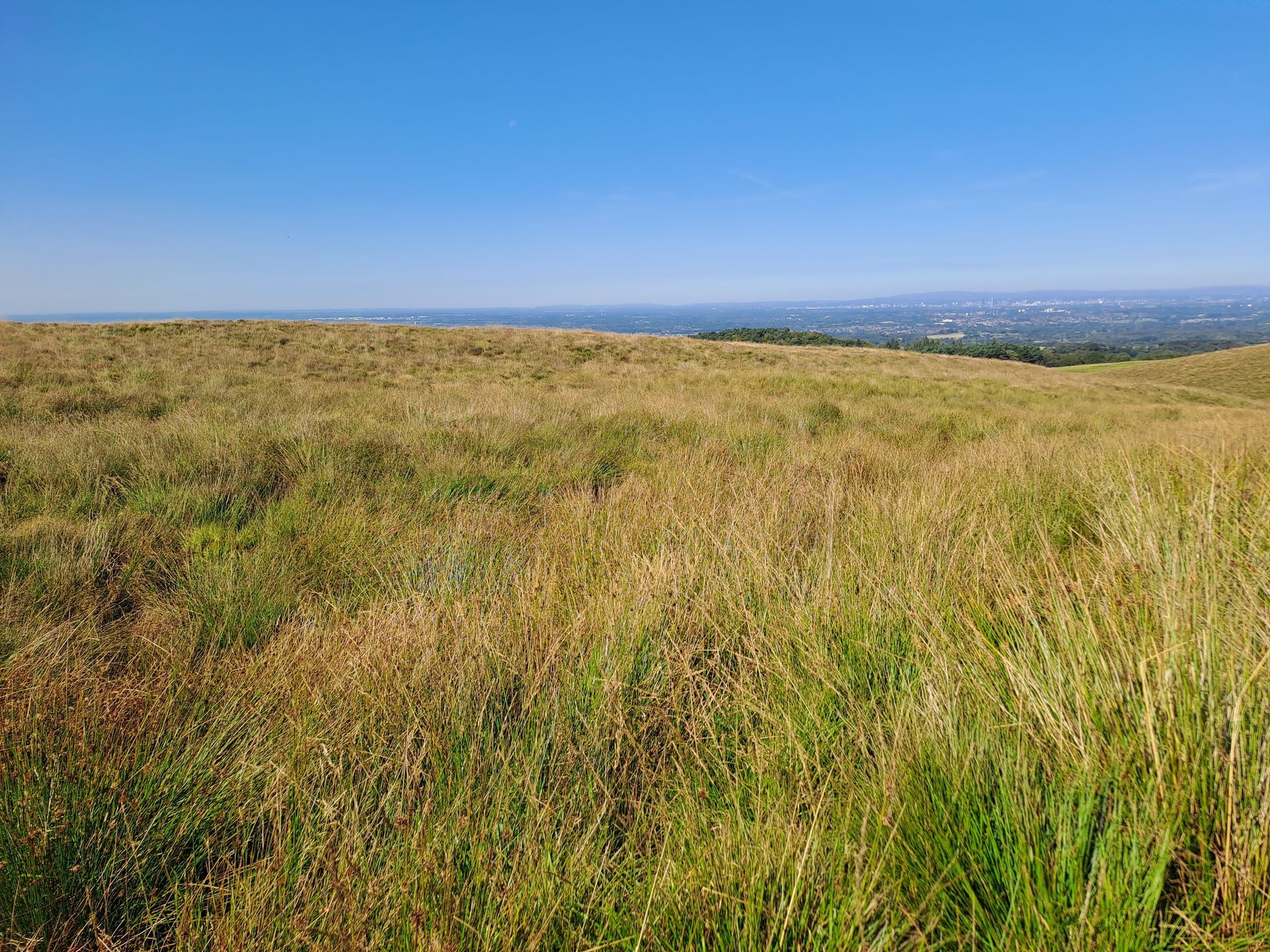
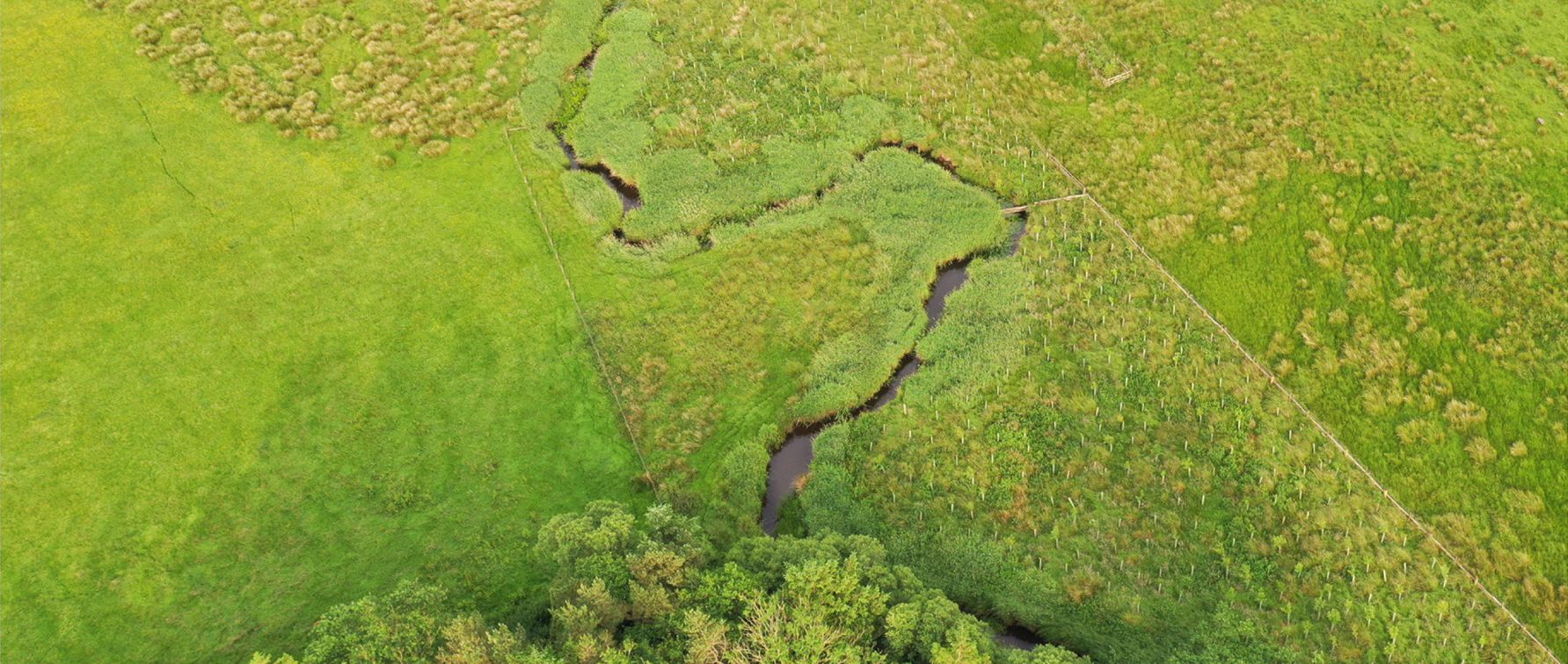
Over 760 hectares were surveyed, capturing 976 data points. Habitats recorded included blanket bog, deep peat, fenland, upland moor, and grazed grassland, with peat depths ranging up to 9.5 m (average 1.85 m). Hydrological mapping recorded catchment boundaries, artificial drainage, and flow pathways.
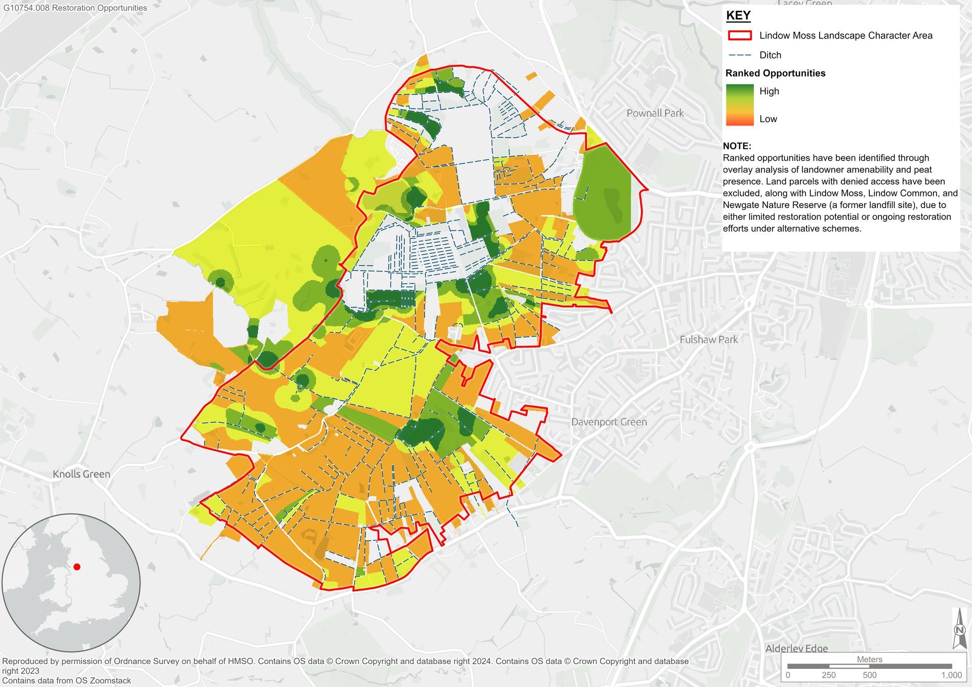
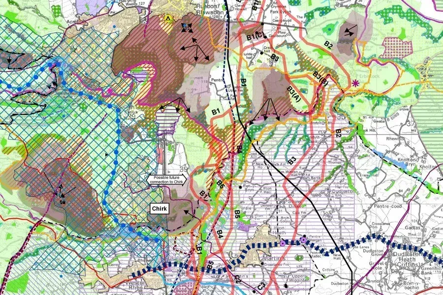
Data were analysed using Multi-Criteria Decision Analysis to generate a landscape restoration opportunity map, highlighting areas with the greatest potential for intervention. The HabiTEP modelling tool produced a UKHab habitat map for the full site, currently being ground-truthed with ecological data.
These outputs provide a comprehensive baseline to guide targeted rewetting, habitat recovery, and restoration actions designed to restore carbon storage, recover habitats, and protect biodiversity. The project also supports ongoing community engagement, fostering local stewardship and collaboration to ensure the long-term success of Lindow Moss.