

Geospatial

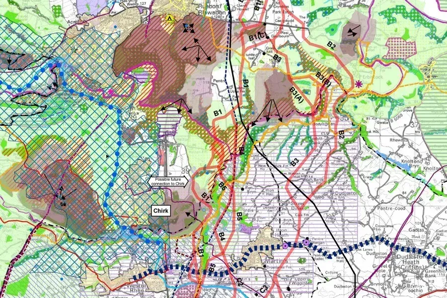
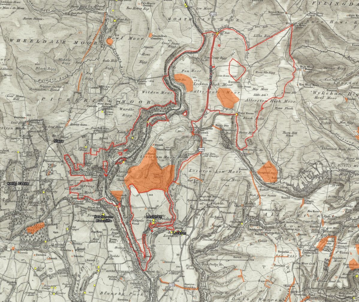
Our Geospatial team applies technical expertise, turning spatial data into practical, innovative insights that help clients make informed decisions and deliver successful projects. We translate complex information into clear, actionable outputs, ensuring mapping and analysis tools are used effectively throughout a project’s lifecycle.

With experience across multiple sectors, we ensure geospatial data is captured, managed, and presented accurately, efficiently, and tailored to project objectives.


Our outputs are informative, easy to use, and designed to support confident decision-making.

We work closely with clients and colleagues to integrate geospatial information seamlessly into wider project delivery. By combining technical skill with a practical, solution-focused approach, we help clients unlock the full value of their data, delivering innovative outcomes that benefit people, places, and the environment.

Geospatial SERVICES

Geospatial Projects

YOUR Geospatial EXPERTS

Our geospatial experts combine years of experience with a professional, friendly service. As highly qualified specialists, they provide strategic direction, project leadership and technical expertise, supported by a wider team of skilled and competent professionals who help ensure successful project delivery at every stage. They are Members of the Royal Geographical Society (RGS) and Chartered Members of the Landscape Institute (LI).