Lyme Park Peat Mapping and Soil Survey
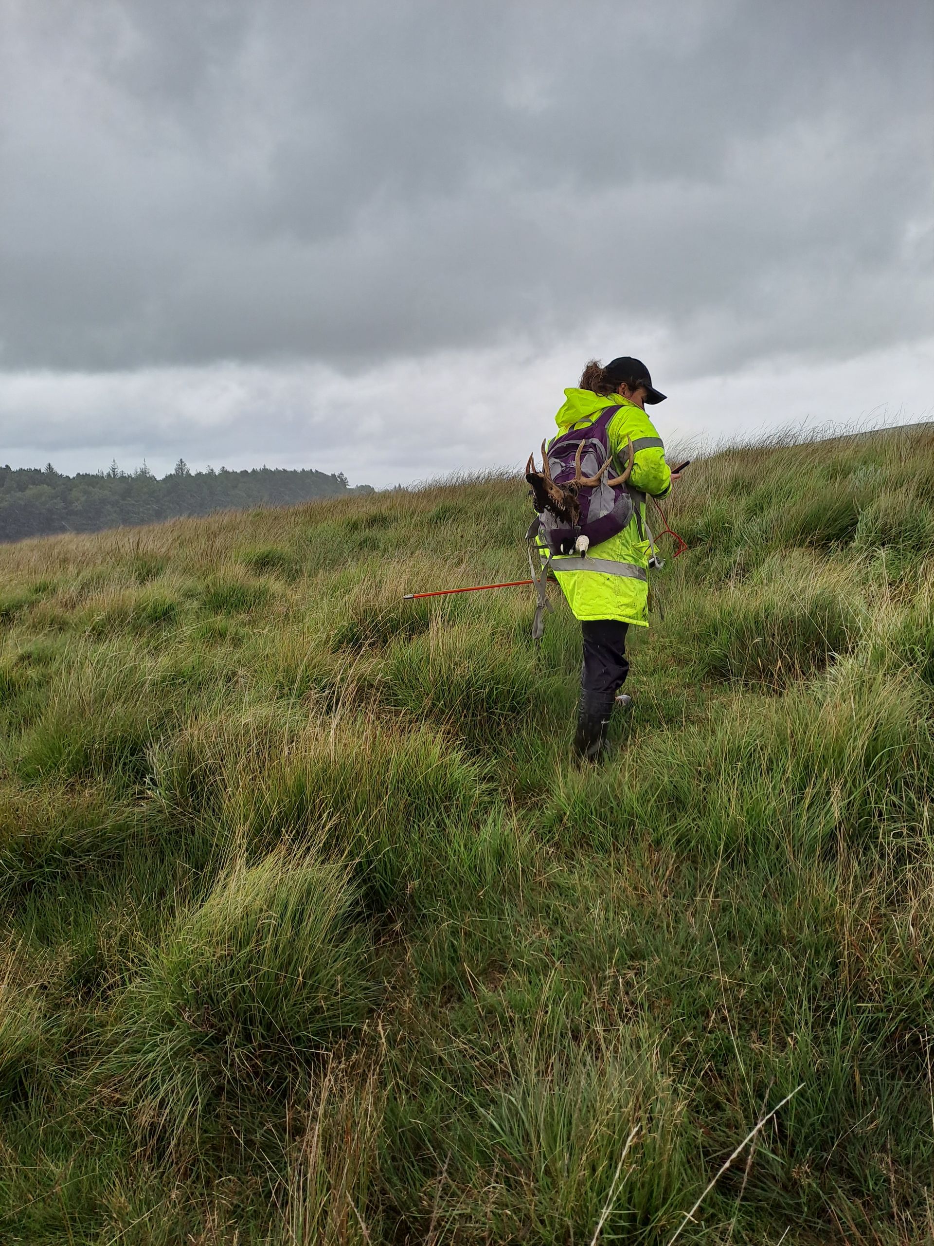
We were commissioned by the National Trust to assess the condition, depth and restoration requirements of peat and drainage systems on the Lyme Park moorland. This included additional soil samples to assess soil organic content, worm count and soil structure. Soil samples around an on-site deer feeding station were additionally assessed for soil nutrient status.
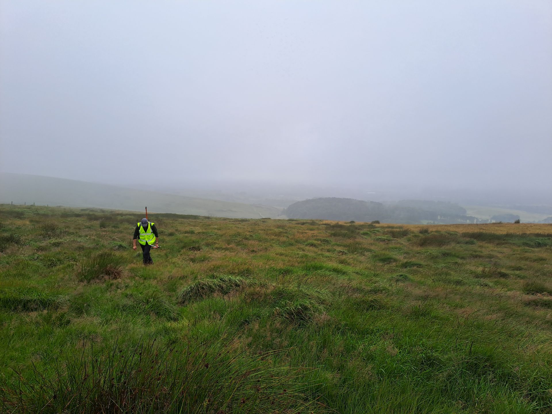
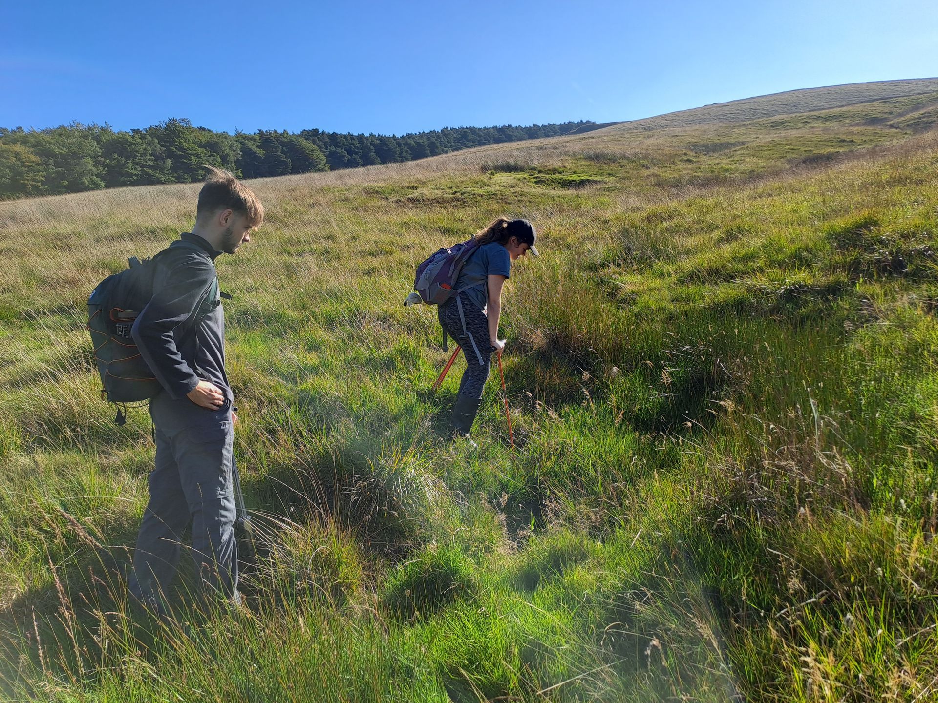
The peat survey was carried out using the Peatland Code methodology, including peat depth and condition assessments, as well as observations on sphagnum moss presence and hydrological features. This survey was commissioned to inform where management would be suitable to improve habitat and hydrological conditions across the site. The data provided can be used to prioritise areas and measures for restoration.
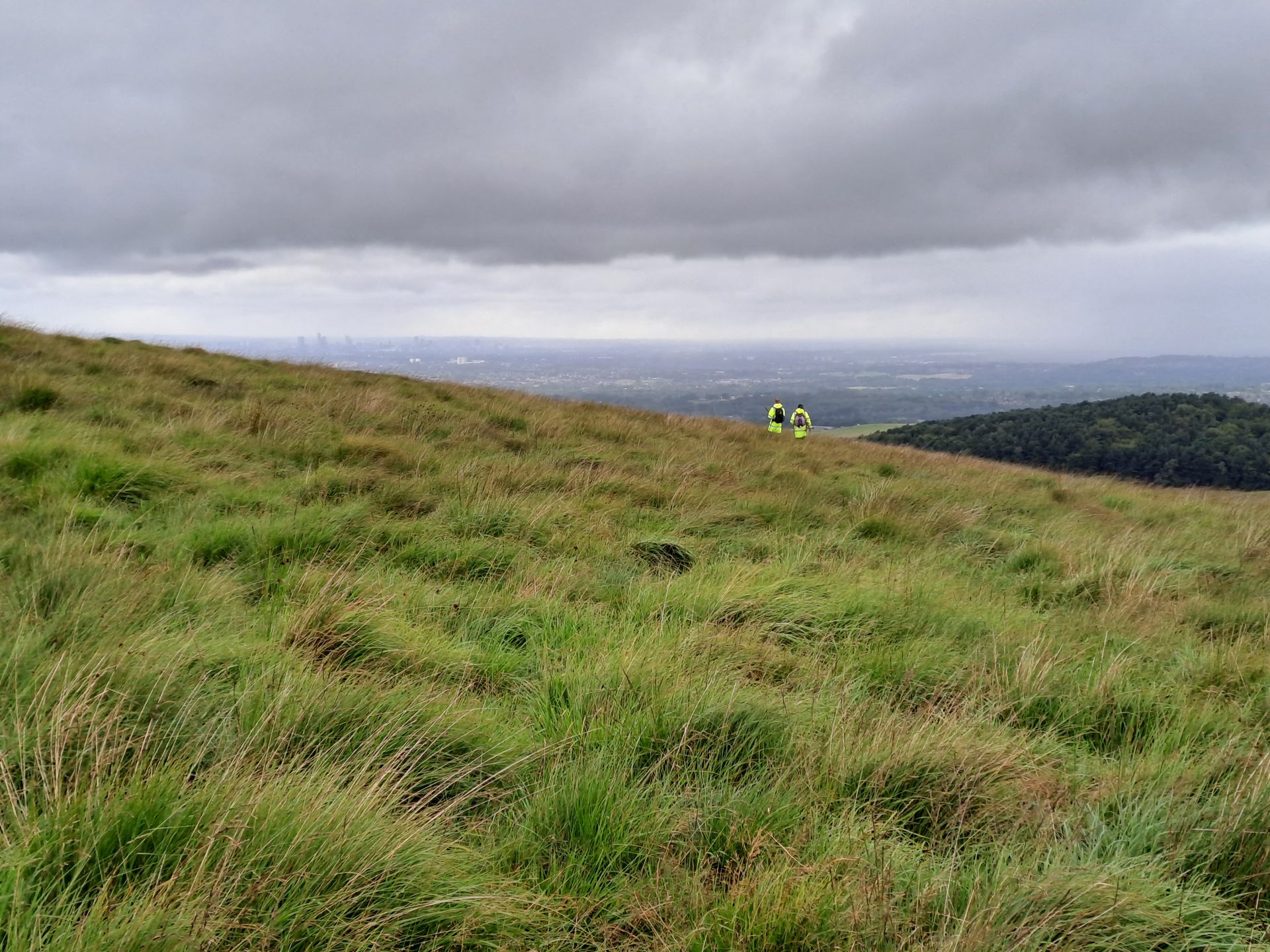
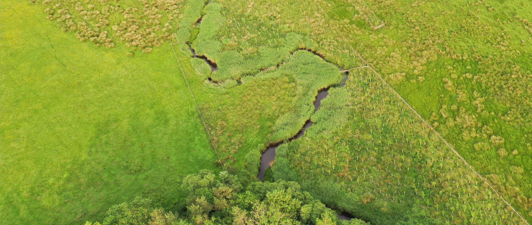
The project involved an initial desk-based study of LiDAR data and aerial imagery to identify areas and features for further investigation. Subsequent onsite surveys allowed more detailed examination, with soil samples sent to a laboratory for analysis. Drainage features were also mapped across the site, allowing future potential for Natural Flood Management mitigation measures to be assessed.
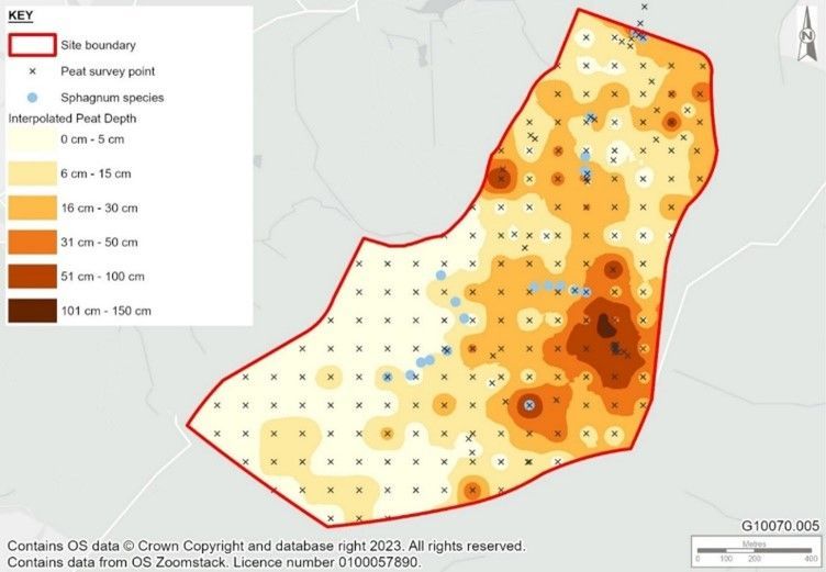
A total of 216 survey points were collected across the southern moorland, an area historically degraded by extensive draining and land management practices, resulting in peat that remains largely modified or degraded. The site therefore had both a large existing soil carbon content, and abundant opportunity for further sequestration through peatland and hydrological function restoration.
An interpolated peat depth map was produced, along with other outputs, in a bespoke webmap form for ease of access for the client, along with a detailed drainage feature, peat and soil survey report.