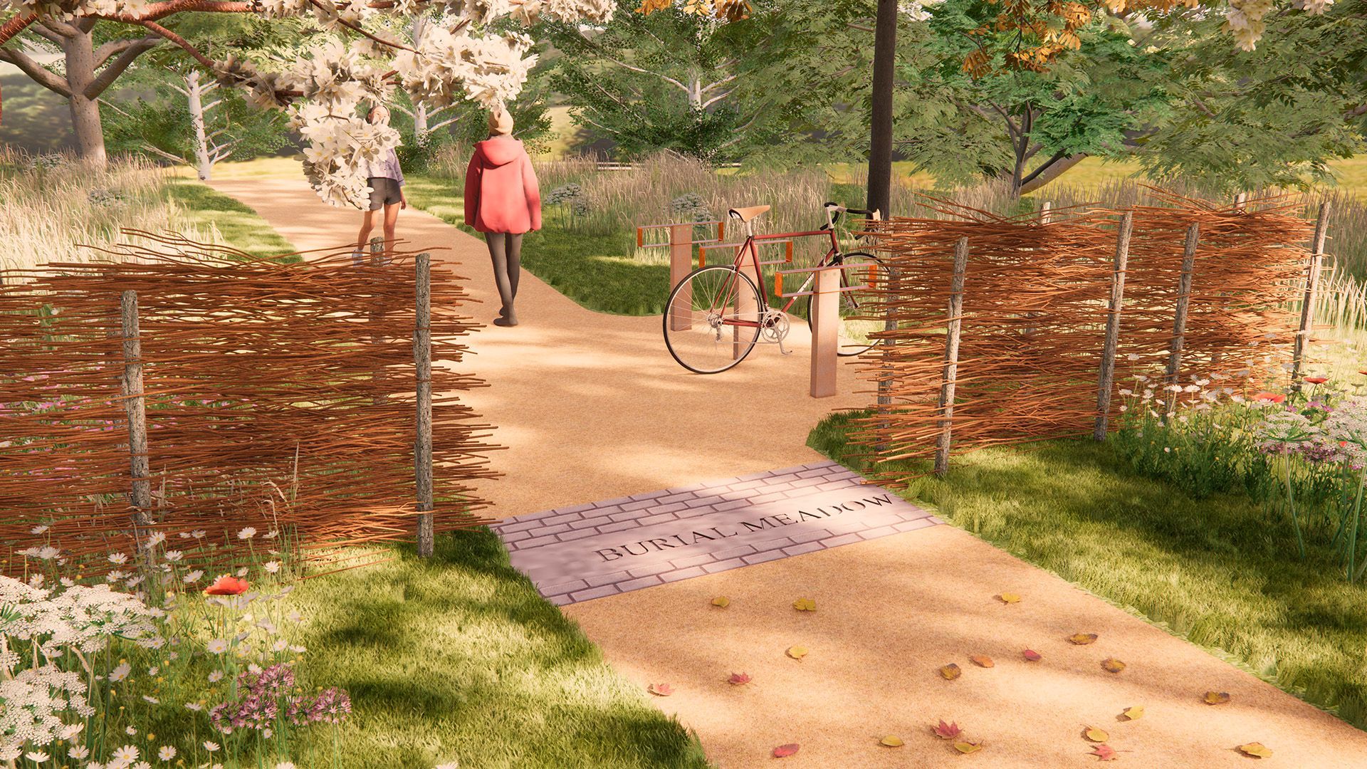


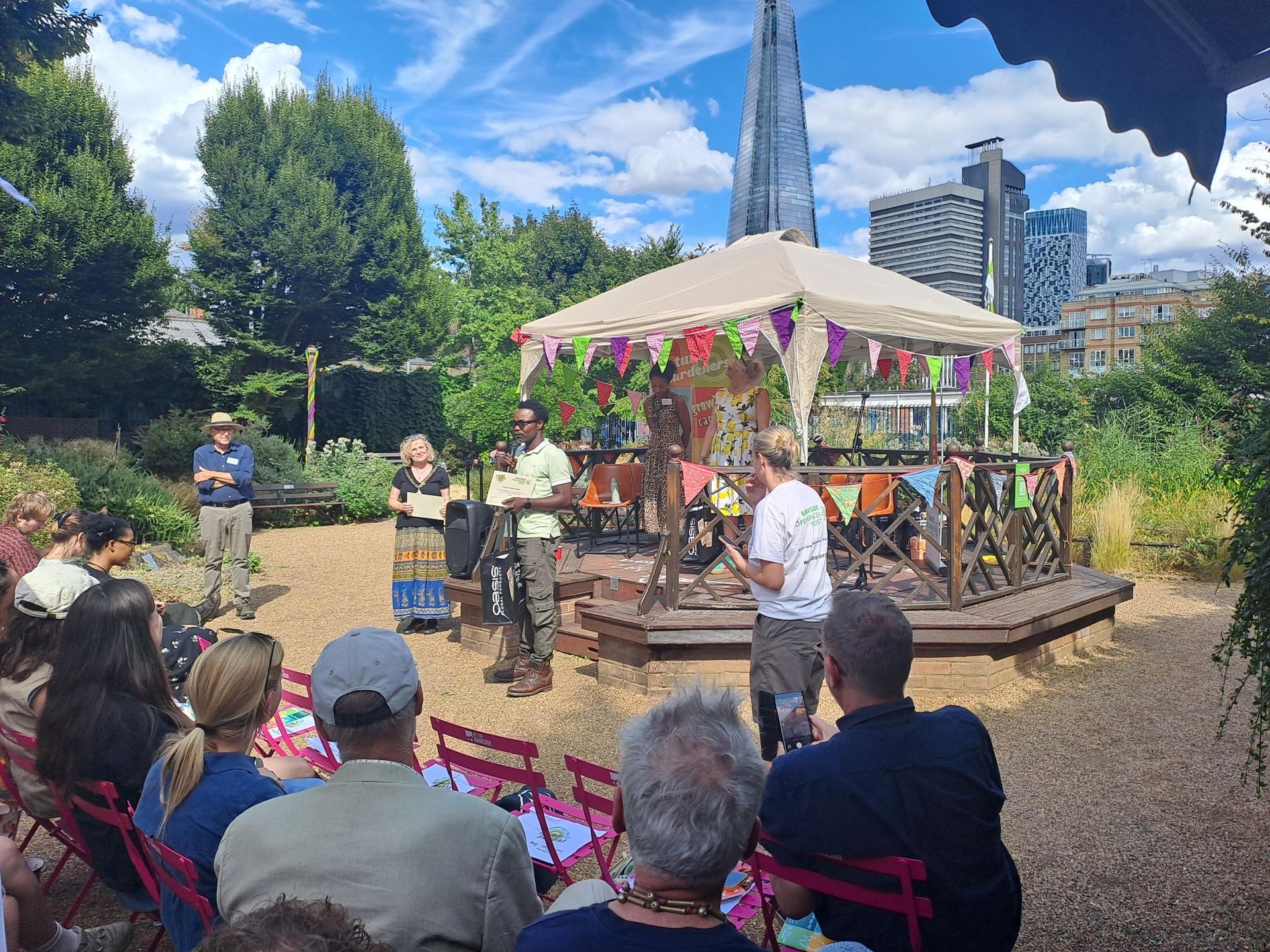
This year marks the 10th anniversary of Future Gardeners, Routes into Horticulture and the Natural Environment, an award-winning programme dedicated to helping people access careers in horticulture and the wider green sector. To celebrate this milestone, TEP's Tom Young joined partners, supporters and alumni at the 10 year anniversary event in London to recognise and celebrate the invaluable work it has delivered over the past decade. Established by Bankside Open Spaces Trust and the Worshipful Company of Gardeners in 2016, the programme was designed to open doors into horticulture and the natural environment through practical training, hands-on work experience and valuable industry connections. Over the last 10 years, it has empowered countless participants to gain the skills, confidence and qualifications needed to launch their careers. Today, with more than 80% progressing into further training, apprenticeships or employment, the programme is helping to shape the next generation of horticultural and environmental professionals. Future Gardeners combines hands-on learning with work placements across parks, gardens and green spaces throughout London, giving participants valuable real-world experience alongside accredited training, including City & Guilds qualifications. By covering costs such as travel and equipment, the programme helps remove barriers that can prevent people from accessing opportunities within the sector.

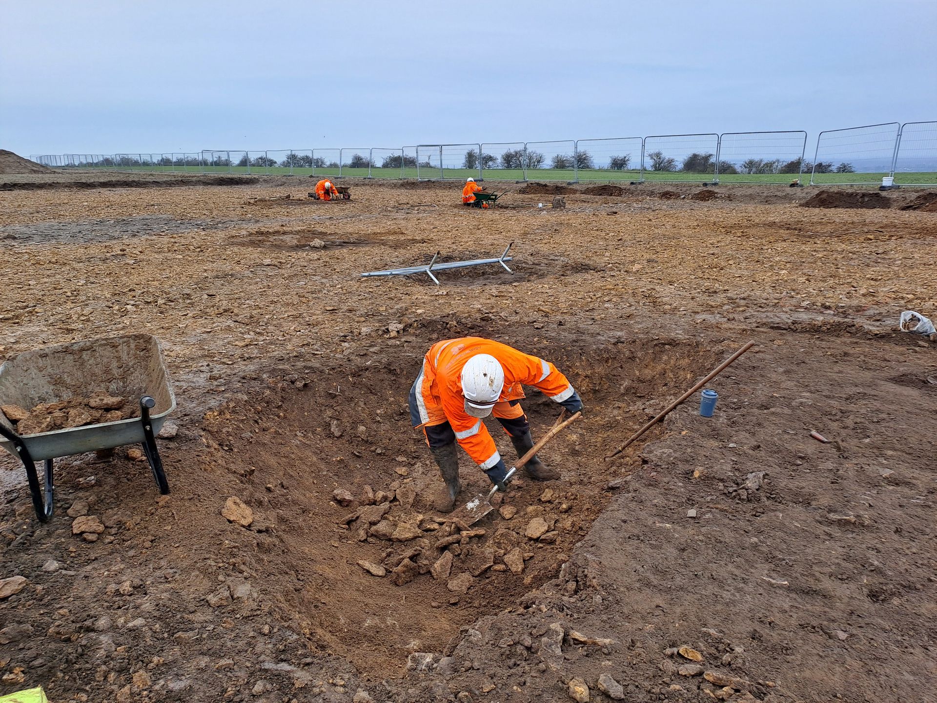
Our Historic Environment and Archaeology team has helped uncover a remarkable chapter of Preston's industrial heritage.

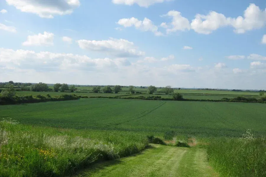
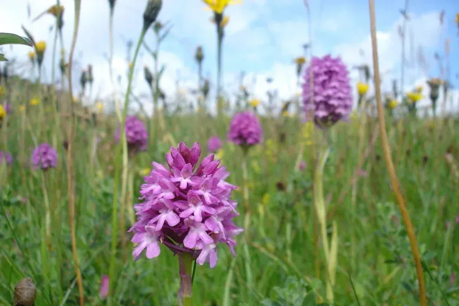
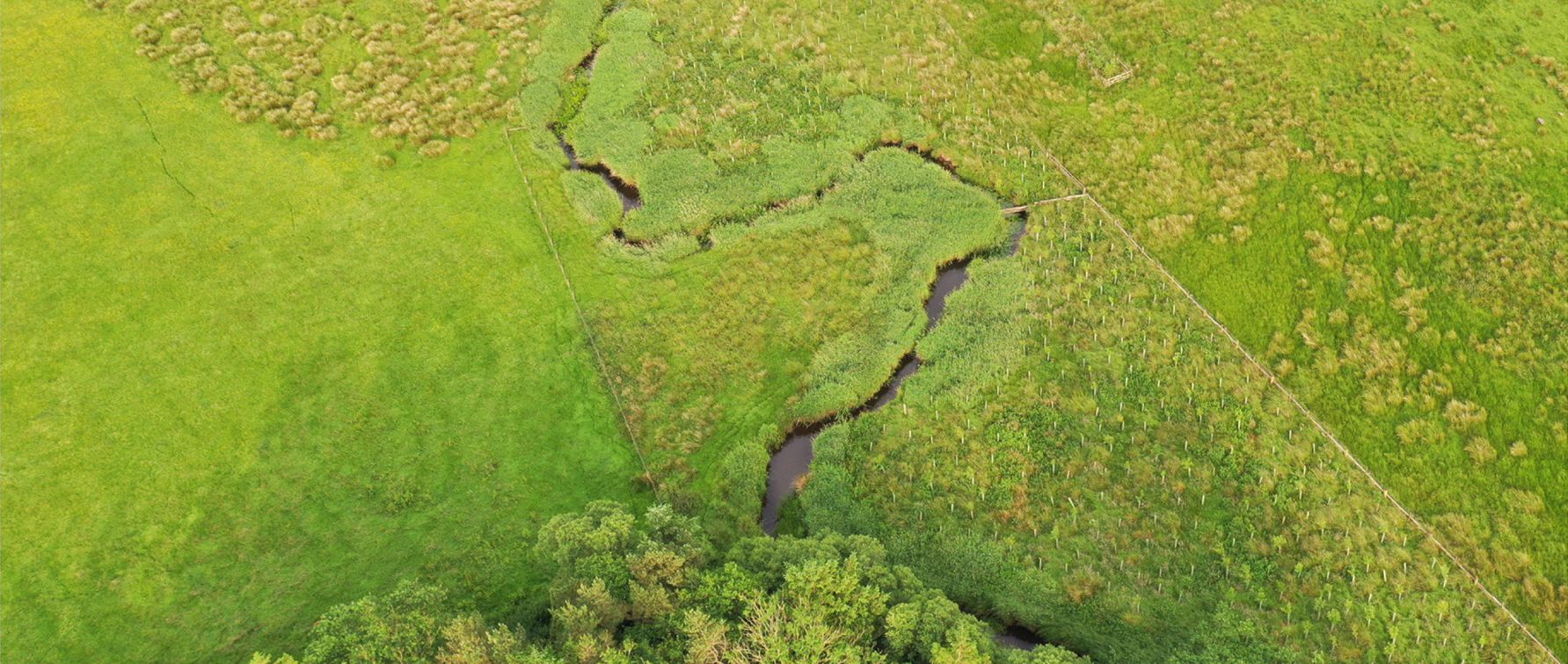
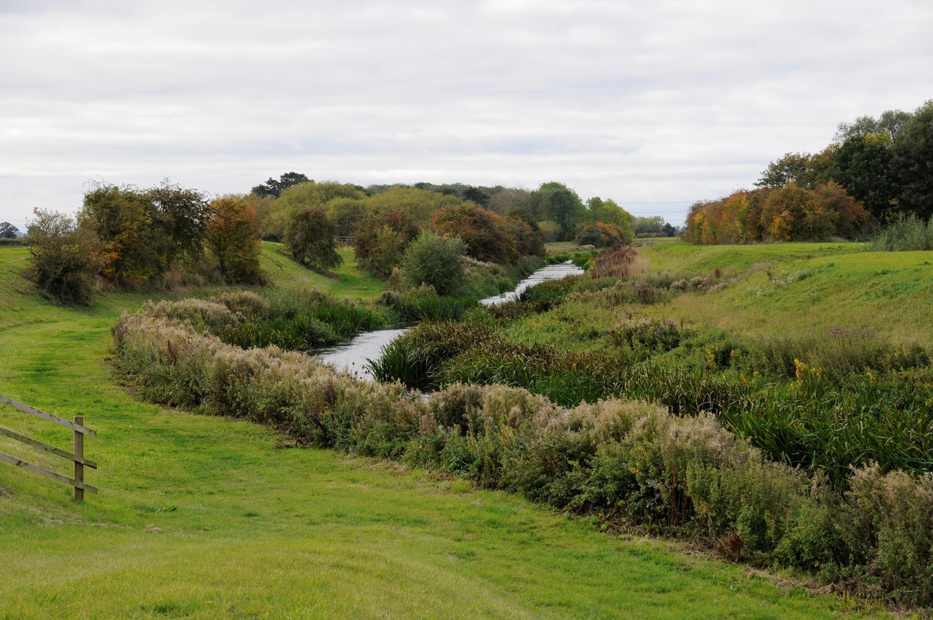
Well known Invasive-Non-Native Species (INNS) are widely understood, however the threat of new and emerging INNS across the UK is real.
This year marks the 10th anniversary of Future Gardeners, Routes into Horticulture and the Natural Environment, an award-winning programme dedicated to helping people access careers in horticulture and the wider green sector. To celebrate this milestone, TEP's Tom Young joined partners, supporters and alumni at the 10 year anniversary event in London to recognise and celebrate the invaluable work it has delivered over the past decade. Established by Bankside Open Spaces Trust and the Worshipful Company of Gardeners in 2016, the programme was designed to open doors into horticulture and the natural environment through practical training, hands-on work experience and valuable industry connections. Over the last 10 years, it has empowered countless participants to gain the skills, confidence and qualifications needed to launch their careers. Today, with more than 80% progressing into further training, apprenticeships or employment, the programme is helping to shape the next generation of horticultural and environmental professionals. Future Gardeners combines hands-on learning with work placements across parks, gardens and green spaces throughout London, giving participants valuable real-world experience alongside accredited training, including City & Guilds qualifications. By covering costs such as travel and equipment, the programme helps remove barriers that can prevent people from accessing opportunities within the sector.
Our Historic Environment and Archaeology team has helped uncover a remarkable chapter of Preston's industrial heritage.
Well known Invasive-Non-Native Species (INNS) are widely understood, however the threat of new and emerging INNS across the UK is real.