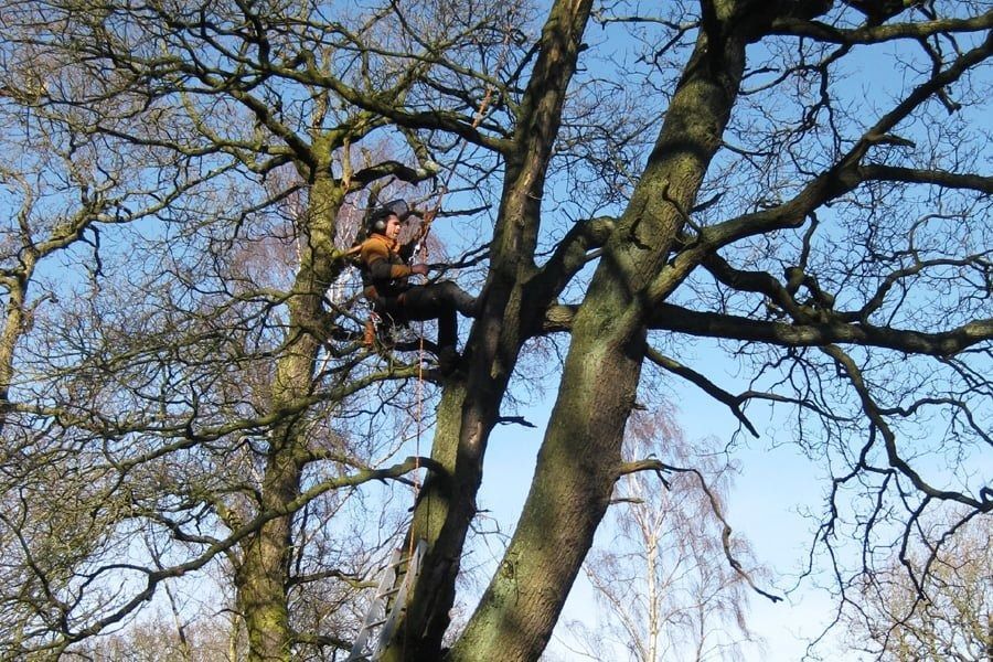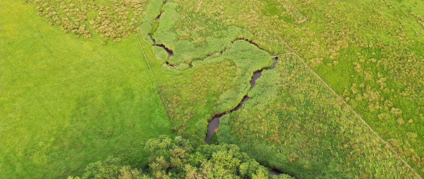


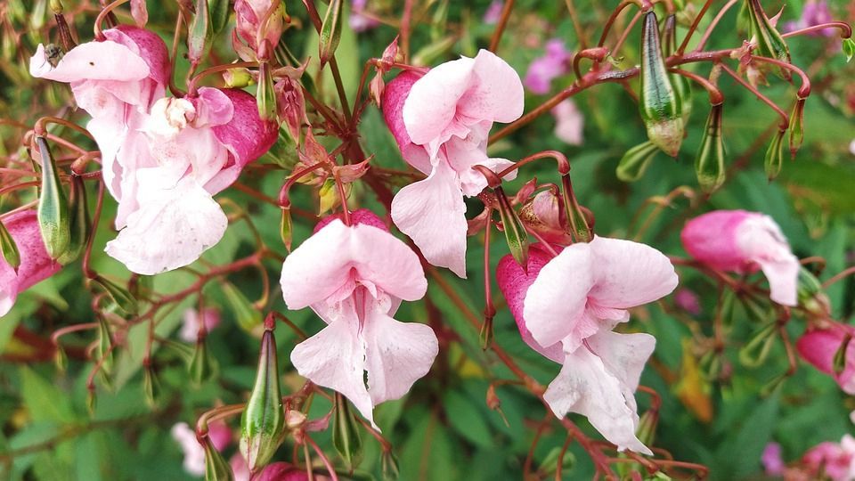
Well known Invasive-Non-Native Species (INNS) are widely understood, however the threat of new and emerging INNS across the UK is real.
INNS compliance should be integrated into project planning at the earliest stage, as well as site management, and delivery. We discuss key measures for the management of floral INNS.
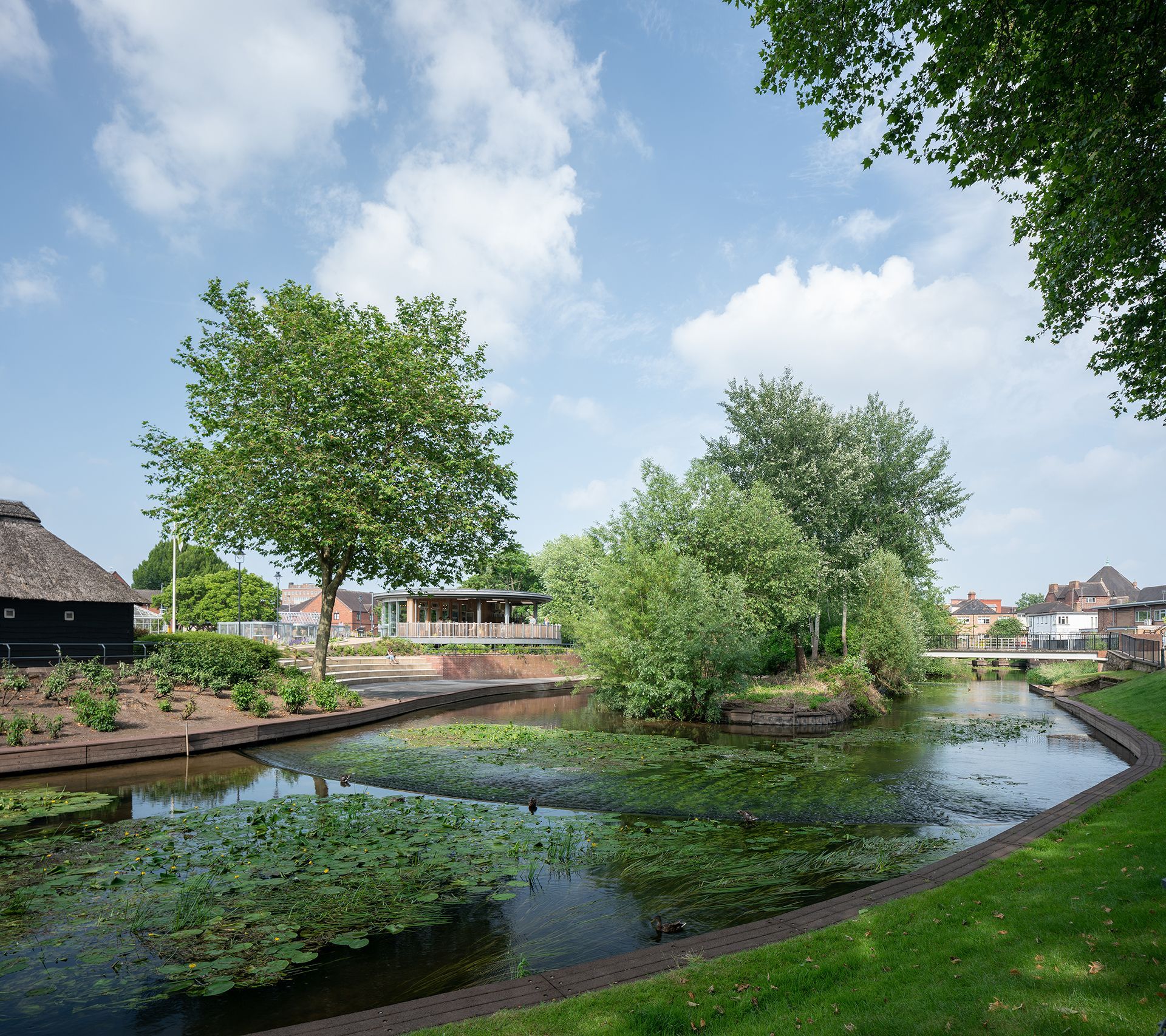
On behalf of Cheshire East Council, TEP has secured consent for the expansion of the Environmental Services Hub site. The expansion will facilitate a weekly food waste collection service for every property in the borough, helping Cheshire East Council prepare for a new statutory requirement from central government due to come into force from 2026-2027. To achieve this, we prepared and managed three planning applications: A full application for 84 new employee parking spaces, a bin storage area and a security lodge; A non-material amendment application for the reconfiguration of the existing site layout; and A variation of condition application to increase the limit on vehicle movements. The project began with a pre-application advice request, followed by discussions with the local planning authority to confirm the applications and supporting information required for submission. A key element of the project was the preparation of a planning needs case. This justified the development remaining at the Environmental Services Hub site, rather than a 'preferred site' identified within the council's Waste Plan. The case also identified the benefits of increasing recycling rates and supporting sustainable waste management across the borough. To support the applications, traffic surveys were commissioned and a Transport Statement was prepared, demonstrating that the proposals would have no negative impact on the local highway network. A Transport Note was also produced to establish the number of vehicle movements that should be permitted through the variation of condition application. Air quality and noise assessments were also undertaken to demonstrate that impacts would be limited and acceptable.
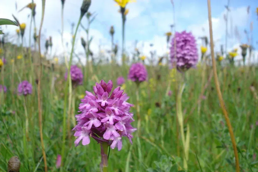
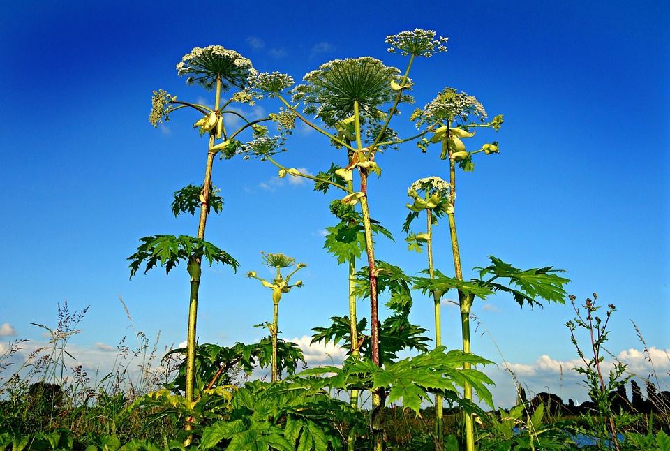
Well known Invasive-Non-Native Species (INNS) are widely understood, however the threat of new and emerging INNS across the UK is real.
INNS compliance should be integrated into project planning at the earliest stage, as well as site management, and delivery. We discuss key measures for the management of floral INNS.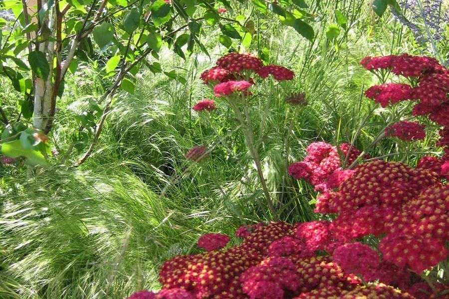
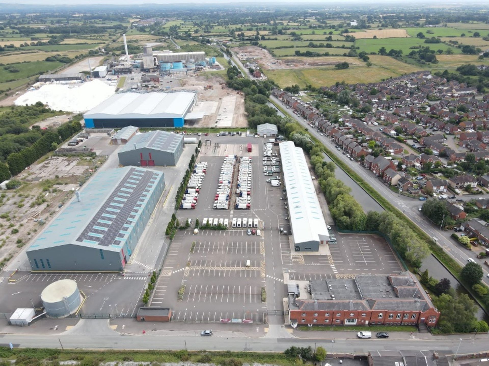
On behalf of Cheshire East Council, TEP has secured consent for the expansion of the Environmental Services Hub site. The expansion will facilitate a weekly food waste collection service for every property in the borough, helping Cheshire East Council prepare for a new statutory requirement from central government due to come into force from 2026-2027. To achieve this, we prepared and managed three planning applications: A full application for 84 new employee parking spaces, a bin storage area and a security lodge; A non-material amendment application for the reconfiguration of the existing site layout; and A variation of condition application to increase the limit on vehicle movements. The project began with a pre-application advice request, followed by discussions with the local planning authority to confirm the applications and supporting information required for submission. A key element of the project was the preparation of a planning needs case. This justified the development remaining at the Environmental Services Hub site, rather than a 'preferred site' identified within the council's Waste Plan. The case also identified the benefits of increasing recycling rates and supporting sustainable waste management across the borough. To support the applications, traffic surveys were commissioned and a Transport Statement was prepared, demonstrating that the proposals would have no negative impact on the local highway network. A Transport Note was also produced to establish the number of vehicle movements that should be permitted through the variation of condition application. Air quality and noise assessments were also undertaken to demonstrate that impacts would be limited and acceptable.