North Hykeham Relief Road
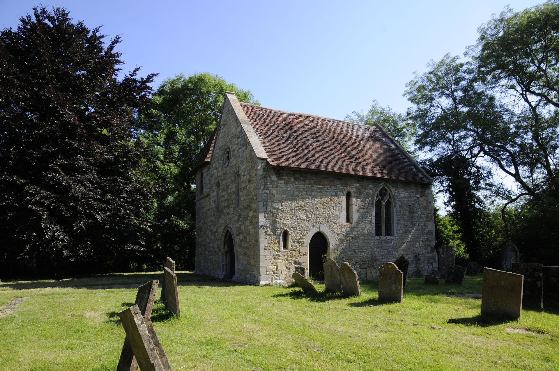
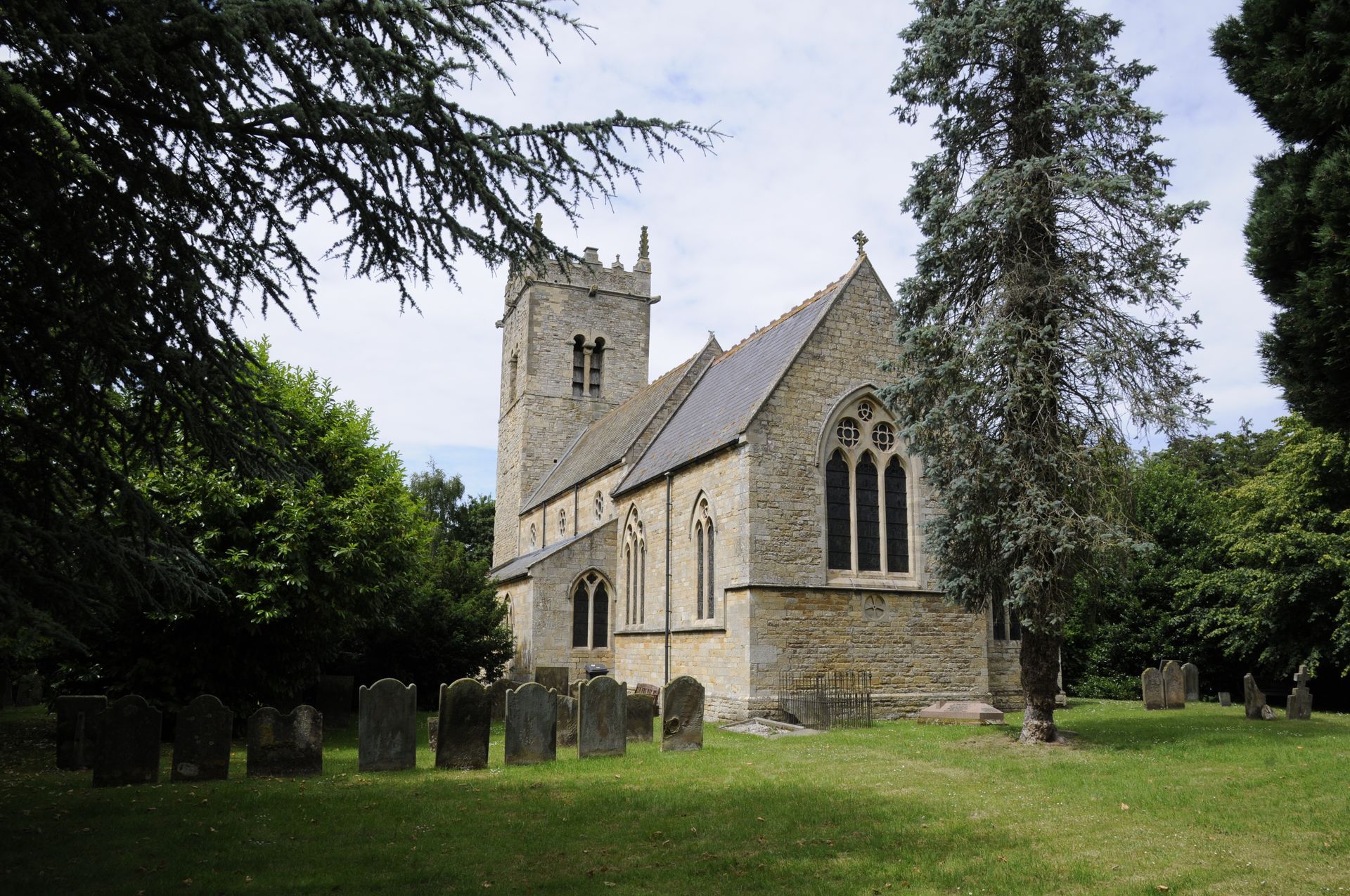
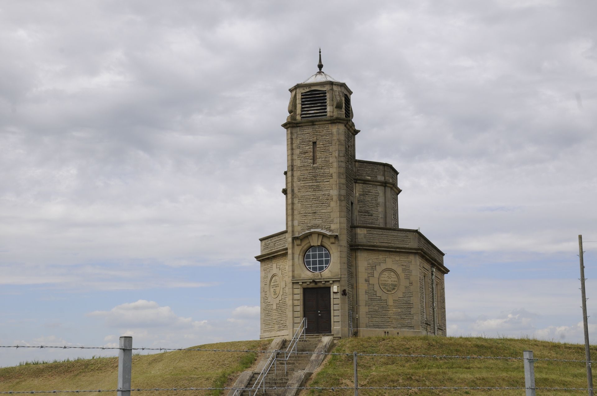
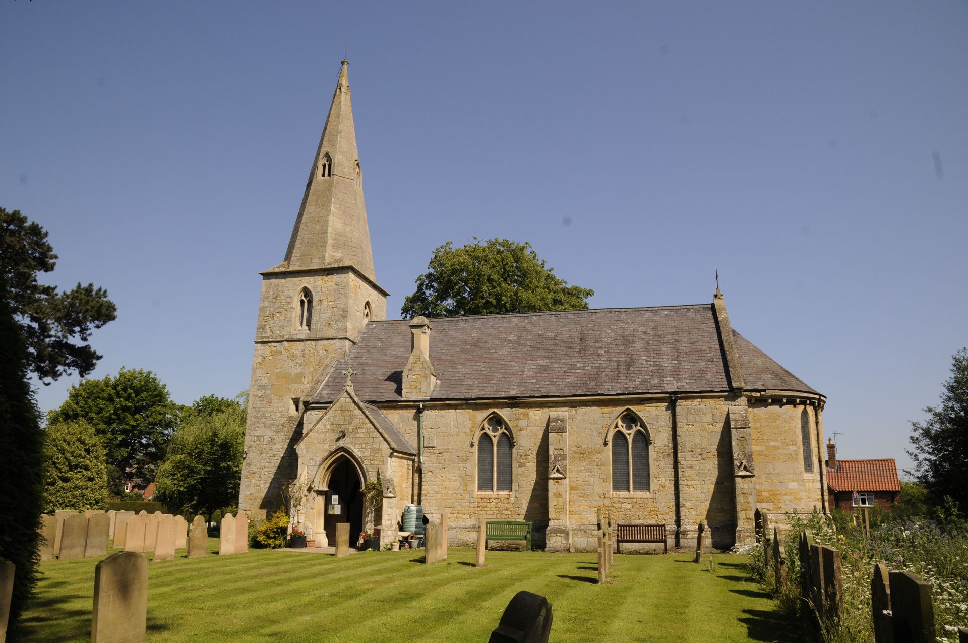
Our Historic Environment and Environmental Planning teams supported the North Hykeham Relief Road (NHRR) project in Lincolnshire, the final quarter of Lincoln’s ring road, a scheme that has featured in Local Plans for around twenty years. Our Historic Environment team undertook scoping and consultation with statutory bodies, producing a technical report appended to the Cultural Heritage Environmental Statement and the Environmental Statement chapter. This established the baseline historic environment, identifying potential constraints relating to both below-ground archaeology and above-ground heritage assets.
The team also managed a staged archaeological evaluation, with our Heritage Manager coordinating all works and providing regular updates. The surveys identified several sites of archaeological interest, including two of potential regional significance.
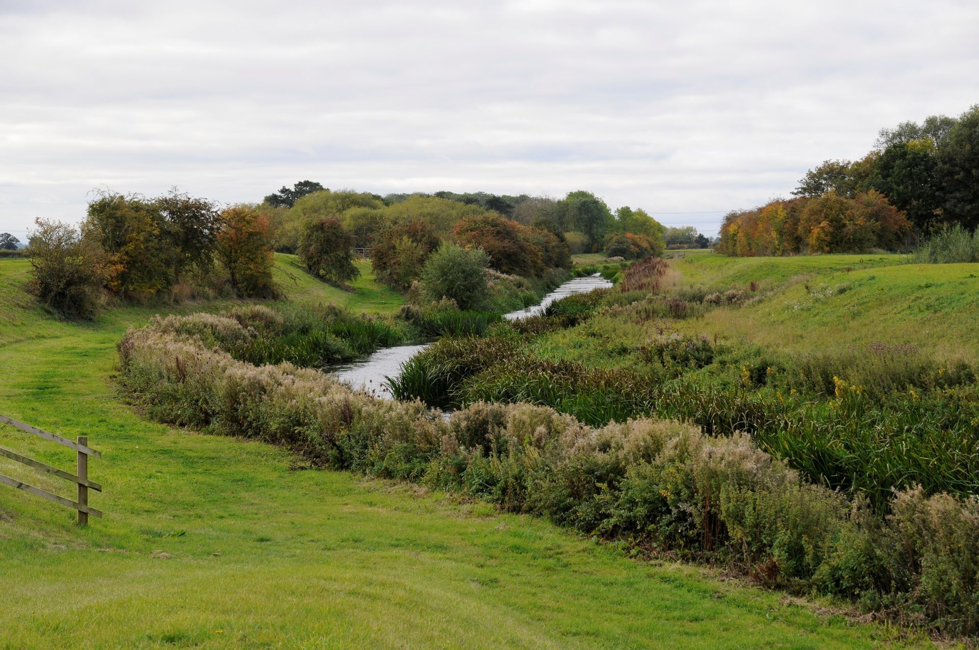
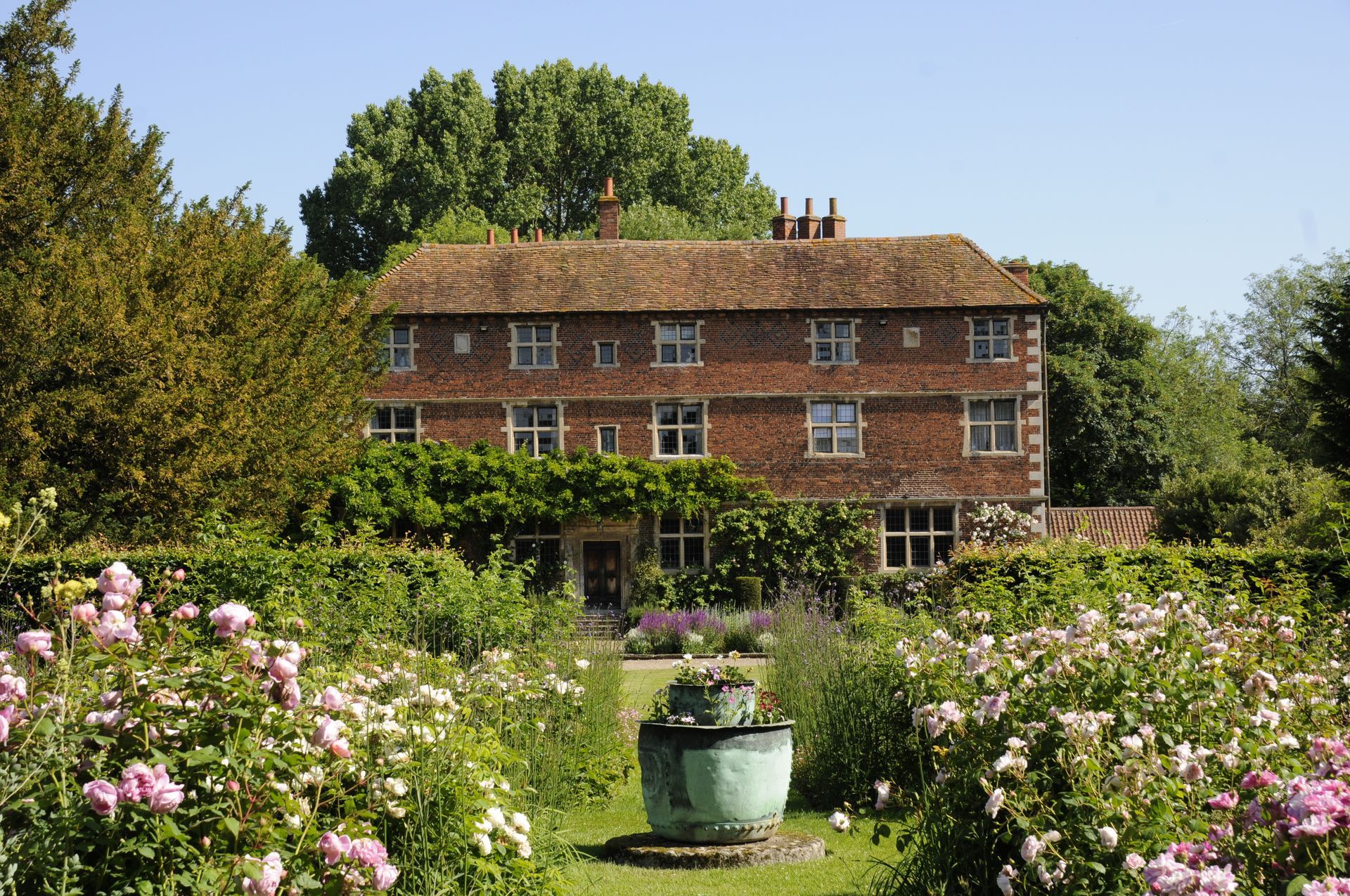
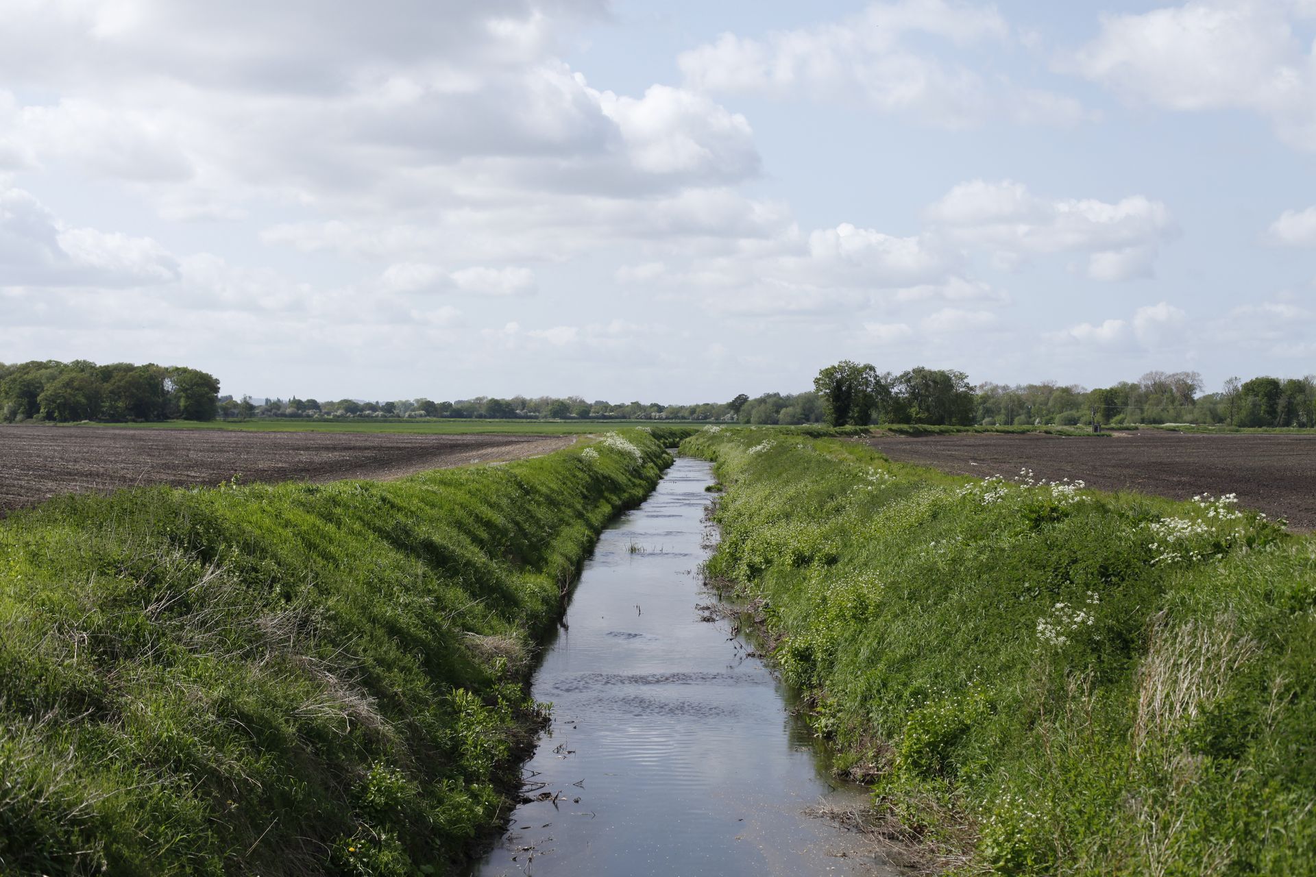
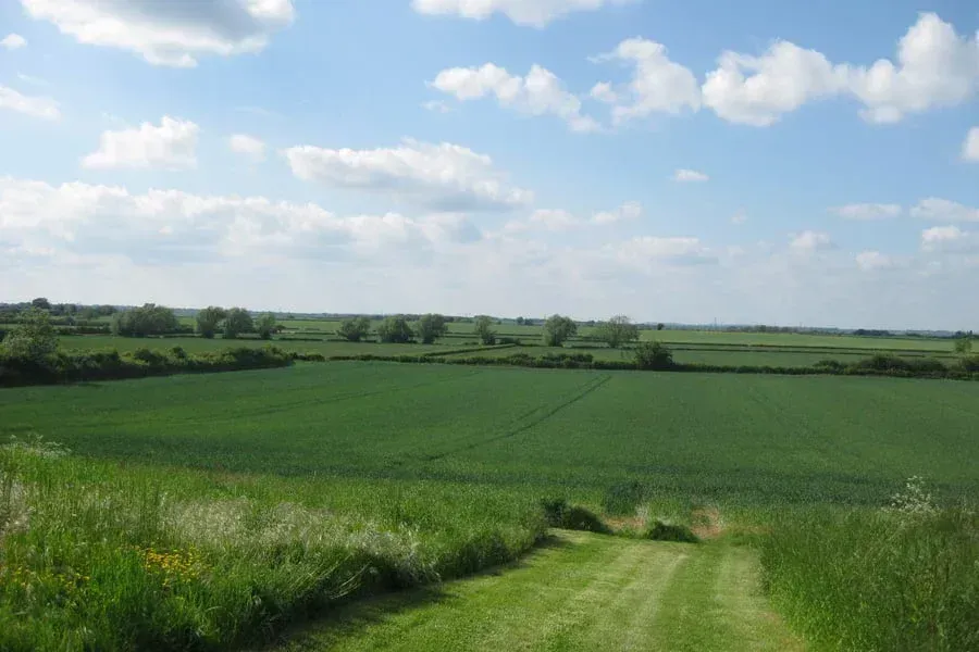
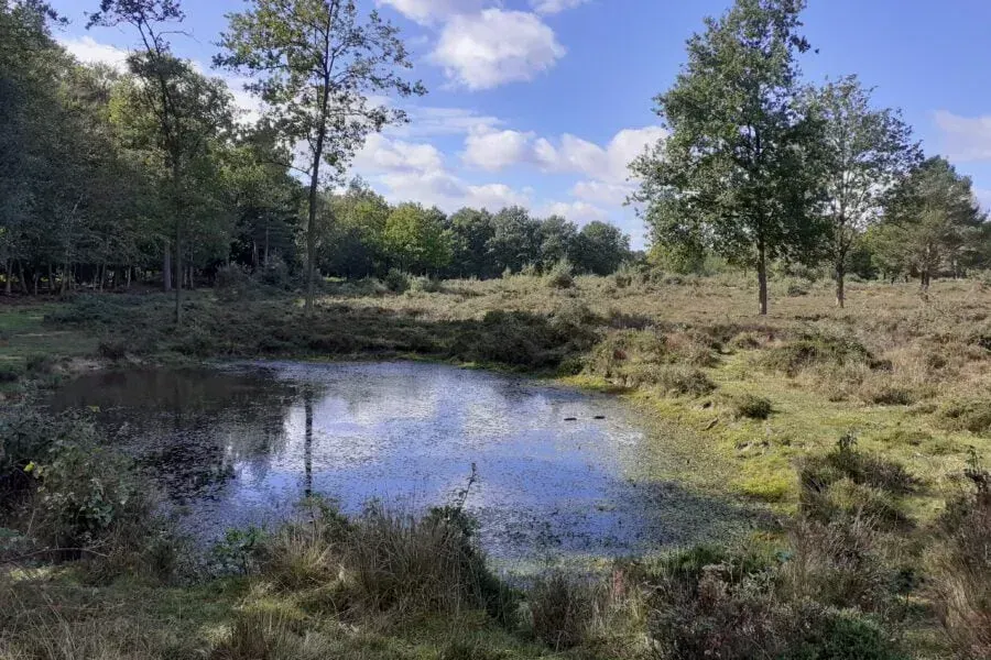
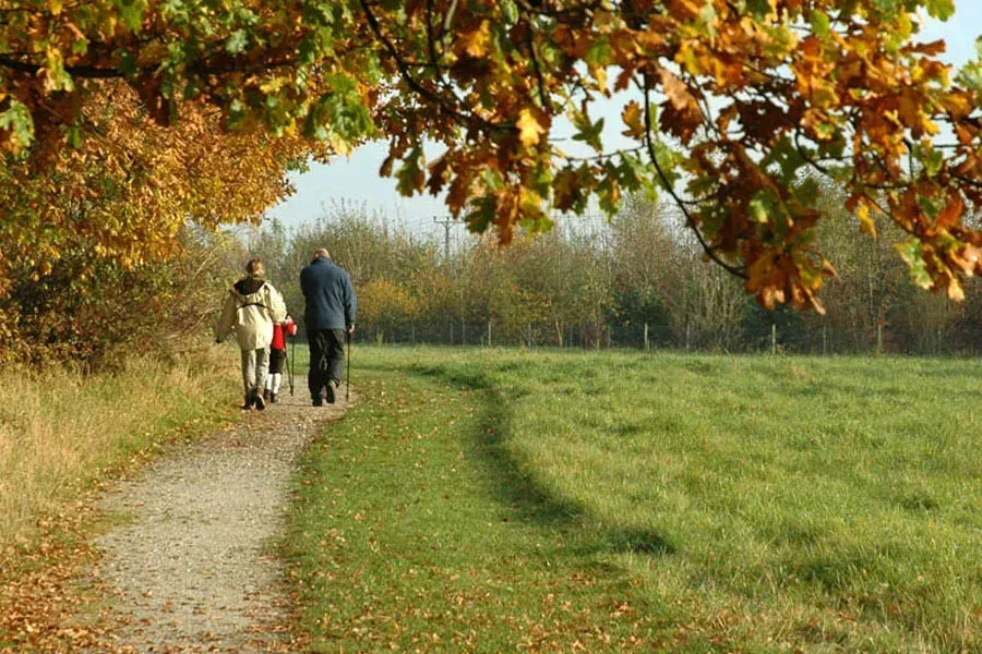
In parallel, our Environmental Planning team produced the Landscape and Visual Impact Assessment (LVIA) for the Environmental Statement. The assessment considered the scheme’s effects on landscape character and key landscape features, including the Lincoln Cliff escarpment, which is designated as an Area of Great Landscape Value. The visual assessment examined views from local Public Rights of Way, including the Viking Way long-distance footpath, as well as nearby roads and residential properties, supported by the preparation of photomontages.
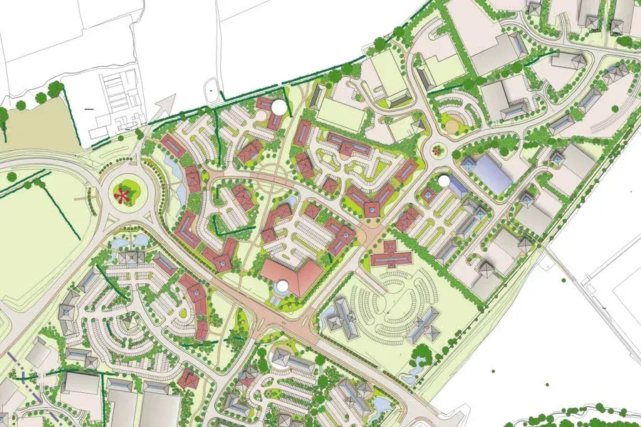
The Planning team also managed the planning application process, including producing a Planning Statement, Design and Access Statement and project managing the technical team including reviewing all supporting documentation. A planning application was created on the planning portal, including all certificates and notices, and the uploading of over 350 documents! We then proceeded to ensure a prompt validation and monitored the application through the 16-week determination period (EIA Development), liaising with statutory consultees to resolve any technical queries. We supported the scheme at Planning Committee stage and welcomed a positive decision. Prior to commencement of development, we supported the client on discharging the planning conditions to ensure a prompt start on site.
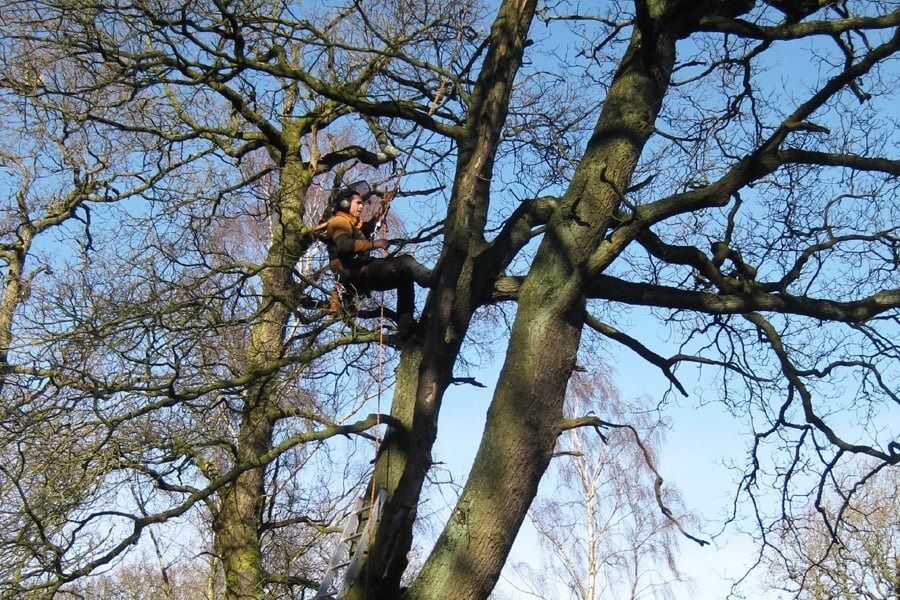
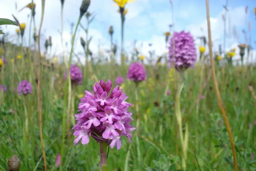
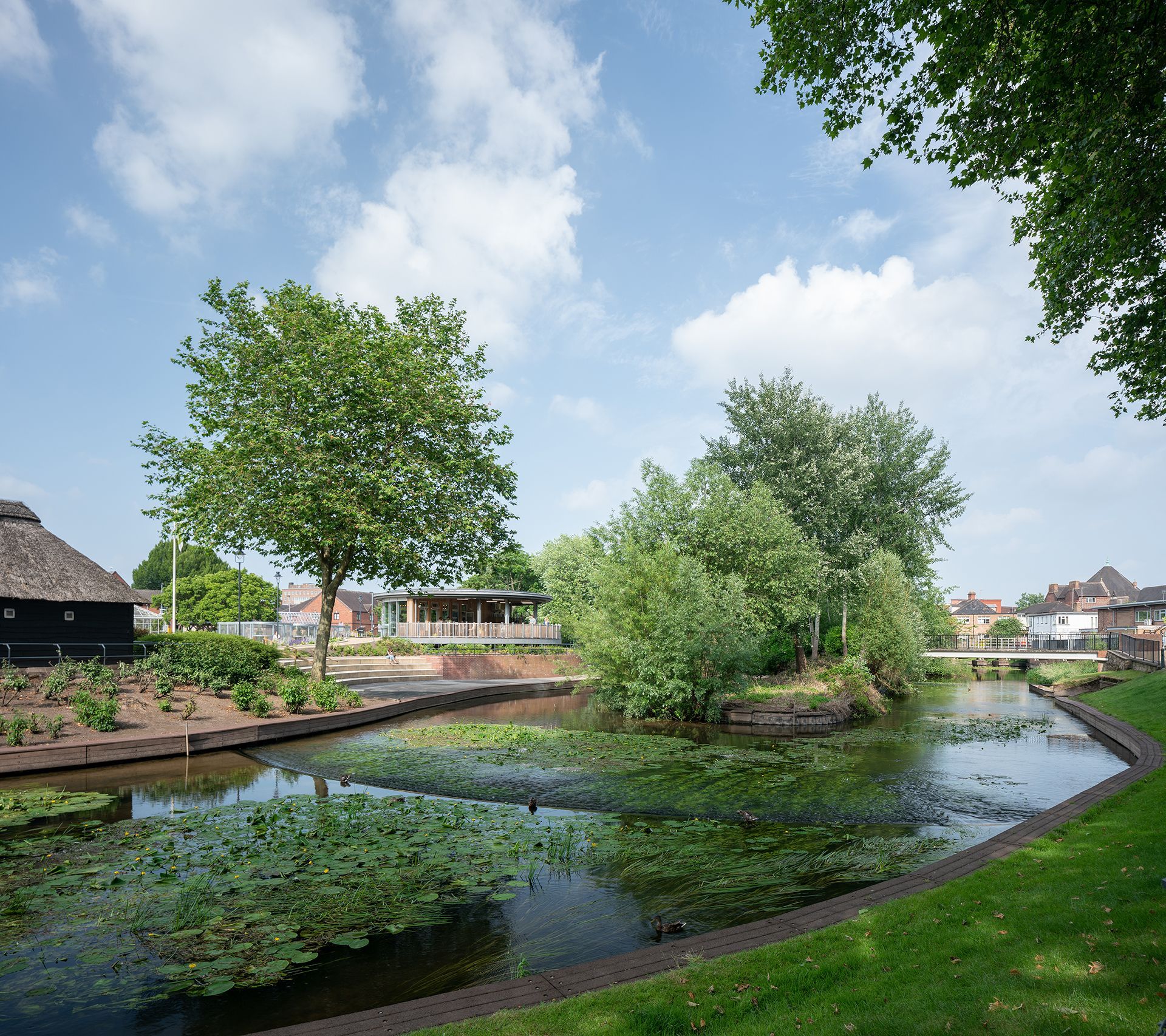
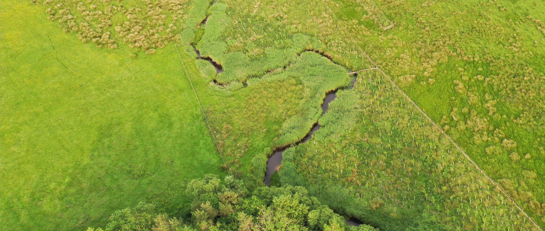
Alongside the core heritage, landscape and planning work, the project benefited from input across TEP’swider in-house teams. The Ecology team conducted a range of surveys, including those for birds, bats and badgers, as well as habitats and vegetation. Bat activity was assessed using static data loggers deployed across the relevant seasons to inform understanding of site use. The Arboriculture team undertook tree surveys and provided advice on tree retention and protection, supporting the preservation of existing trees within the typically open Lincolnshire landscape where possible, and the Land Management team prepared the Landscape Management Plan, setting out how the landscape would be established and managed over time to achieve the intended ecological and landscape outcomes. Working closely with our in-house Landscape Design team, the landscape planners helped shape a landscape strategy that responds to the surrounding character while supporting biodiversity net gain. The proposals incorporate swale drainage, structural and screen planting, and the re-routing of part of the Viking Way.
Our combined heritage and landscape assessments informed mitigation measures to minimise impacts on archaeological remains and the wider landscape, including adjustments to the road alignment, footpaths, embankments, and attenuation ponds. Where impacts could not be avoided, we recommended pre-construction archaeological works and prepared a Written Scheme of Investigation to secure them through planning conditions.
Full planning approval has since been granted, with heritage, landscape and environmental considerations fully integrated into the scheme, helping balance infrastructure delivery with the protection of Lincolnshire’s historic and landscape character.