The study aimed to improve the National Trust’s understanding of the hydrology at Ormesby Hall, including both surface and subsurface water processes. It explored the feasibility and potential benefits of strategically located Natural Flood Management (NFM) interventions to reduce impacts on site infrastructure, manage water leaving the site, and support habitat enhancement and creation.
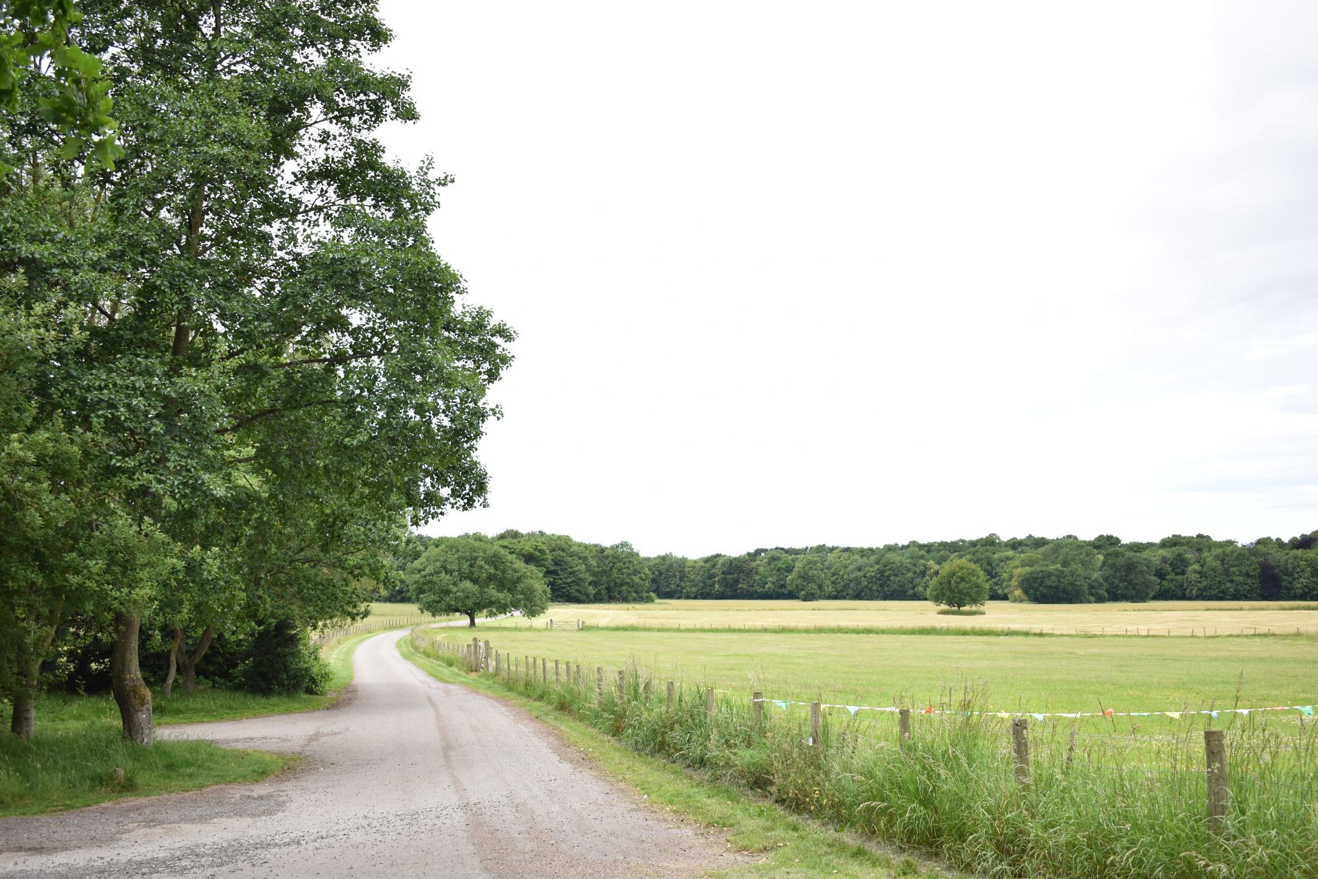
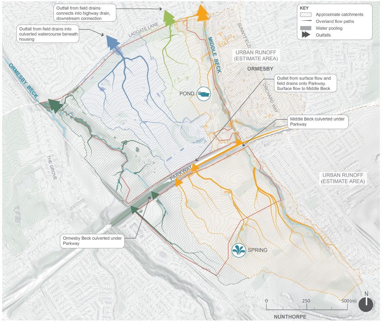
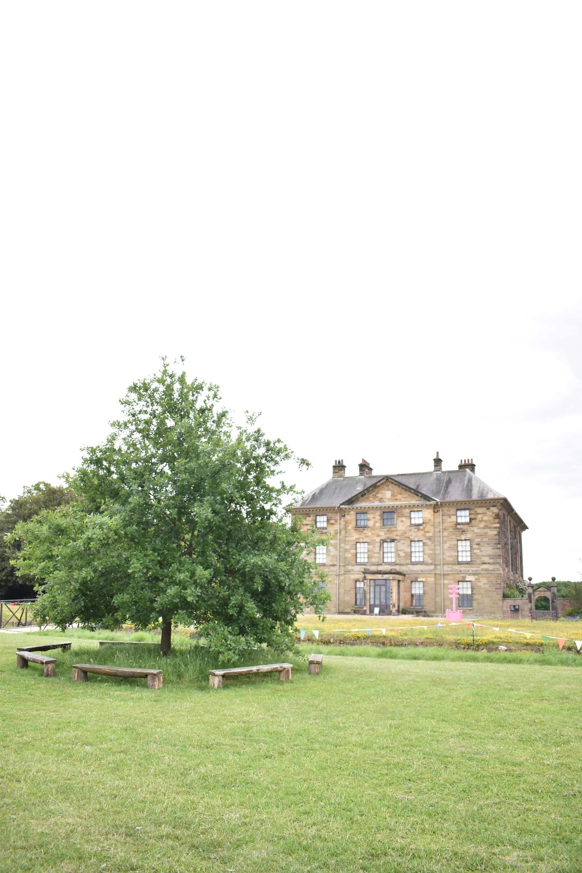
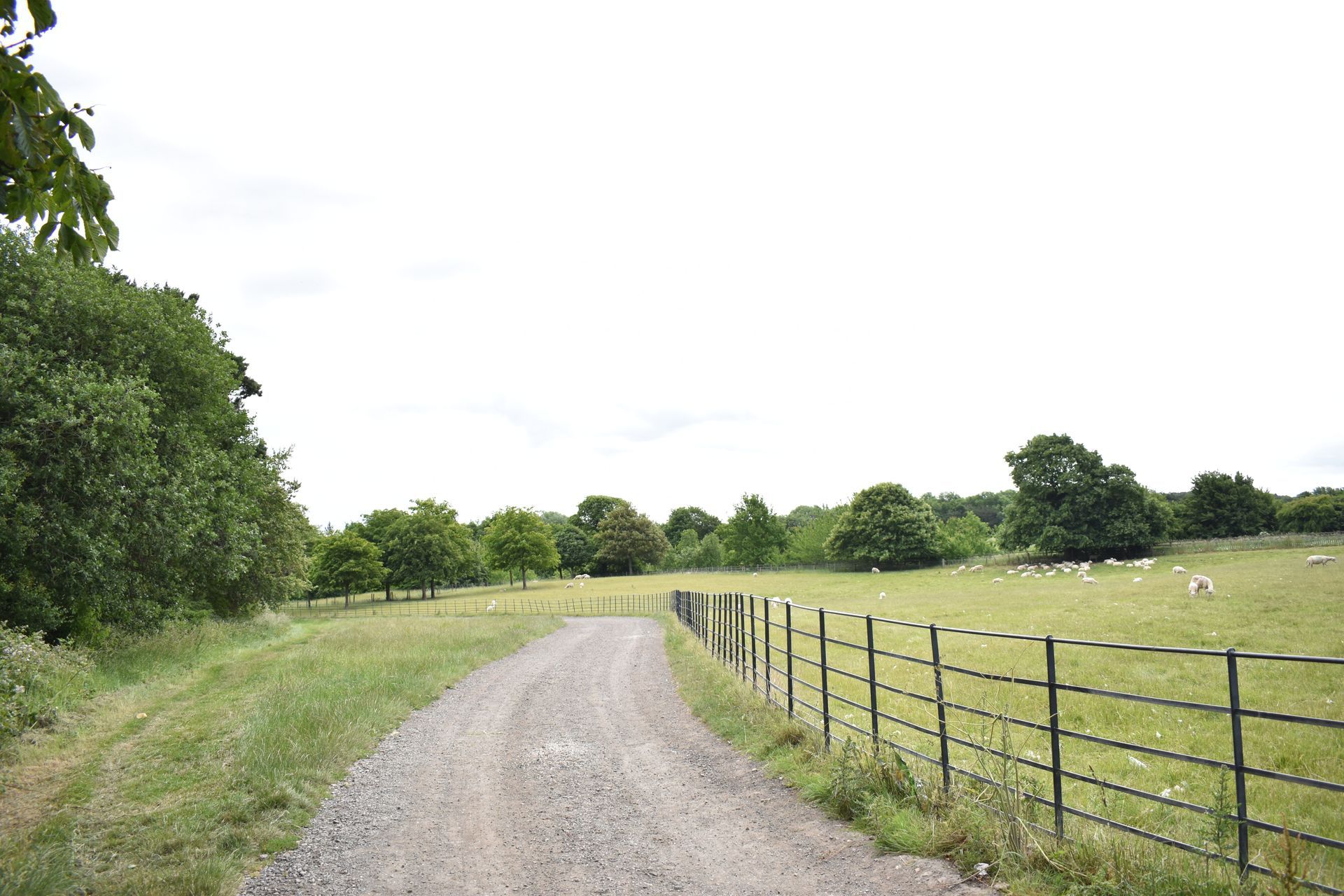
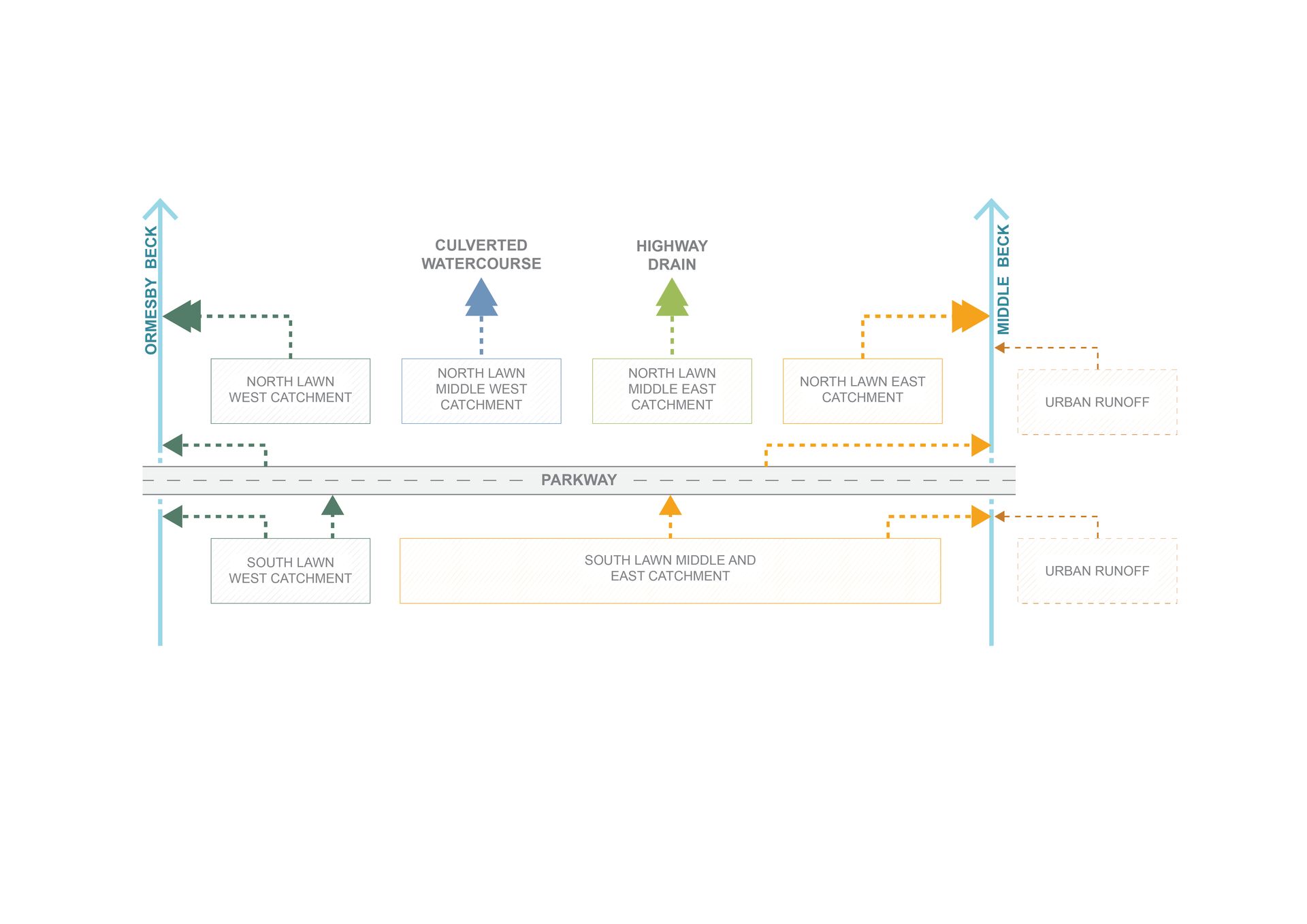
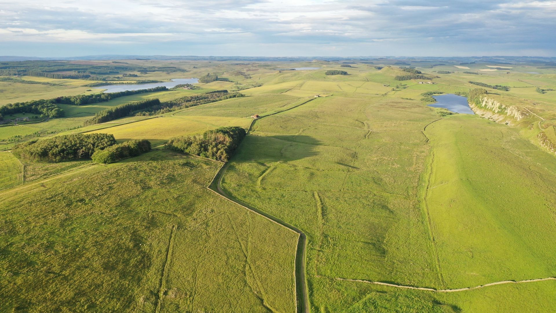
The site presented several challenges for analysis and design, including the A174 Parkway running through and dividing the site into northern and southern areas; the presence of historic buildings and landscape features; protected parkland views across the site; and extensive historic land drainage systems with limited and inaccurate records. Initial site investigations further highlighted the complexity of the site’s hydrology.
The study comprised the following key elements:
- A desktop review of historic imagery and mapping, drainage records, LiDAR, hydrological data, and other relevant landscape factors.
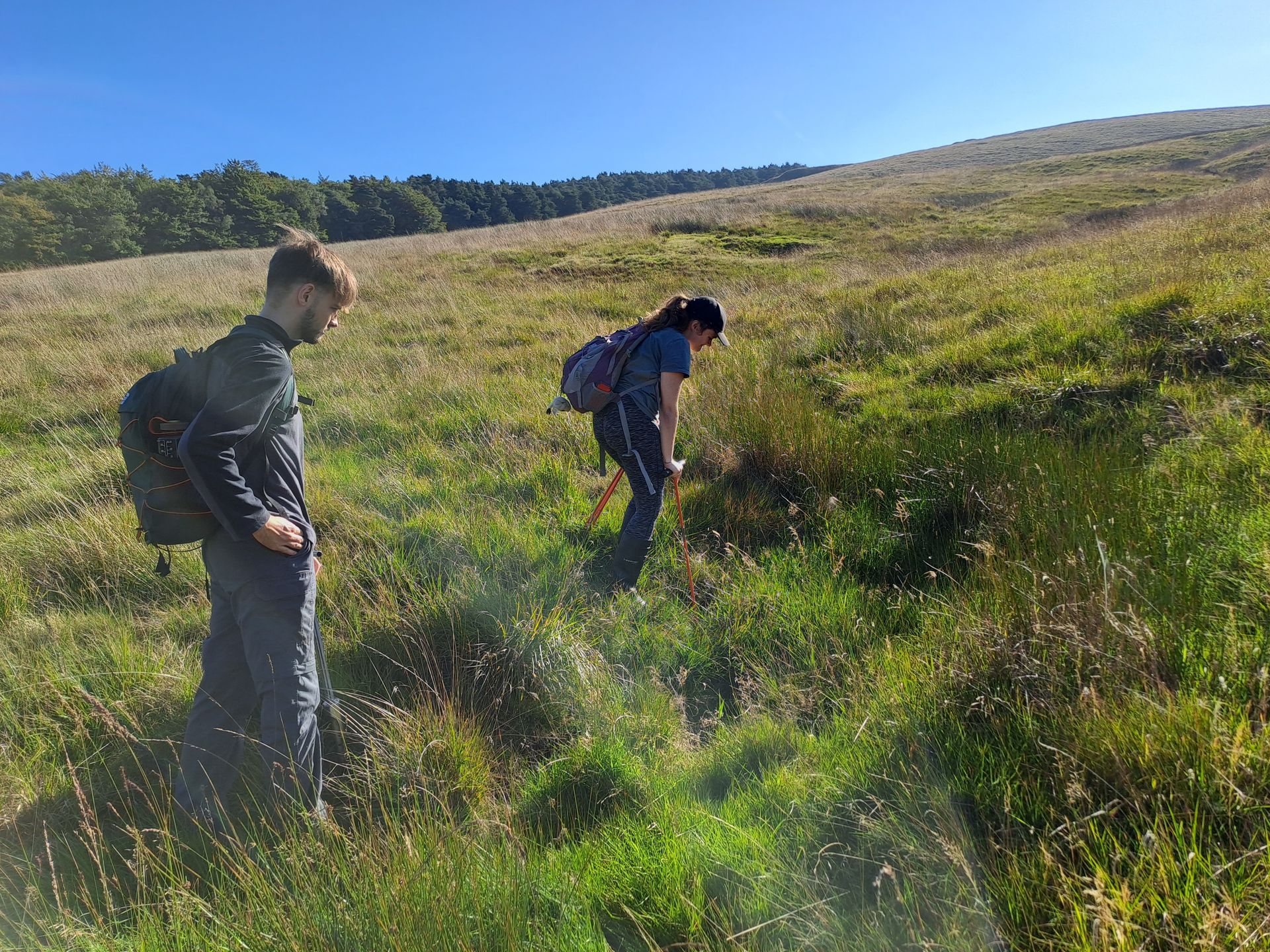
- Site investigations, observations, and discussions with the National Trust and the tenant farmer to ground-truth desktop findings and clarify drainage features across the site. Soil sampling and infiltration testing were also undertaken.
- Baseline 2D hydrological modelling of the site.
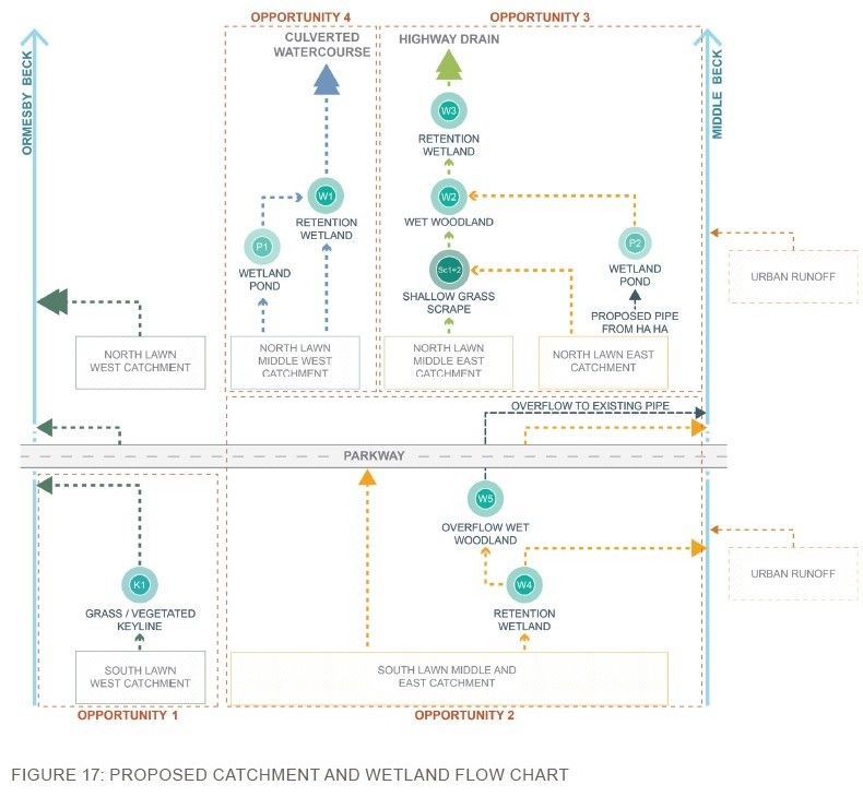
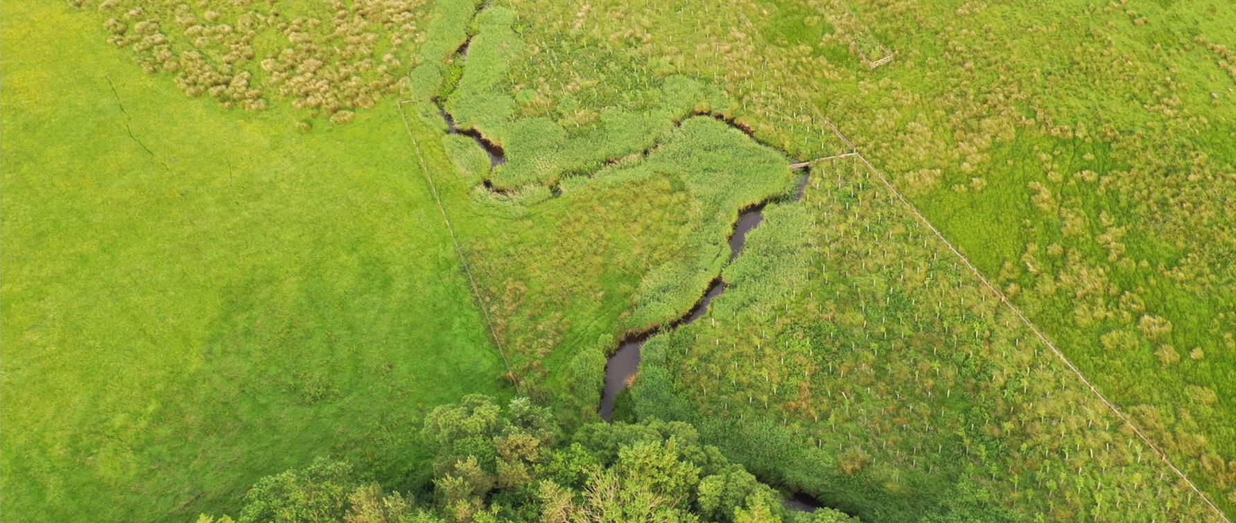
- Identification of NFM interventions appropriate to the site and designed to complement and enhance existing heritage features.
- Development of a site-wide strategy that sensitively integrates NFM interventions within the landscape and reduces runoff leaving the site.
- A stakeholder design workshop and site walkover with the National Trust to present initial design options and gather feedback from relevant stakeholders.
- Development of the preferred design strategy into a comprehensive masterplan.
- 2D hydrological modelling of the proposed scheme, assessing its impact and benefits compared to the baseline across a range of rainfall events, including allowances for climate change.
- Preparation of a high-level cost estimate for potential construction.
A range of tools was used to support a collaborative and efficient, iterative design process. These included:
- SCALGO’s Canvas tool, enabling consultants to share ideas and observations spatially across the site.
- The development of an NFM intervention toolkit to clearly define and communicate the types of measures that could be implemented across the site.
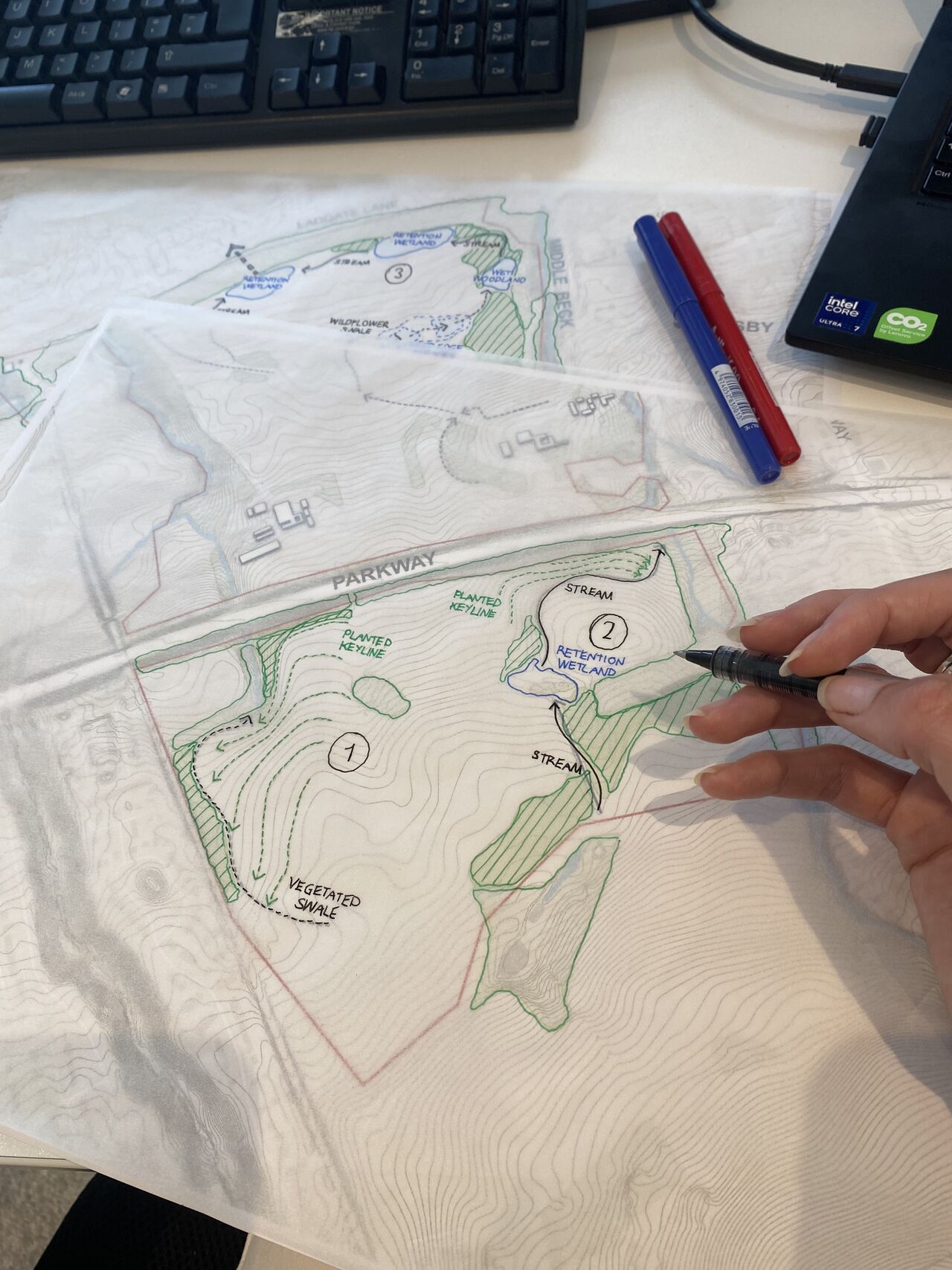
- Ongoing collaboration between hydraulic engineers and landscape designers, with modelling outputs informing design development and vice versa.
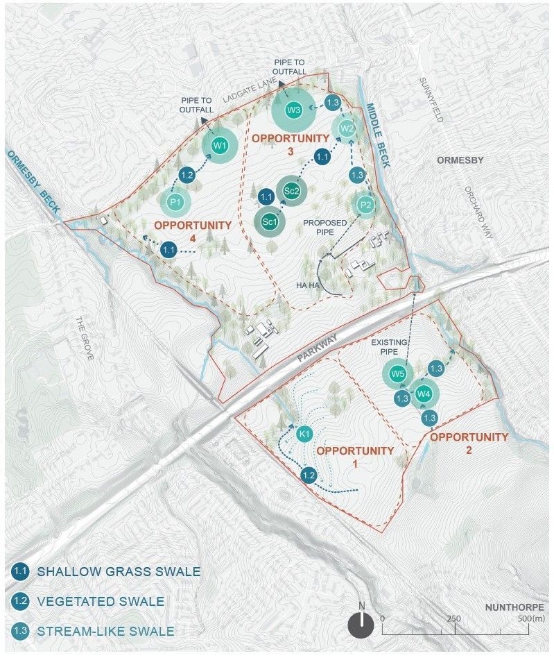
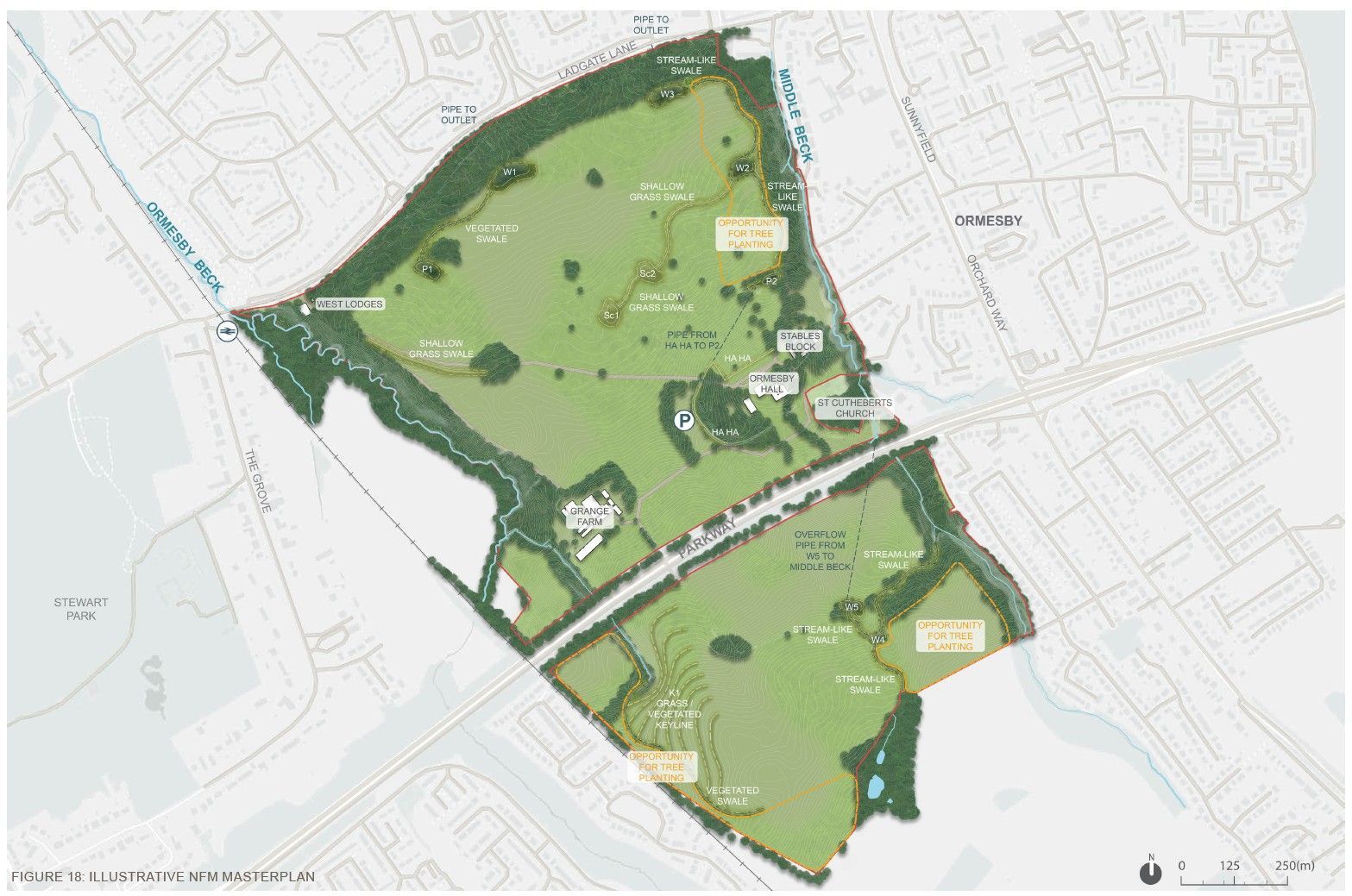
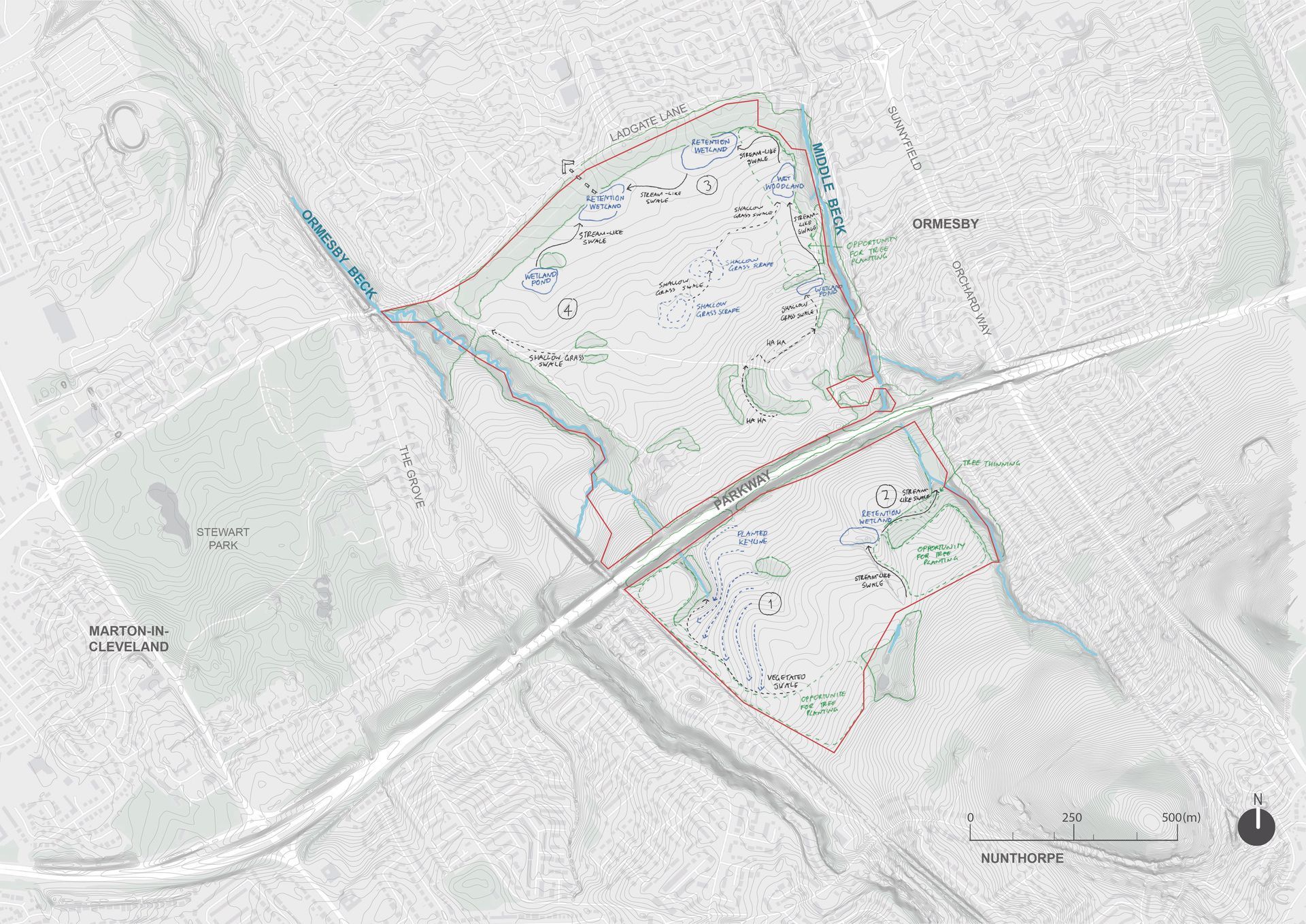
The final design sets out a site-wide strategy comprising a series of interconnected NFM interventions, organised into four opportunity areas. This structure allows for the phased implementation of the scheme. In addition, land management changes aligned with the National Trust’s wider landscape plans were proposed to further improve hydrological performance alongside the NFM interventions.
A 2D hydrological model of the scheme was developed using InfoDrainage, producing flood maps and quantified reductions in runoff, supported by tables and graphs across a range of rainfall events. These outputs will support the National Trust in subsequent project stages, including securing funding, obtaining planning consent, and progressing to detailed design and construction.